Page 60 - Three phases of the construction of the water tower in Bardenberg - water tower in WikiPedia -
Map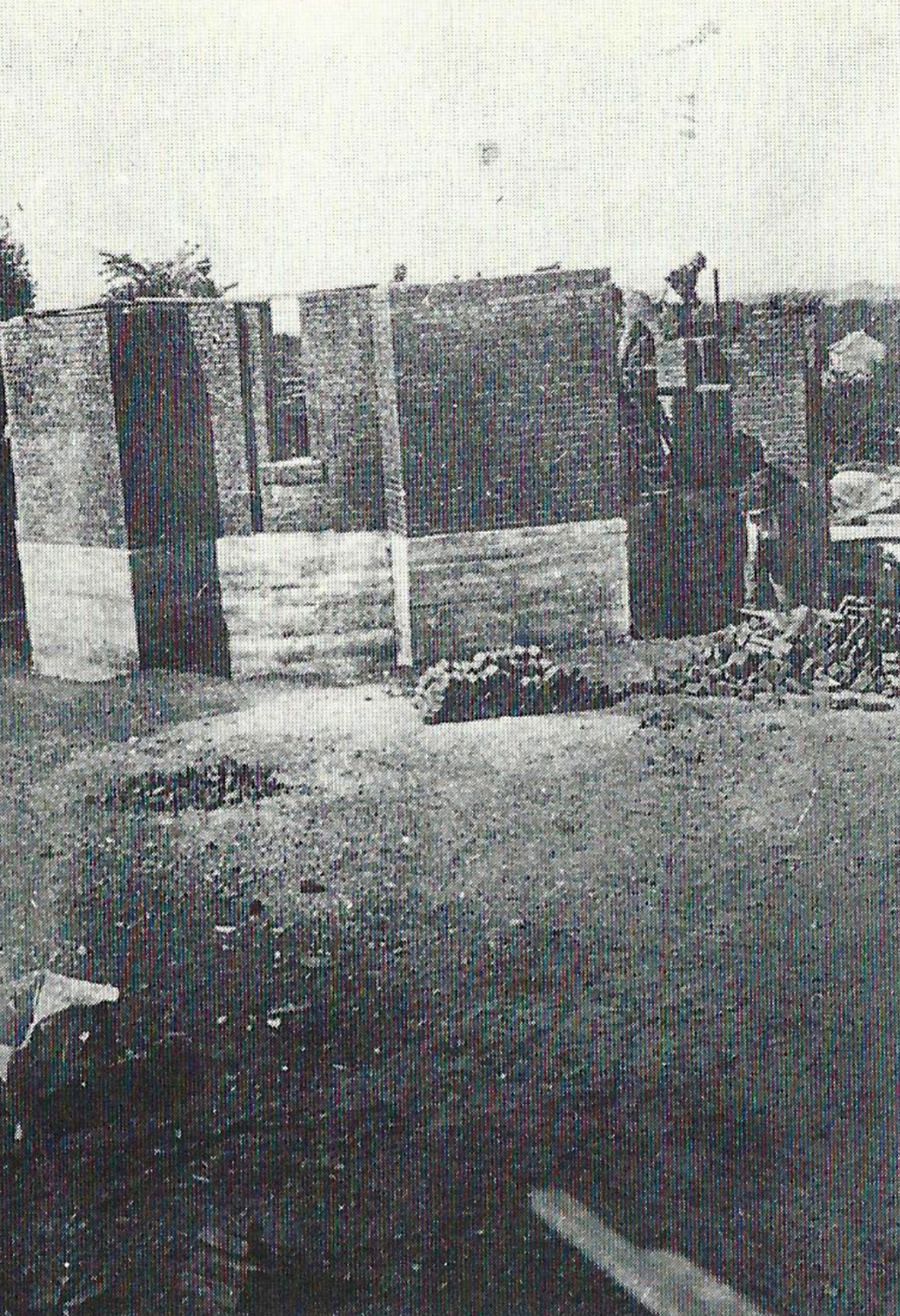
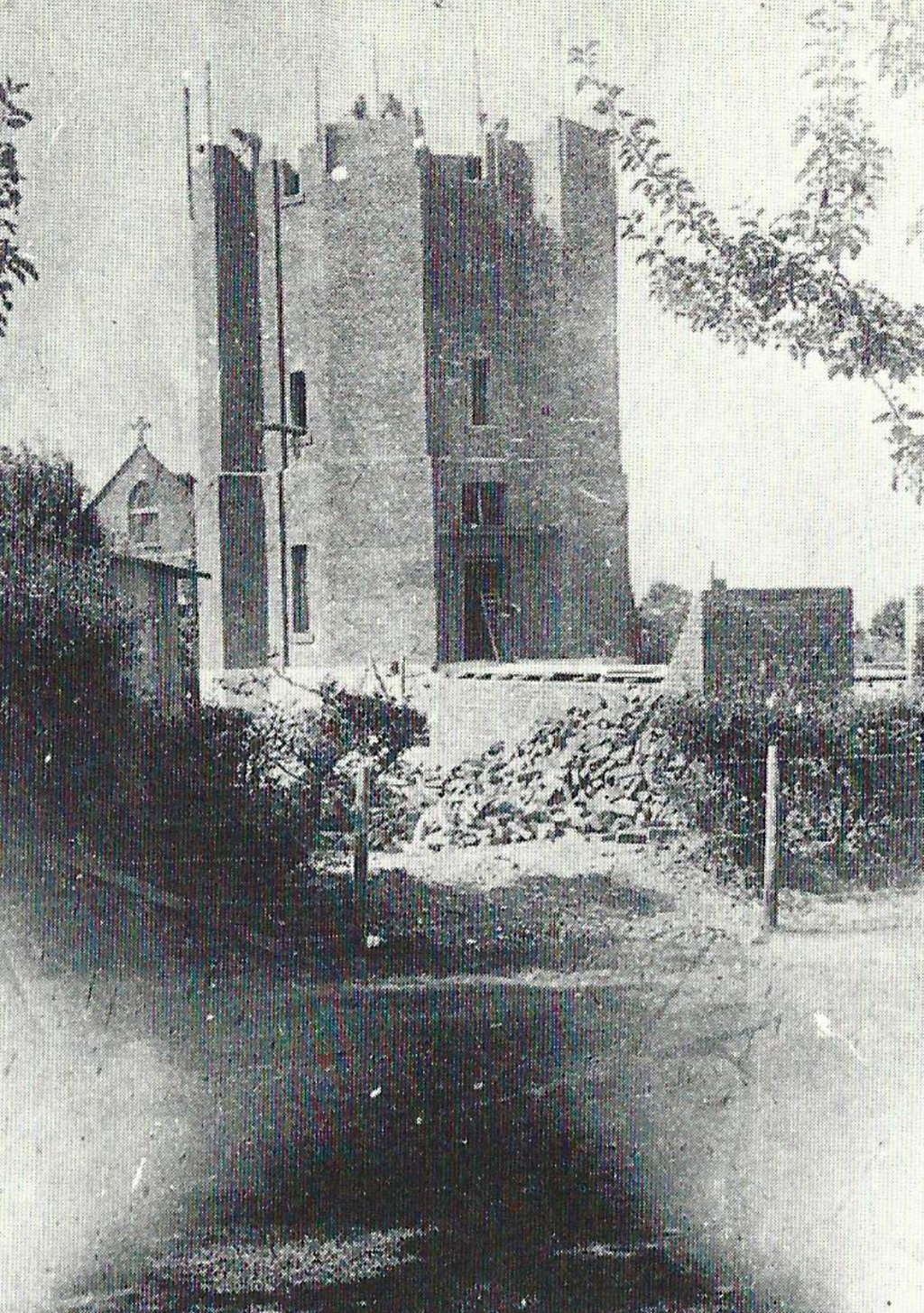
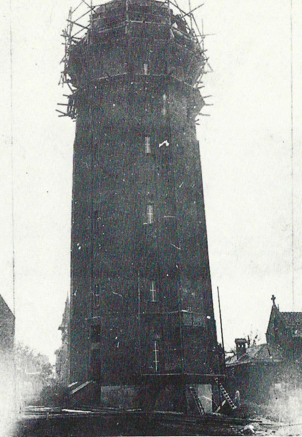
A widely visible landmark of Bardenberg is the water tower, built in 1911. The pictures show the phases of construction. At the same time, they laid water pipes in Bardenberg and (about 1912) in Würselen. Where water pipes were initially too expensive, the old pumps remained in the service. Water supply existed before this time partly through the water out of the coal mines in the neighborhood. The newspaper “Echo der Gegenwart” wrote on 7/9, 1901:
"Since the two-year existence of the local (Bardenberger) beautification club, our place has been enriched with some jewelry ... By connecting the water pipe from the Gouley mine, it has been possible to drop away some of the water piles, which often were dirty cesspools, and to build beautiful fountains in suitable places.“
To this water pipe of Gouley to the mining shaft called “Gemeinschaft” close to Duffesheide closed the municipality of Bardenberg connected seven outlets for the public water supply.
Page 61 -
Map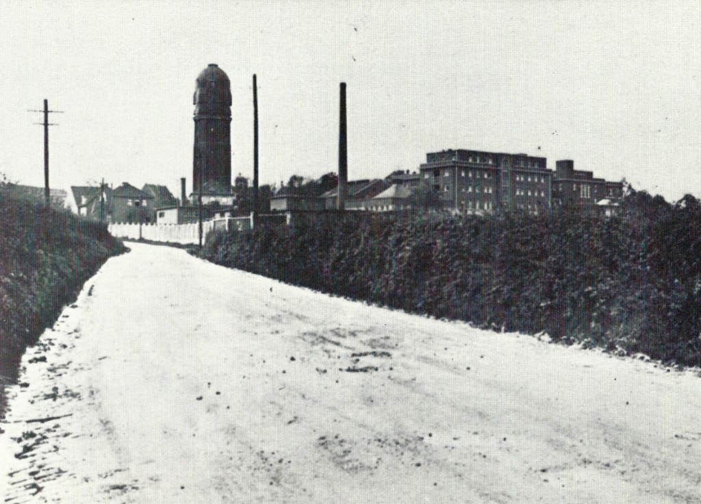
Niederbardenberger Straße, not yet developed, overlooking the water tower and the hospital. The large extension, completed in 1931, can be seen. The picture was taken in the 1930s.
Page 62 -
Map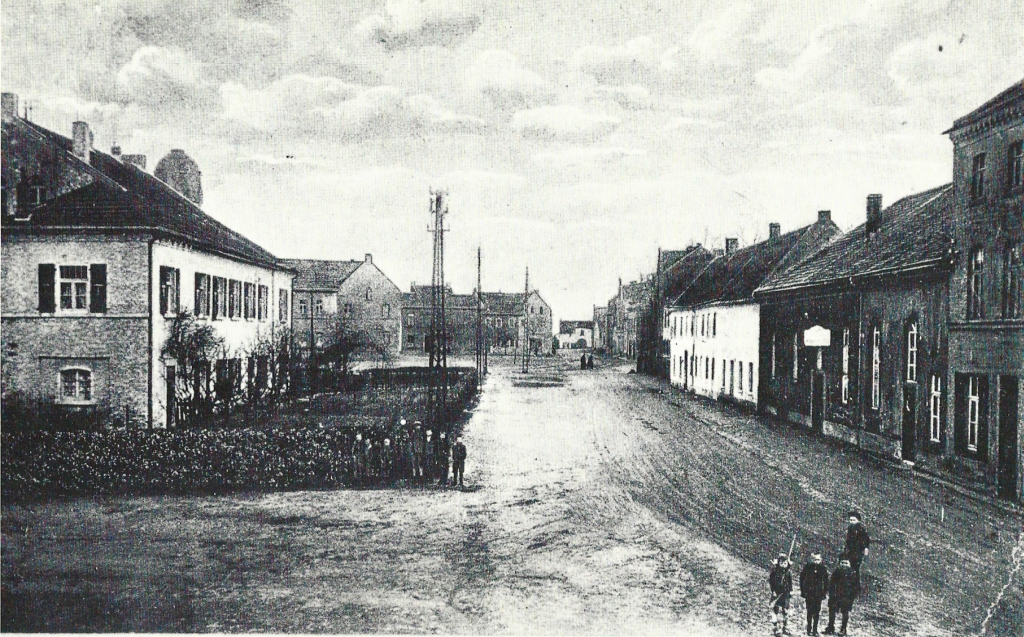
View into the Dorfstraße, on the left the school and community house, behind it the dome of the water tower; picture taken after 1911.
Page 63 -
Map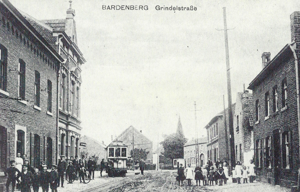
This postcard of Grindelstraße shows the postmark of 6 June 1915. Since 1896, the line number 21 of the Aachen tram system connected Aachen-Haaren-Würselen-Bardenberg. Here, in the Grindelstraße was also the terminal stop.
Page 64
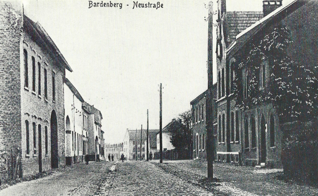
After the turn of the century: The former Neustraße as a cobbleway. Since The municipal reorganization now called "An Steinhaus."
Page 65 - Wegekreuz vor Heidestraße 16
Map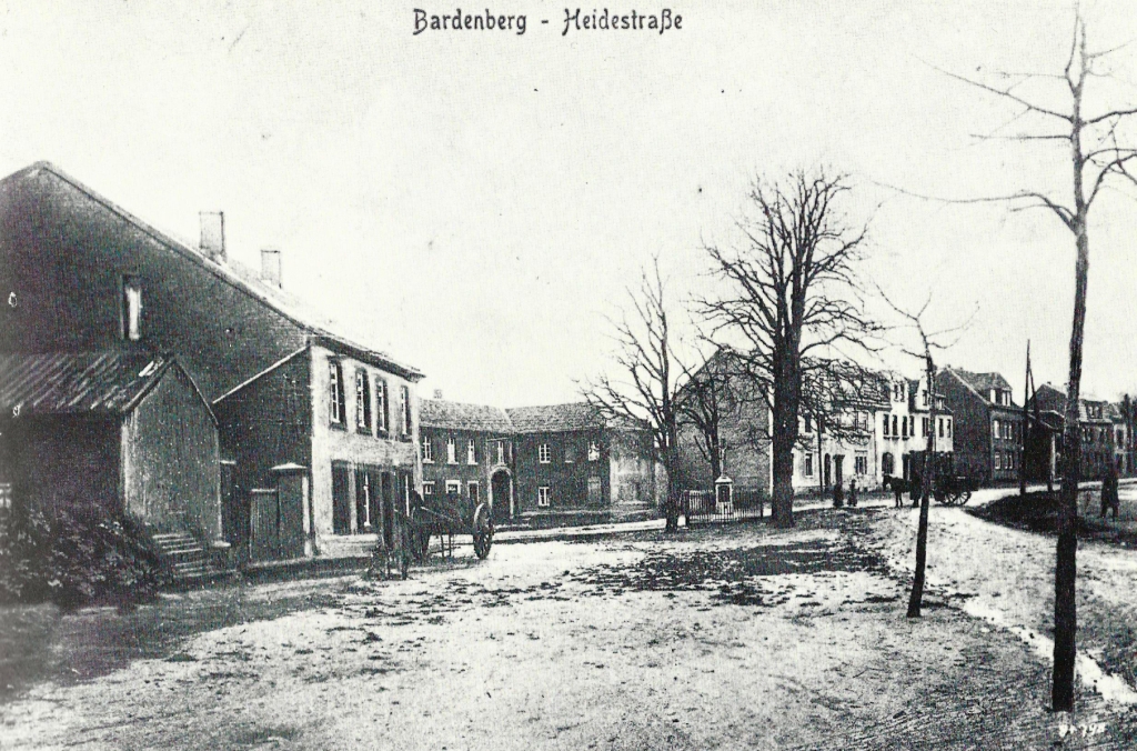
Lower Heidestraße around 1900. The Christian wayside shrine dates back to 1891 and is a listed building.
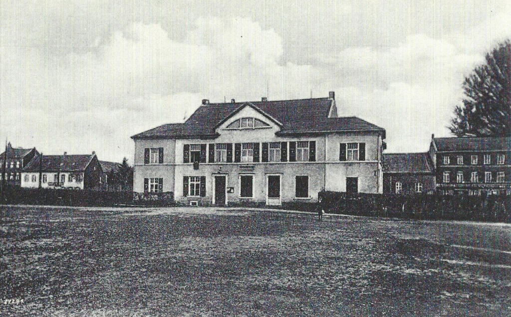
Page 66 - Picture at the top - Description see next picture
Page 66 - Picture at the bottom
_1024.jpg)
From 1829 to 1830, the Bardenberger "School and community house " was erected (see also page 62). The Chronicle reports that as early as 1831, a second teacher was hired there, and that the school in 1840 had to be extended by symmetrical wing buildings. Until 1907, the building served as a school and office, then rebuilt for the purpose of the municipal administration (Pictures taken at the turn of the century).
Page 67
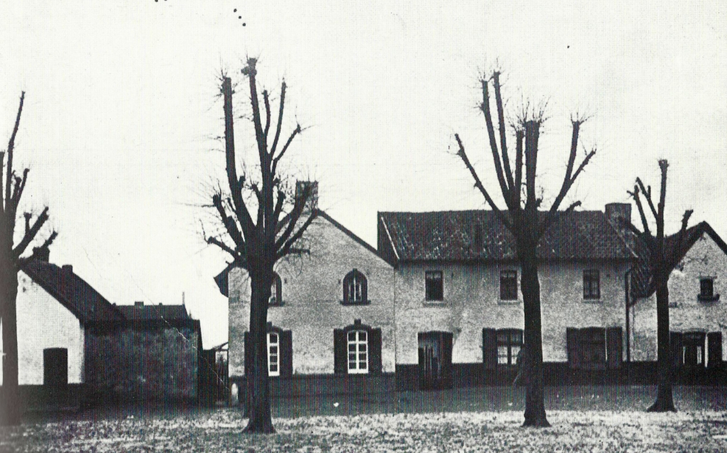
In old hallway maps (1691), this area was called "Auff Kayser," today "Am Kaiser, "along Bardenberger’s Lindenplatz (1928).
Page 68 -
Map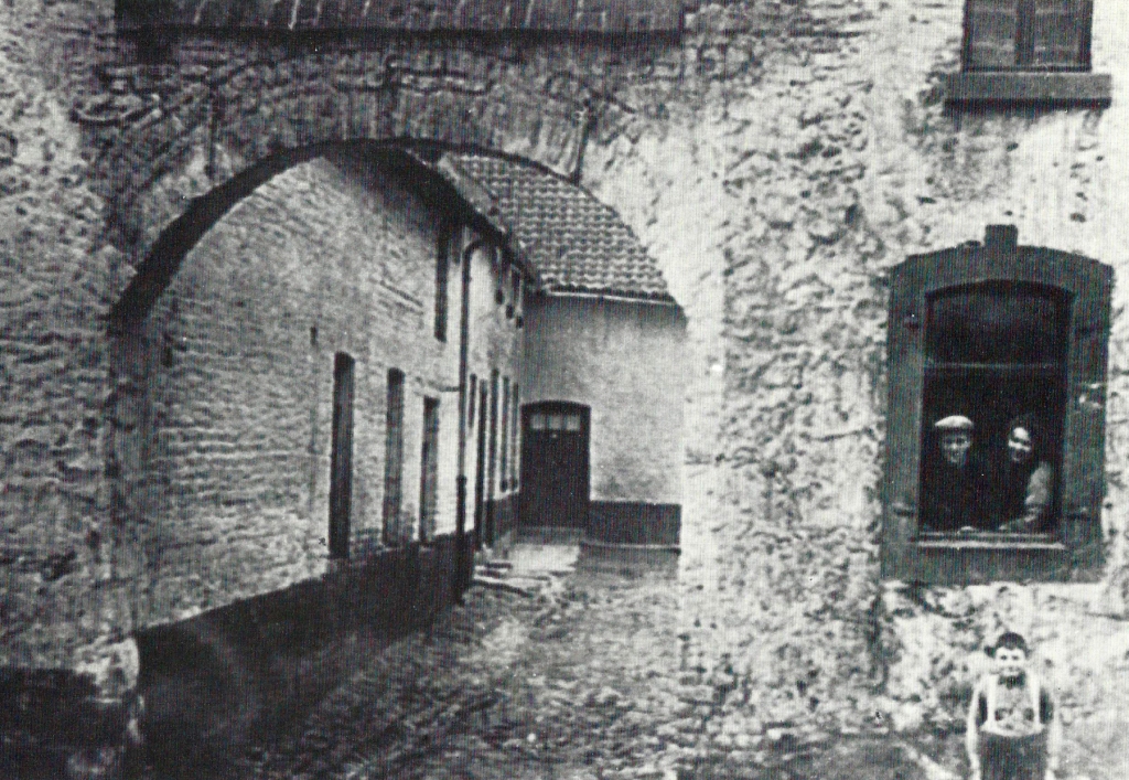
Around 1900: Dwelling house with archway and farm flats in the Dorfstraße; Today ‘Electro Gay’.
Page 69 -
Map_1908_1024.jpg)
Bardenberg children in front of the ‘Schroiffshof’ (also ‘Mahrhof’), corner of Heidestraße and Neustraße, before 1908 (the Neustraße is now called „An Steinhaus”).
Page 70
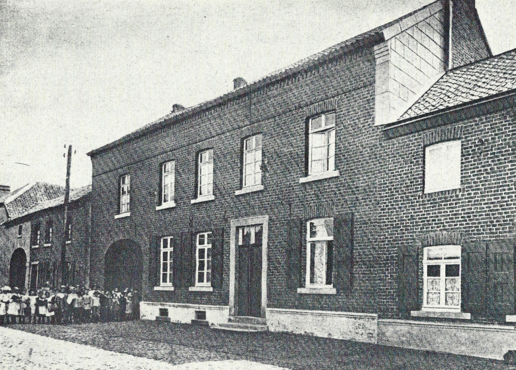
Oldest “Bergschule” in the Wurm area. Established in 1867 in the house of Göbbels (An Steinhaus), it was moved to the Knappschaft Hospital in 1871 (see also page 90/91).
Page 71
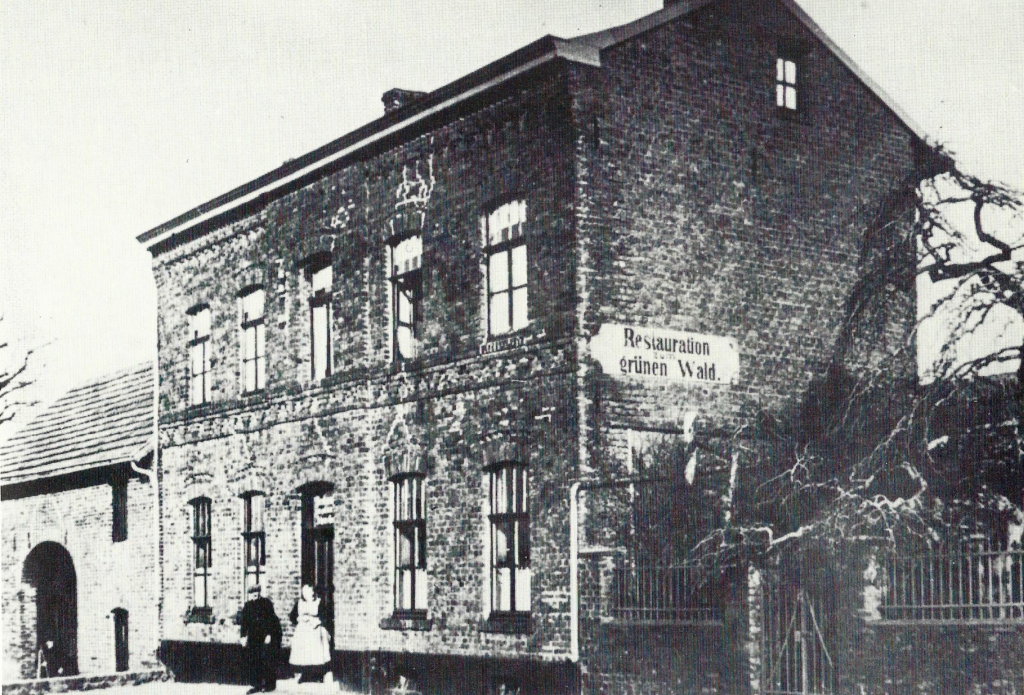
Restauration „Zum grünen Wald“, located at the entrance to the district of Bardenberg called Pley. Previously, the operator of the Furth mine was living there (photo circa 1900).
Page 72 - Schloss Ottenfeld -
Map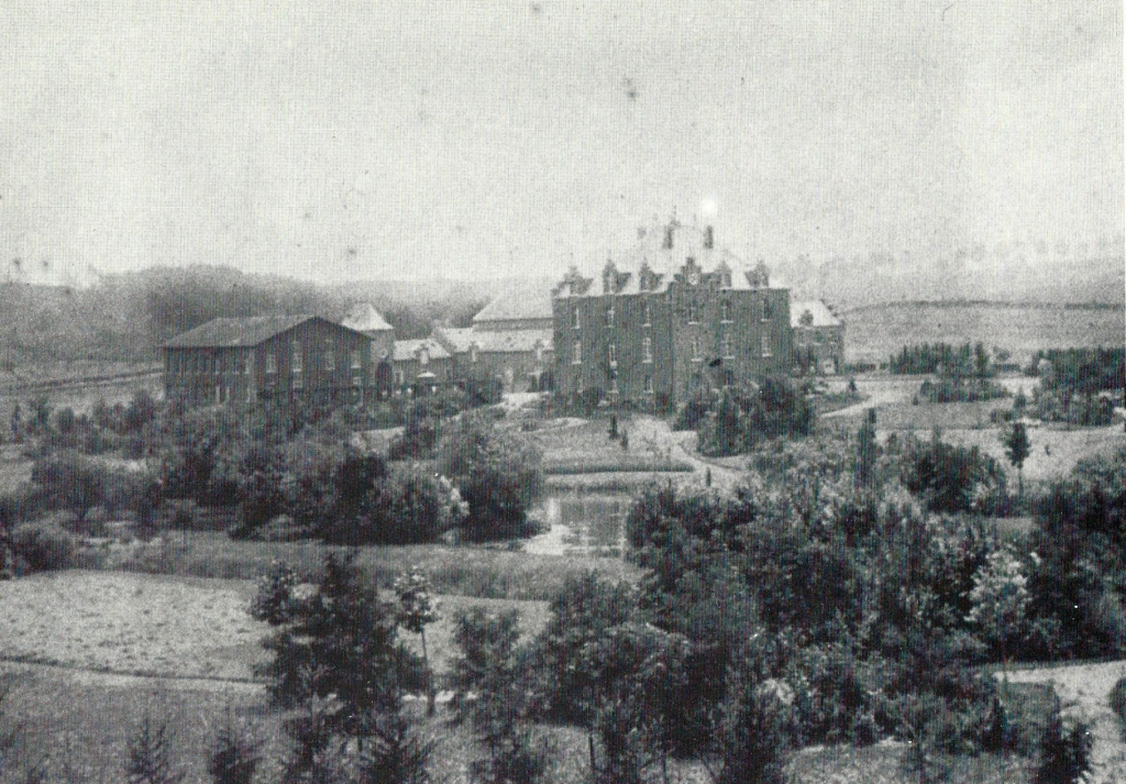
View of Schloß Ottenfeld. It was built in 1878 by Baron Charles von Blanckart. The associated estate dates back at least to the 15th century. The Guard of Rentmeister Theodor Genuit (1846 to 1944) was a member of the Bardenberg Municipal Council for 55 years and an honorary citizen of the municipality.

