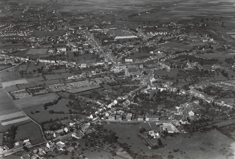
This page is dedicated to an arial photograph of Würselen (in the context of today this is the center of Würselen and the Bardenberg district in the background). The arial image dates back to the 1950ties or a litte bit later. The postcard has a size of 13 cm x 10 cm. Without a mganifier, it is nearly impossible to find details.
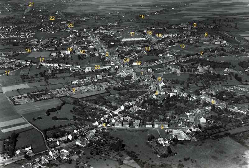
The postcard was scanned with the highest resolution available. The following figures shows different display windows and zooms. To ease orientation, there is a copy of the arial photograph with keys on it. These keys indicate certain landmarks listed in table.
The Original
Postcard showing an arial photo of Würselen ca. 1950
(private property, publication declassified through the 'Minister für Wirtschaft und Verkehr des Landes Nordrhein-Westfalen', Number CR 4191)
Click on the image to show a high resolution (UHD) image of the picture in a new browser page.
Display windows
Northwest
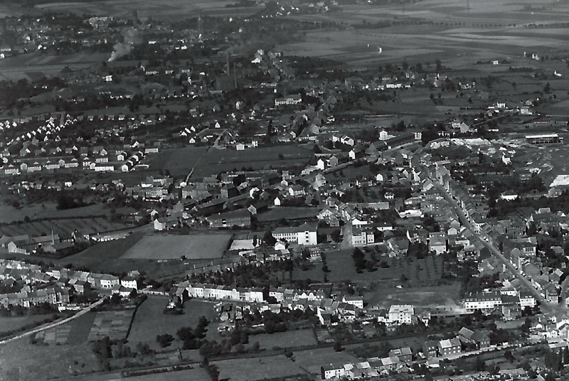
Display window nothwesterly quarter
Southwest
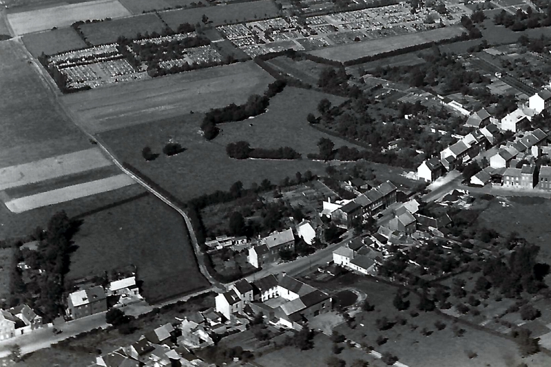
Display window southwesterly quarter
Southeast
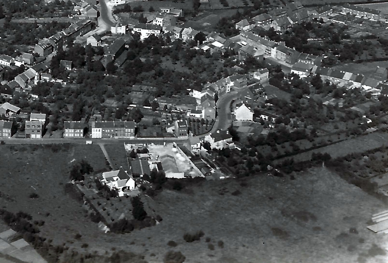
Display window southeastly quarter
Northeast
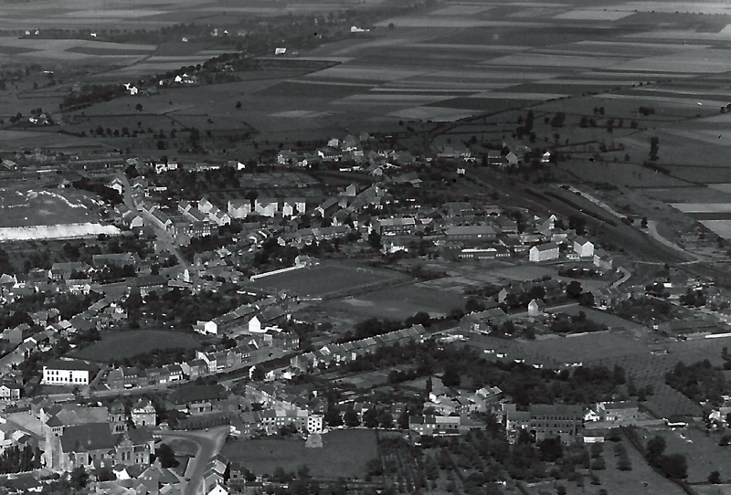
Display window northeastly quarter
Landmarks
Arial photograph with keys to landmarks
Meaning see the following table
Click on the image to show a high resolution (UHD) image of the picture in a new browser page.
| 1 | Church St. Sebastian | |
| 2 | Kaiserstraße | |
| 3 | Cemetry | |
| 4 | Haaler Straße | |
| 5 | Ankerstraße | |
| 6 | Oppener Straße | |
| 7 | Wilhelmstraße | |
| 8 | Railway station/ Begin Bahnhofstraße, Konsumgesellschaft | |
| 9 | Hühnerwinkel | |
| 10 | Wiesenhof | |
| 11 | Lime heap Solvey factory (Elchenrather / Kreuzstraße | |
| 12 | Lindenplatz | |
| 13 | Sports ground Rhenania Würselen | |
| 14 | School Friedrichstraße | |
| 15 | Kreuzstraße | |
| 16 | Aachener / Krefelder Straße | |
| 17 | Klosterstraße | |
| 18 | School Klosterstraße | |
| 19 | Cloister / Residential home for the elderly | |
| 20 | Morsbacher Straße | |
| 21 | Water tower Bardenberg | |
| 22 | Pit Gouley | |
| 23 | Neuhäuser Straße | |
| 24 | Bissener Straße |


