
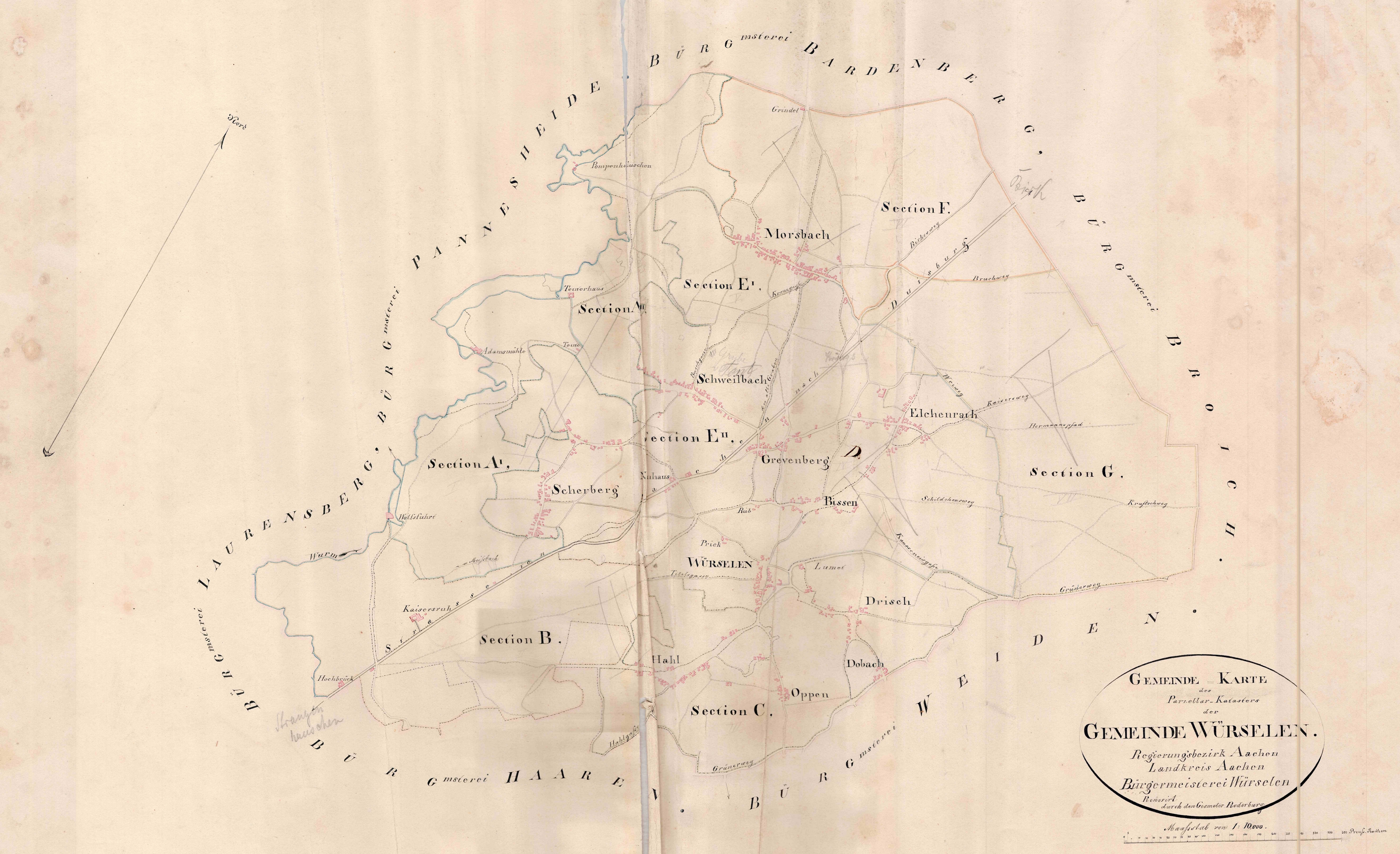
Source: Stadtarchiv Würselen, published with permission of the Geschichtswerkstatt Würselen
Historic city map of Würselen dated 1843.
Click on the map to open a high resolution image on a new browser page


Select your language

")
Source: Stadtarchiv Würselen, published with permission of the Geschichtswerkstatt Würselen
Historic city map of Würselen dated 1843.
Click on the map to open a high resolution image on a new browser page