


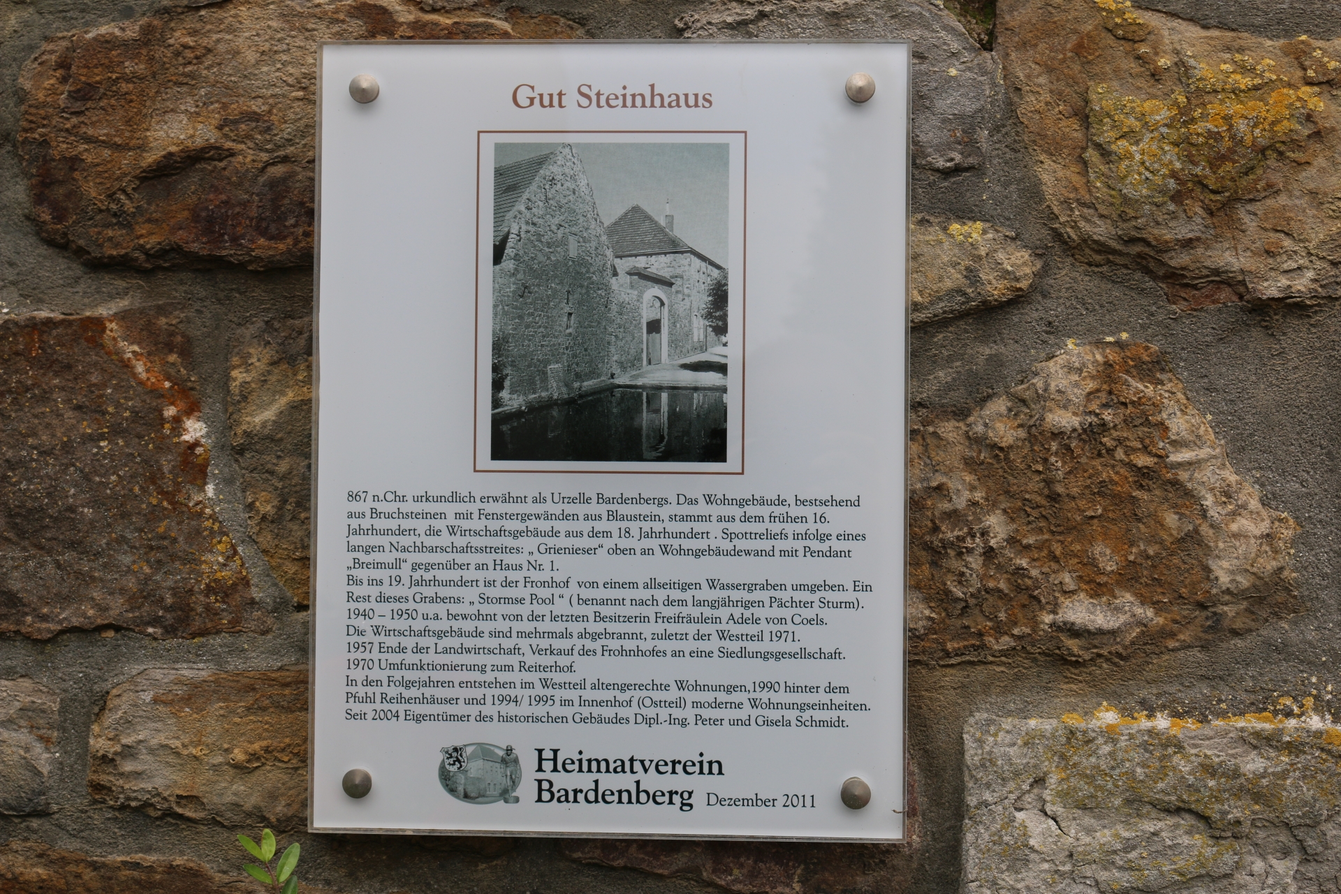
")
This dictionary provides information to each picture. Click on the picture to get an enlarged view of the picture in a new window. Click on the symbol  to open a map that marks the location where the picture was taken. In addition, the coordinates of this location, the date and the author including the licence information are given. The symbol
  indicates an external link for more detailled information on the topic.
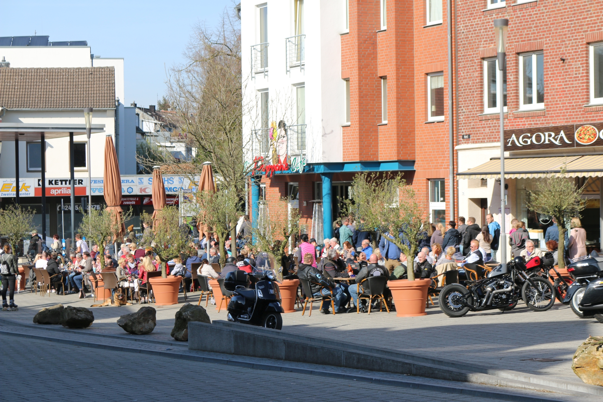
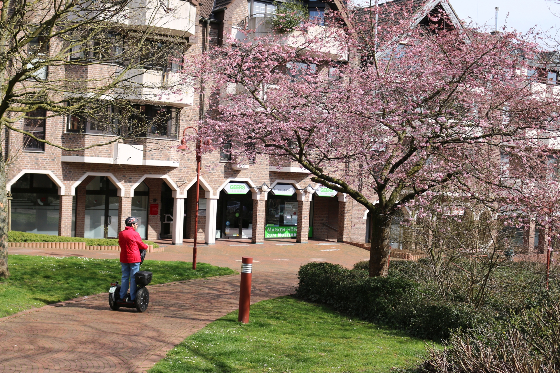
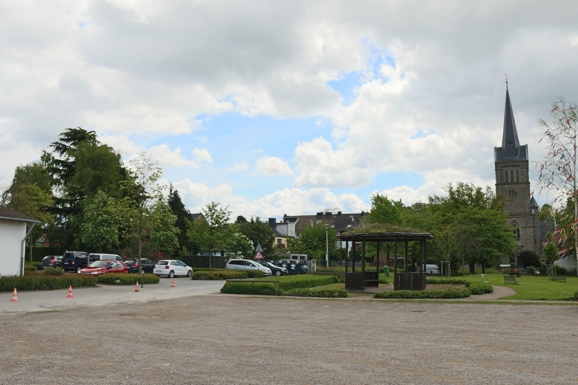
Pavement café Markt
Category: Street
District: Würselen Zentrum
![]() 6,13305° O 50,81784° N
6,13305° O 50,81784° N
28.02.2017, KWH 
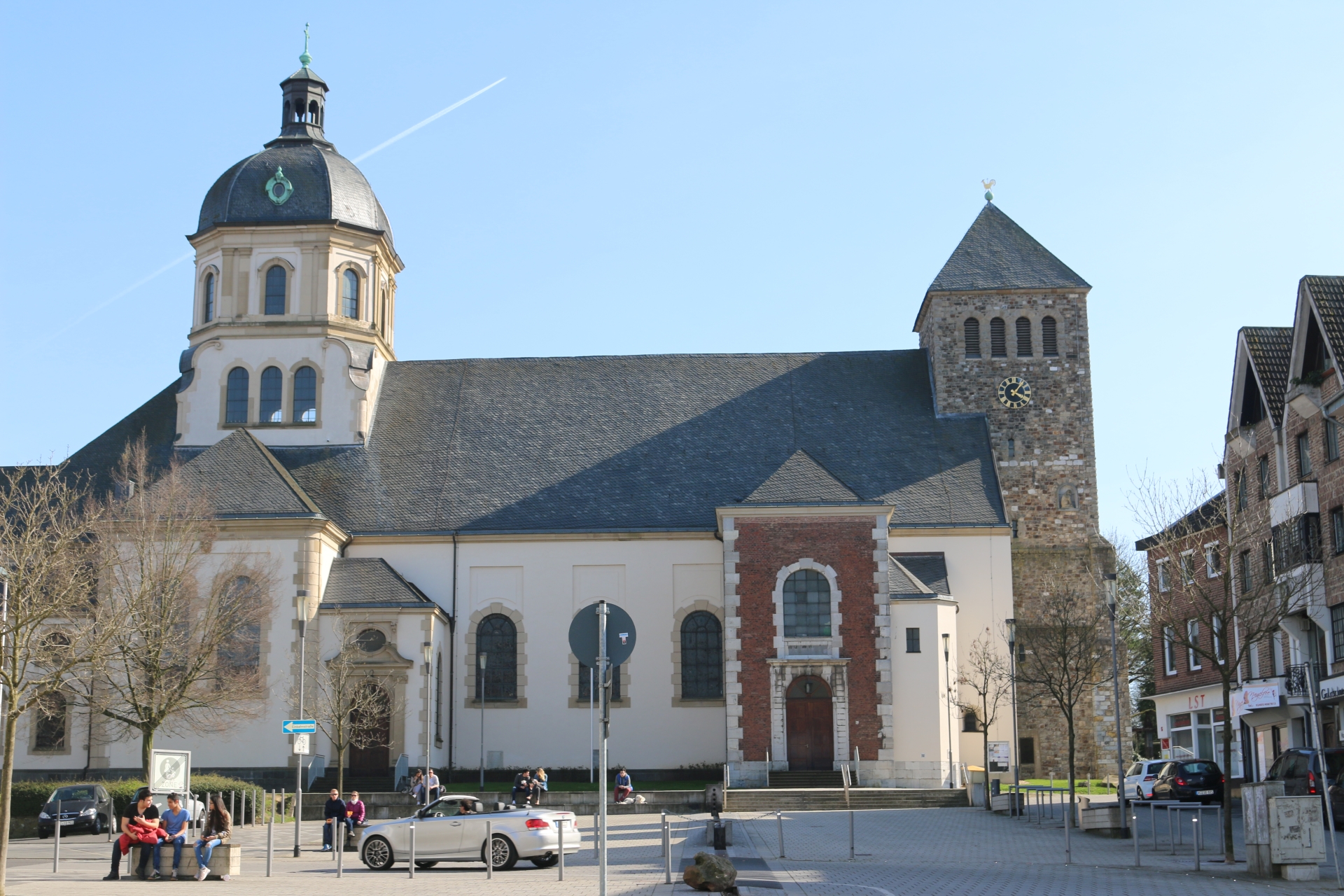
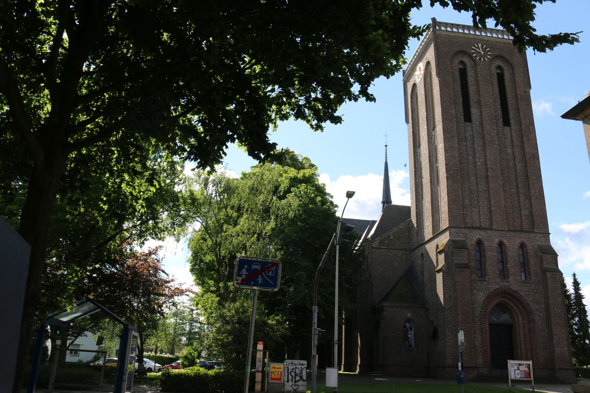
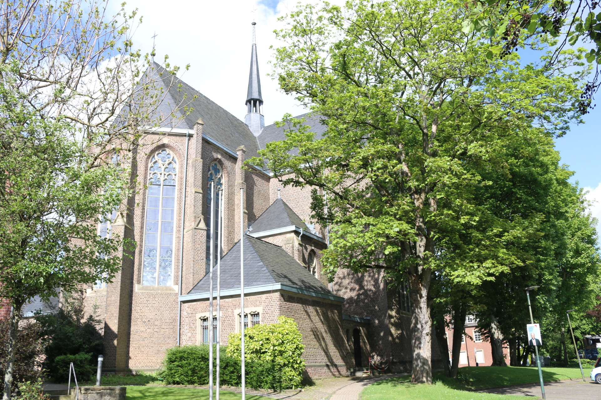
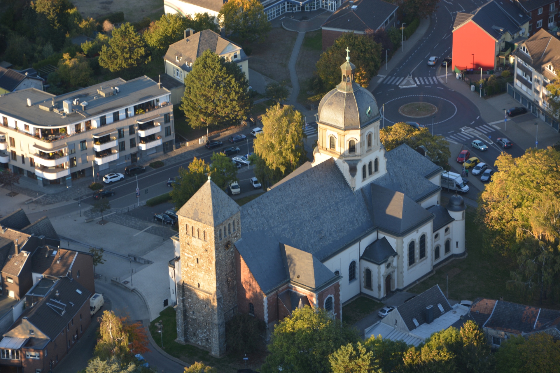
Church St. Sebastian seen from Markt
Category: Church
District: Würselen Zentrum
![]() 6,13316° O 50,81772° N
6,13316° O 50,81772° N
28.02.2017, KWH
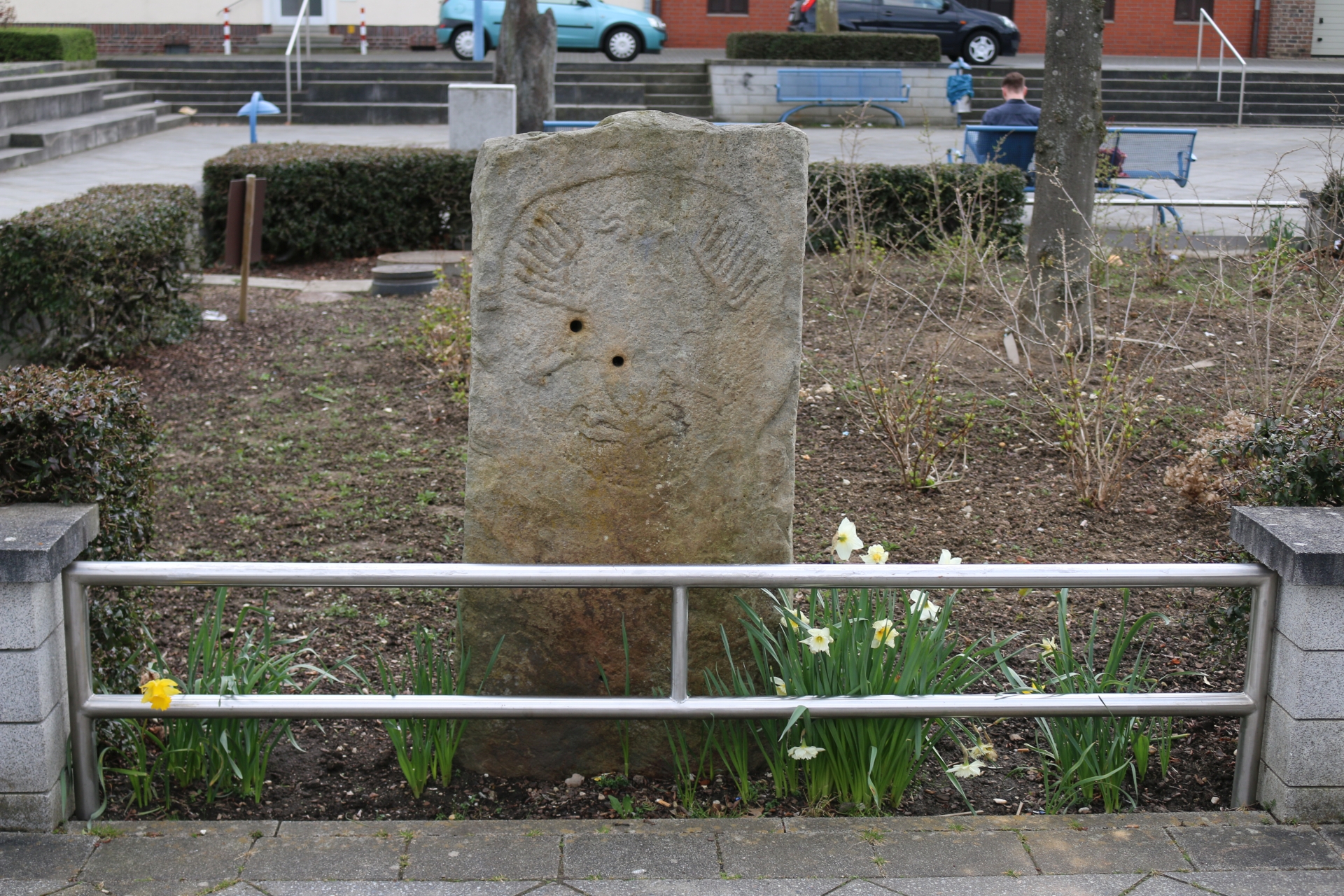
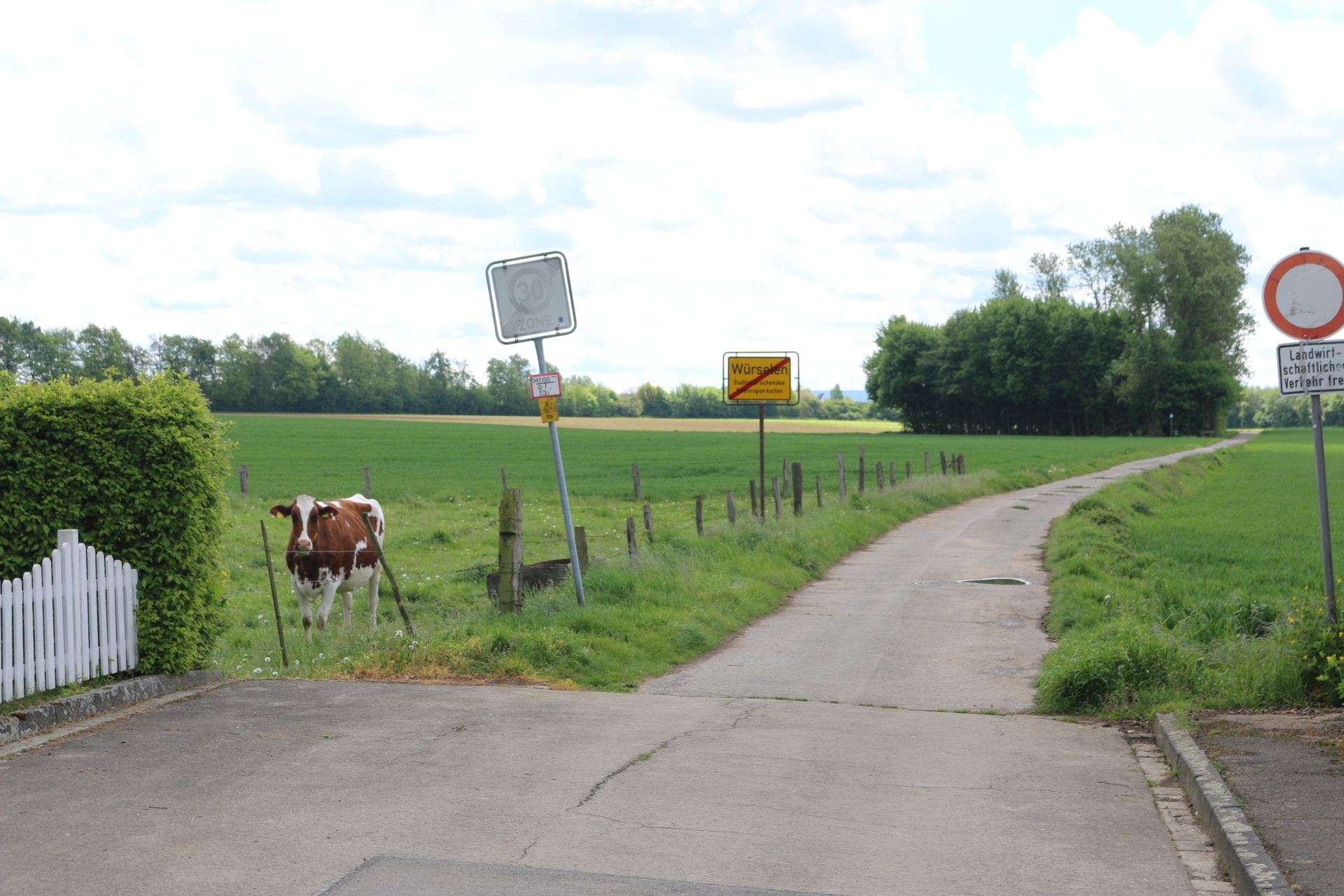
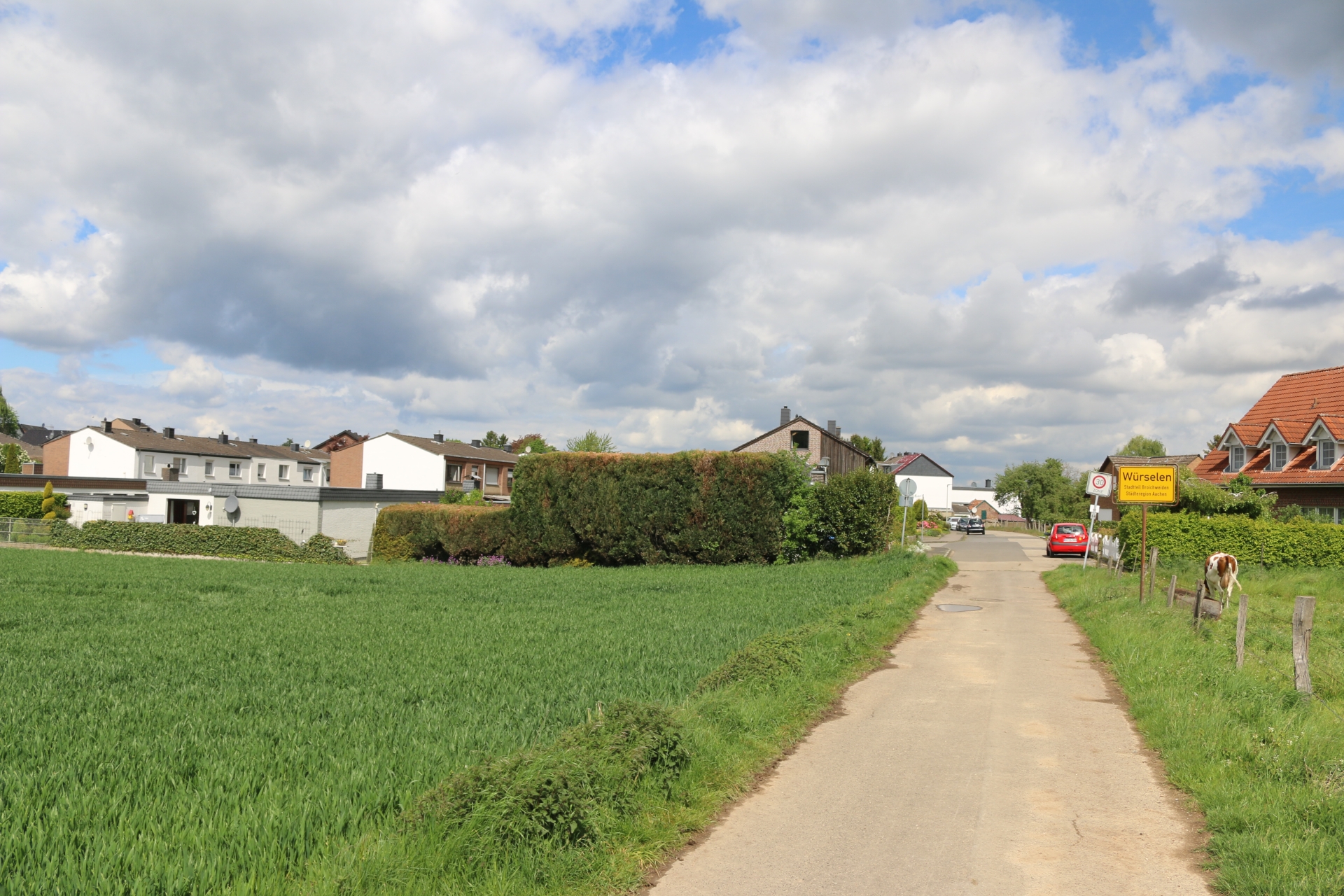
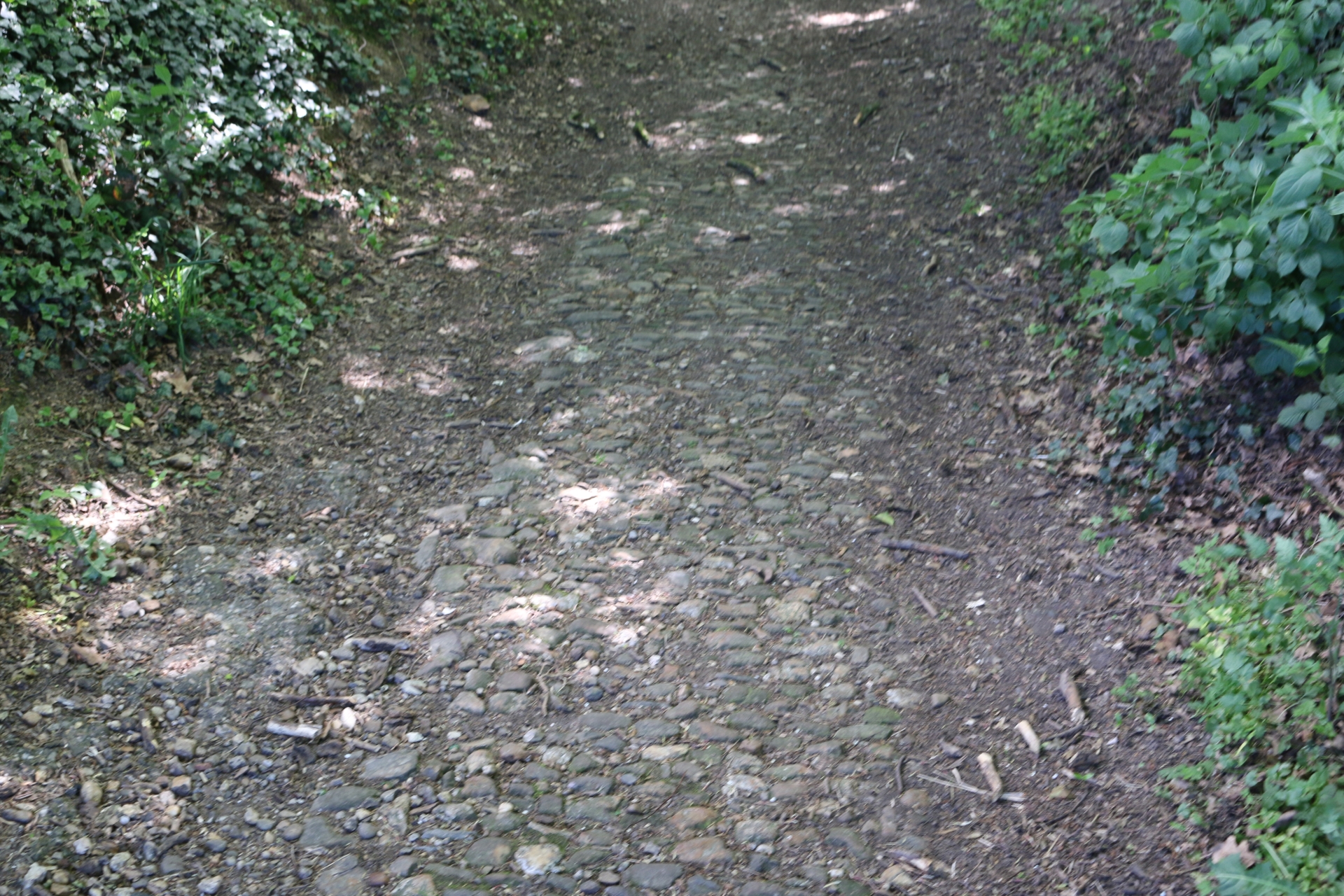
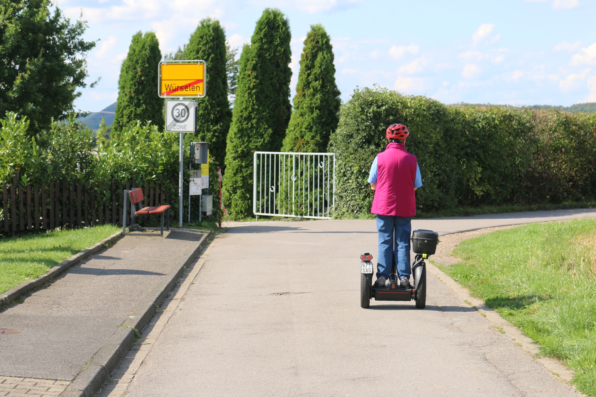
Historic landmark border to the Aachener Reich
Category: Historic
District: Weiden
![]() 6,1657° O 50,82541° N
6,1657° O 50,82541° N
31.03.2017, KWH
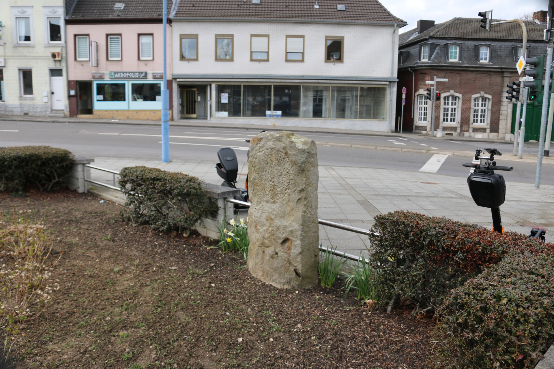
Historic landmark border to the Aachener Reich
Category: Historic
District: Weiden
![]() 6,16569° O 50,82543° N
6,16569° O 50,82543° N
31.03.2017, KWH
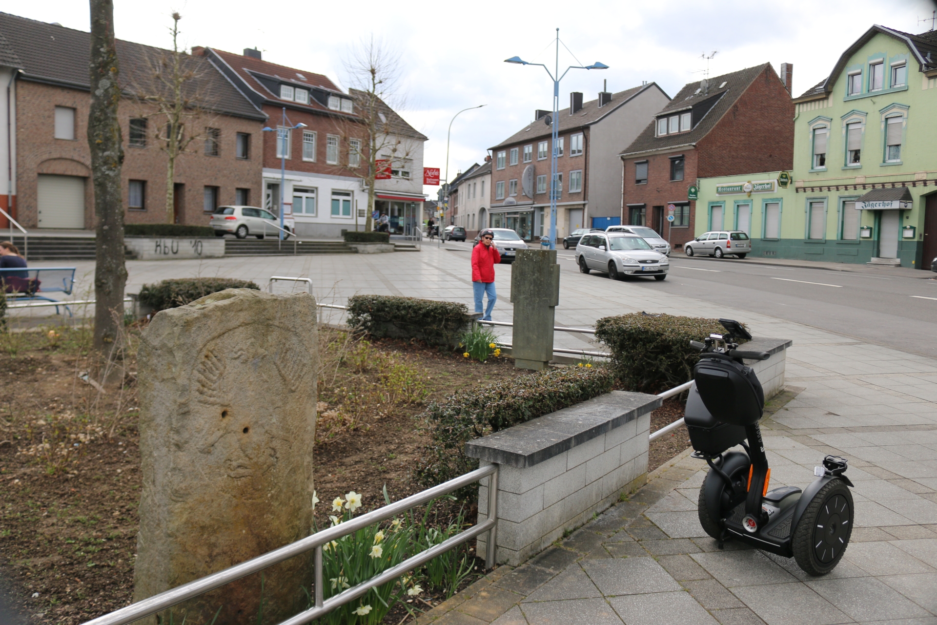
Jodokusplatz viewing direction Weiden
Category: Street
District: Weiden
![]() 6,16565° O 50,82536° N
6,16565° O 50,82536° N
31.03.2017, KWH
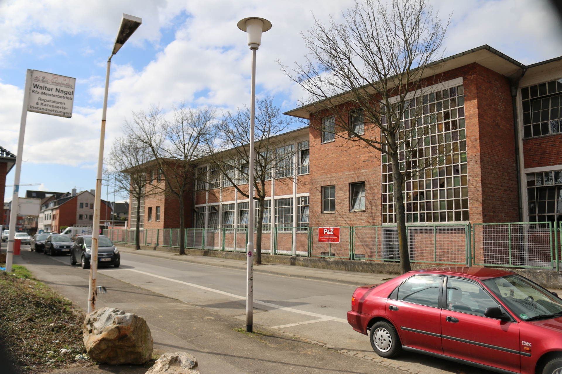
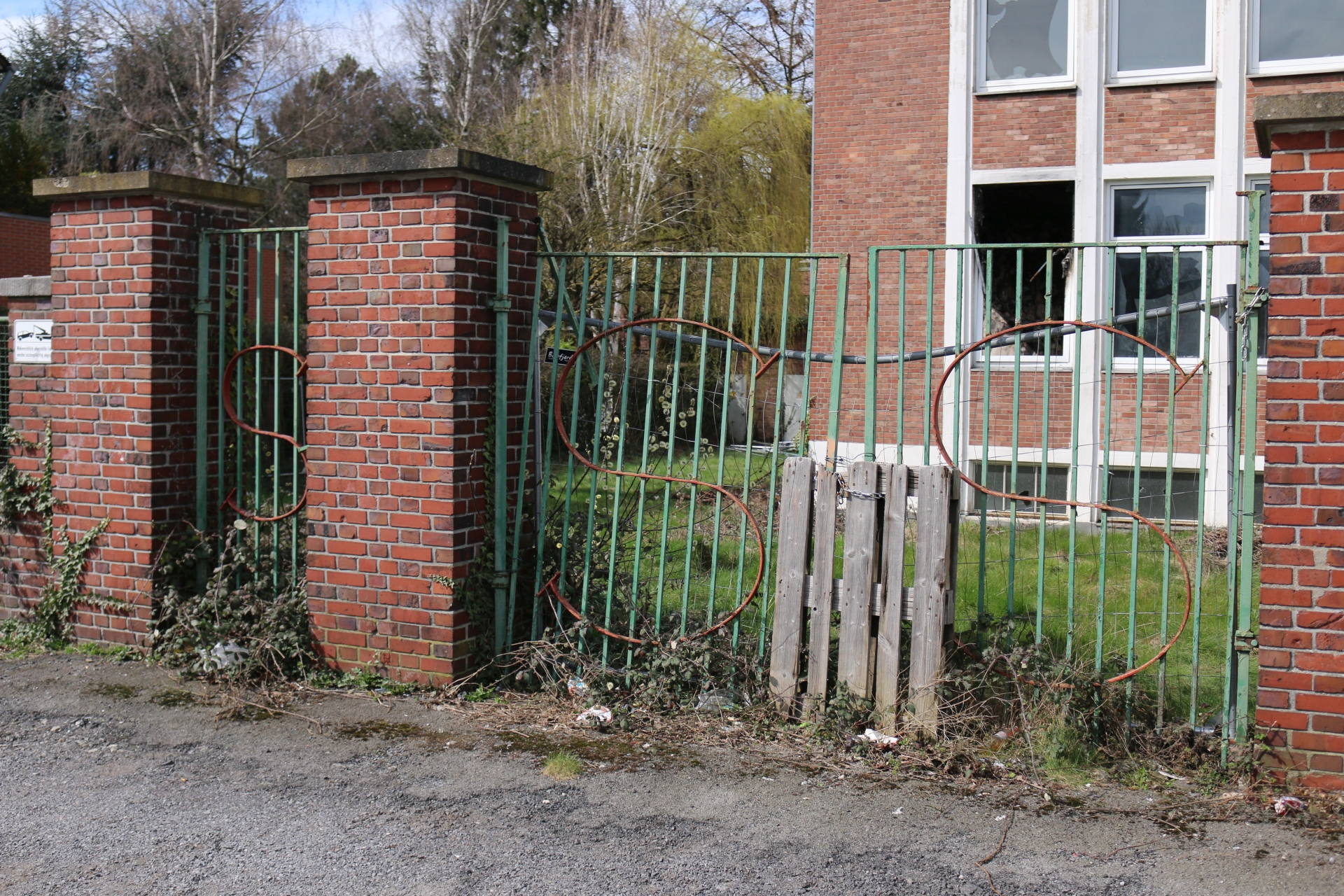
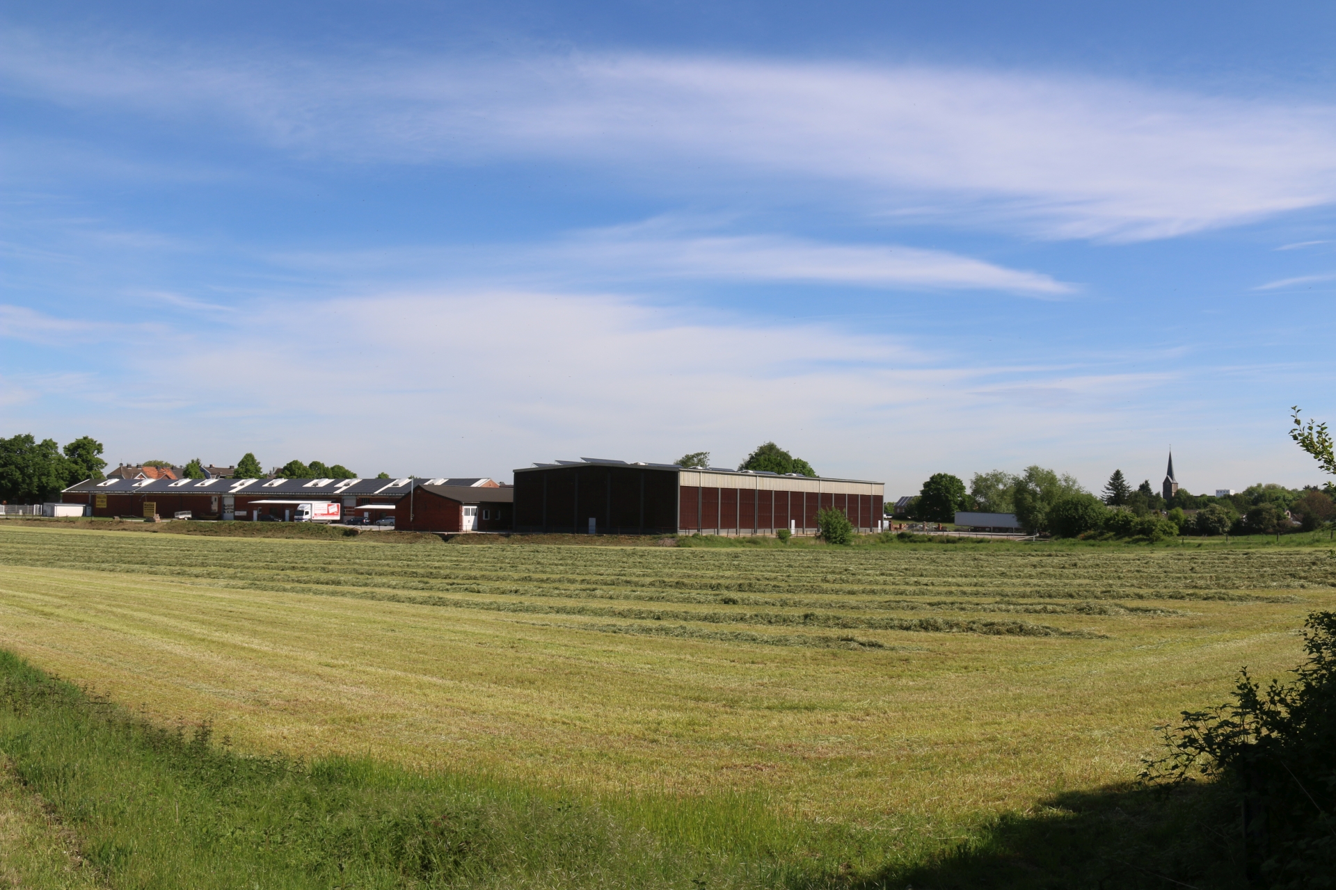
Building of the former Nadelfabrik Singer (needles) before demolition
Category: Business
District: Linden
![]() 6,13272° O 50,82289° N
6,13272° O 50,82289° N
31.03.2017, KWH
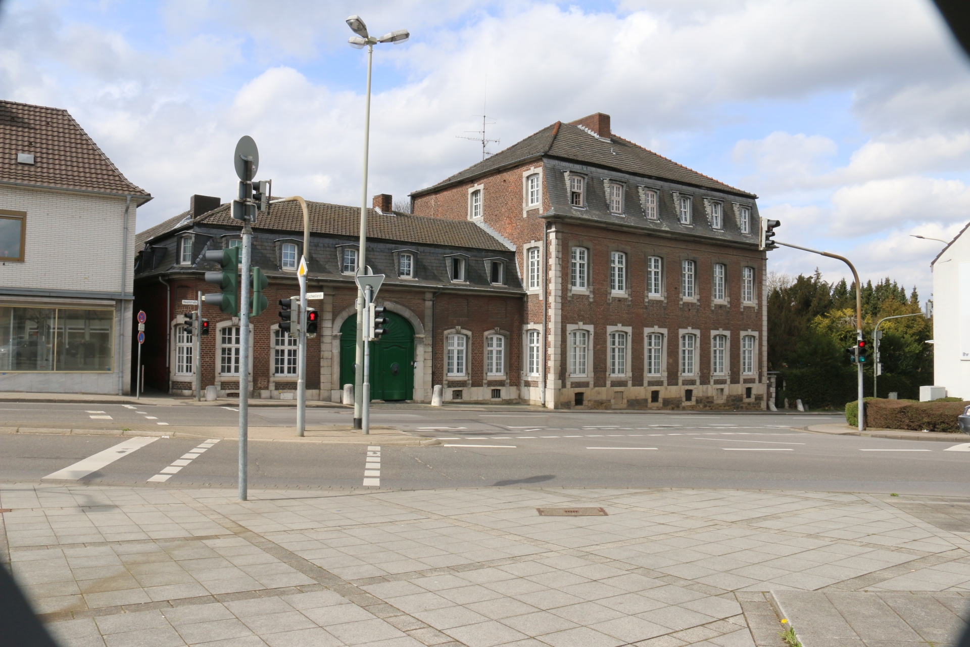
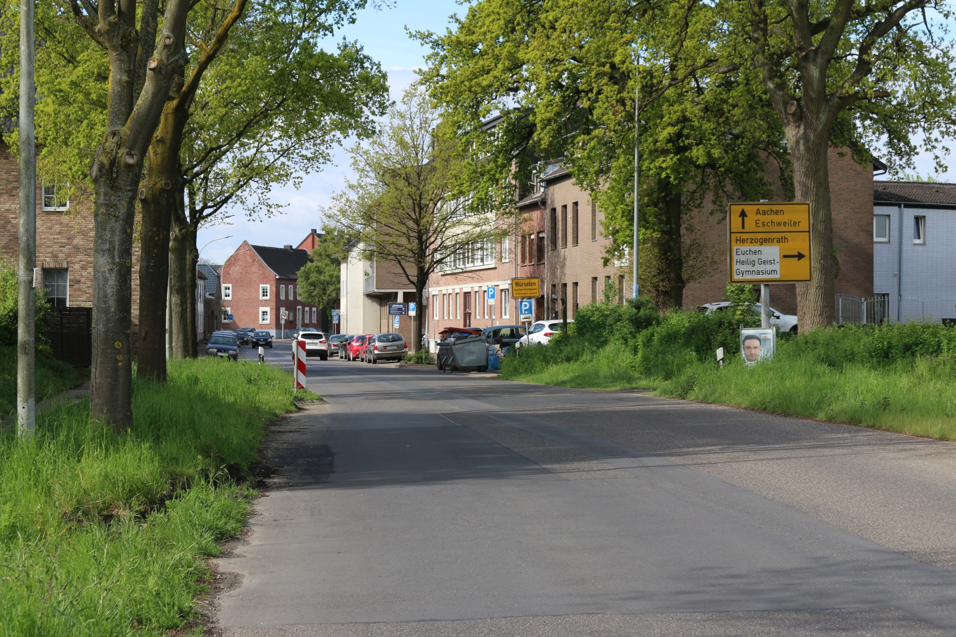
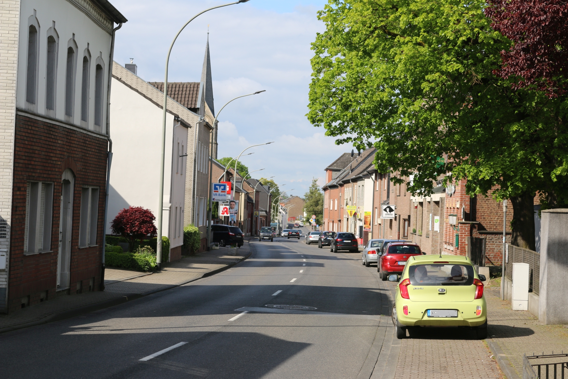
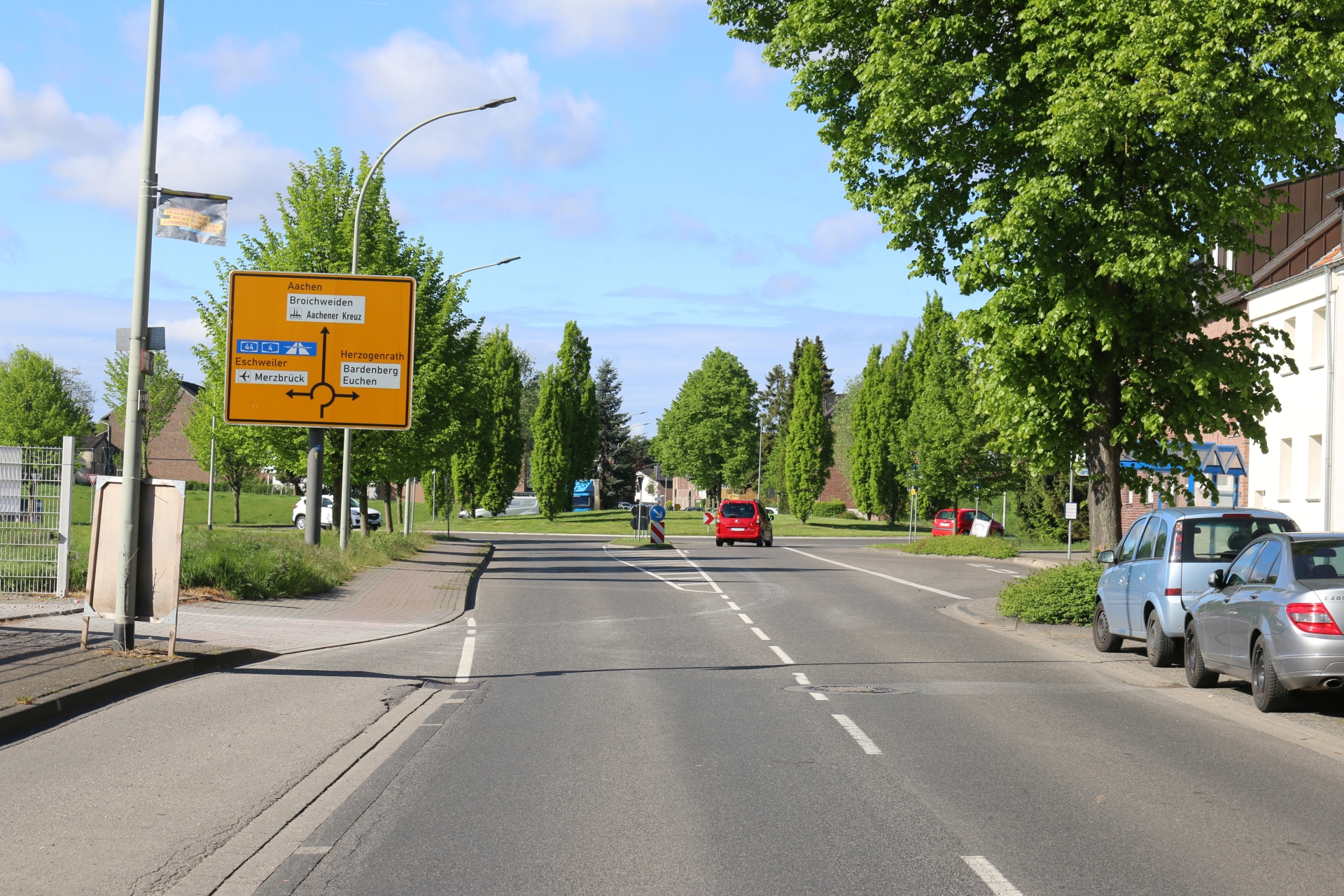
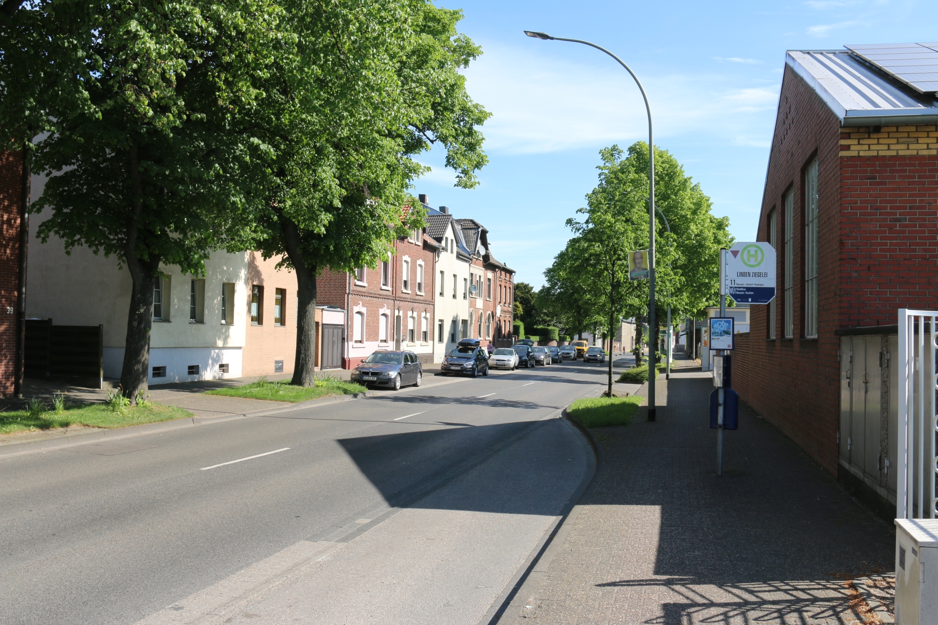
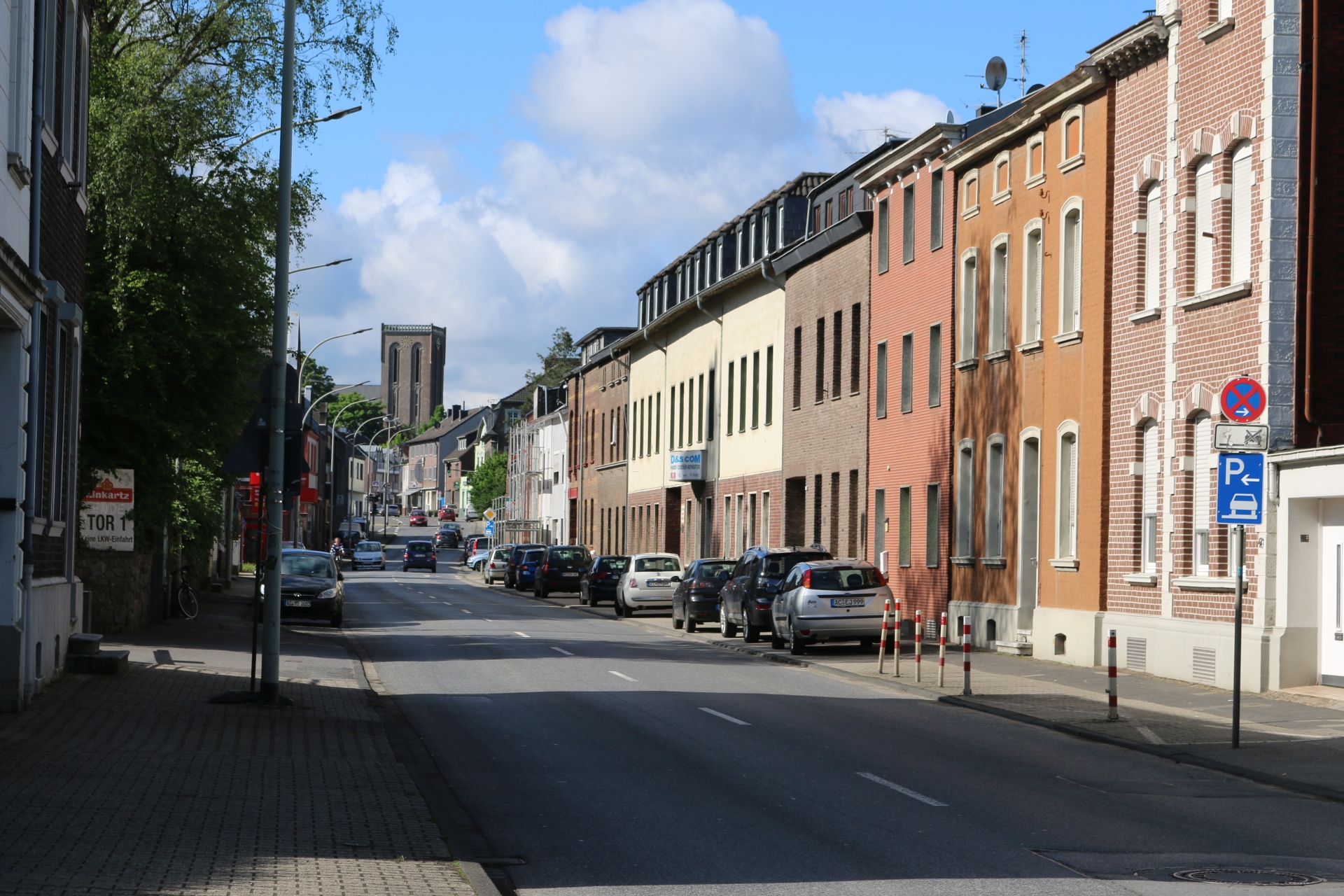
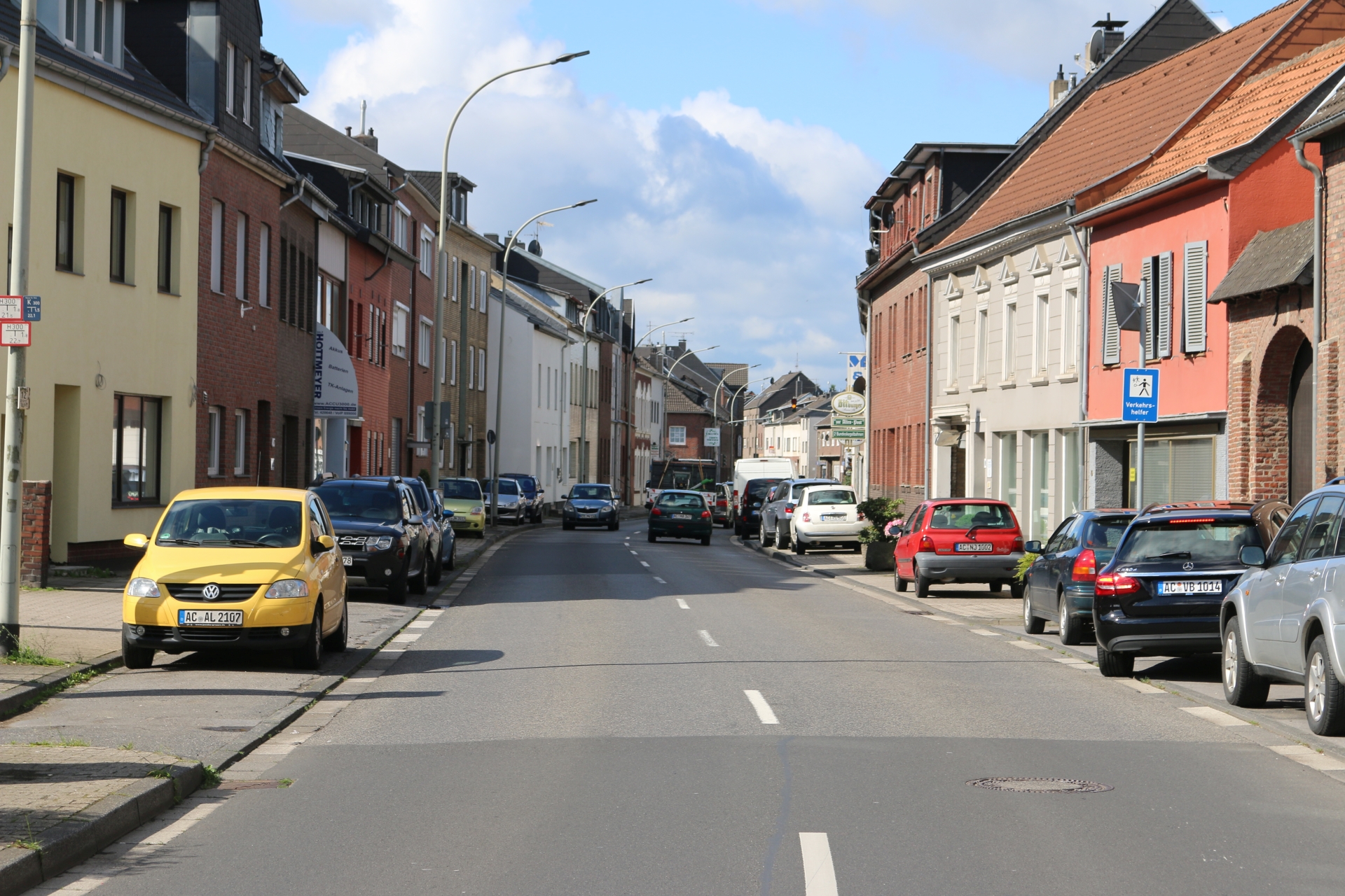
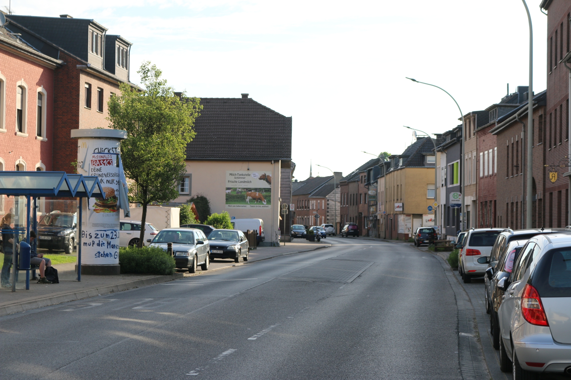
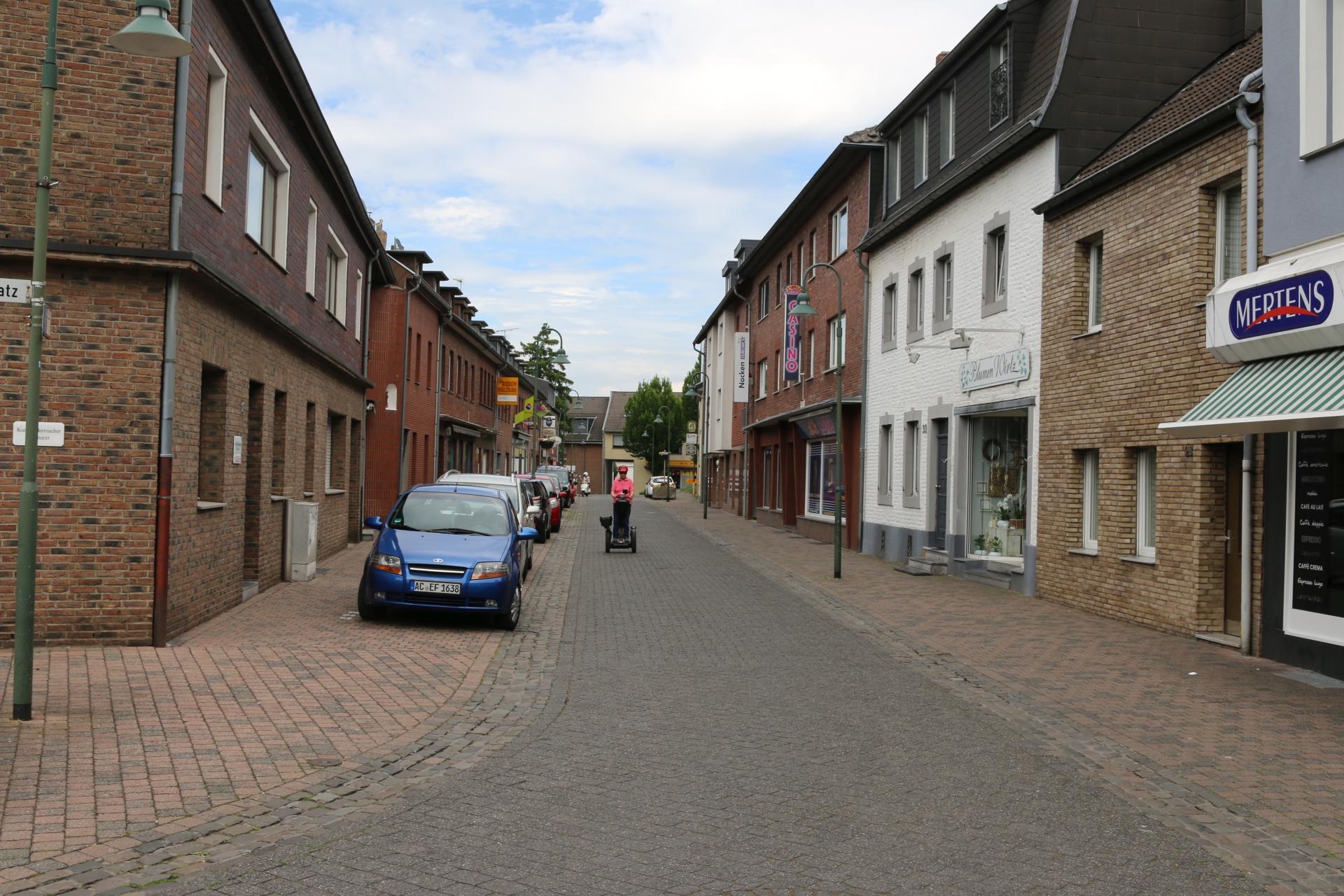
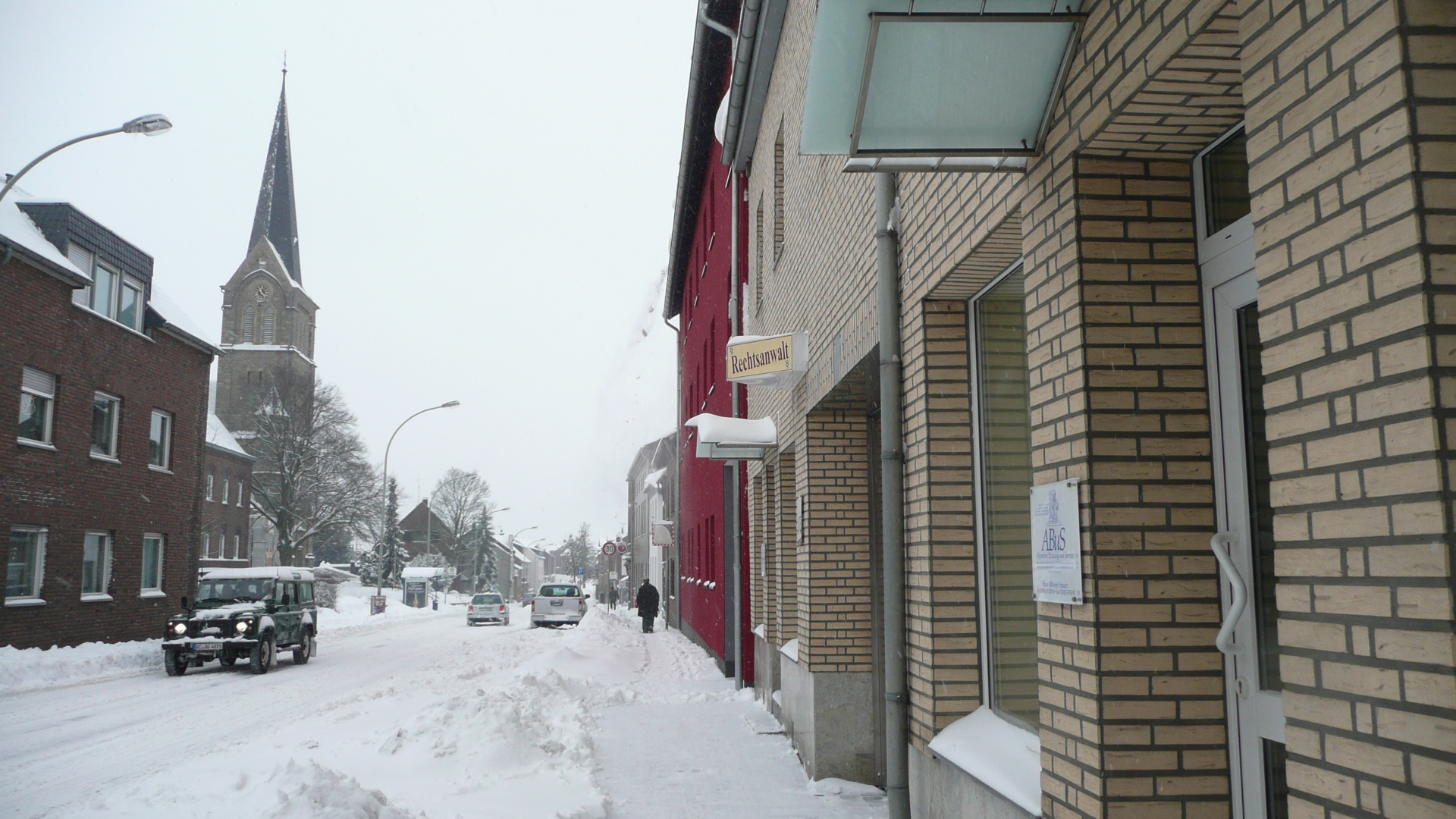
Bahnhofstraße viewing direction Kreuzstraße
Category: Street
District: Würselen Zentrum
![]() 6,1321° O 50,82279° N
6,1321° O 50,82279° N
31.03.2017, KWH
Building of the former Nadelfabrik Singer (needles) before demolition
Category: Business
District: Würselen Zentrum
![]() 6,1319° O 50,82277° N
6,1319° O 50,82277° N
31.03.2017, KWH
Morlaix Square viewing direction Neuhäuser Straße
Category: Street
District: Würselen Zentrum
![]() 6,13023° O 50,81889° N
6,13023° O 50,81889° N
31.03.2017, KWH
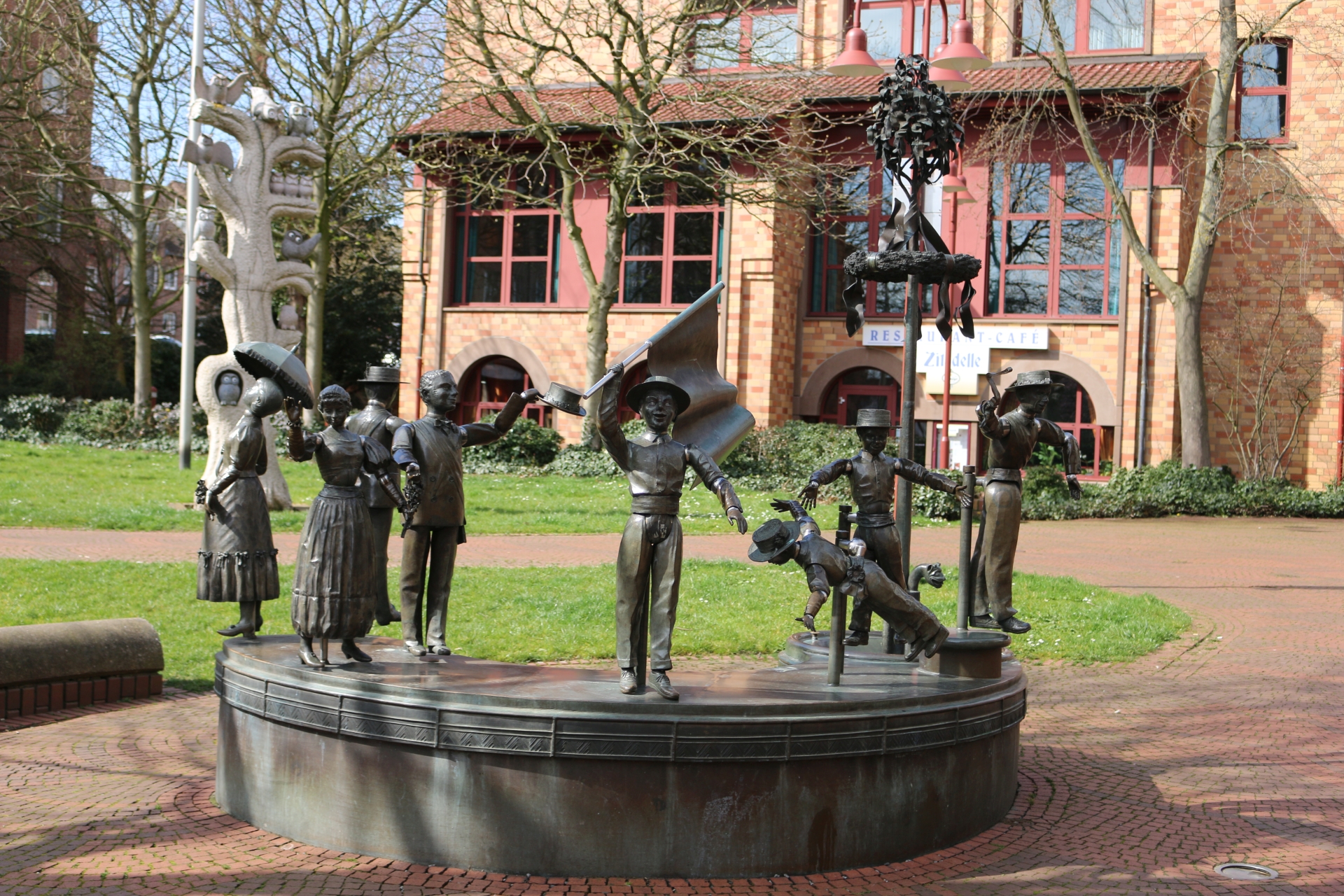
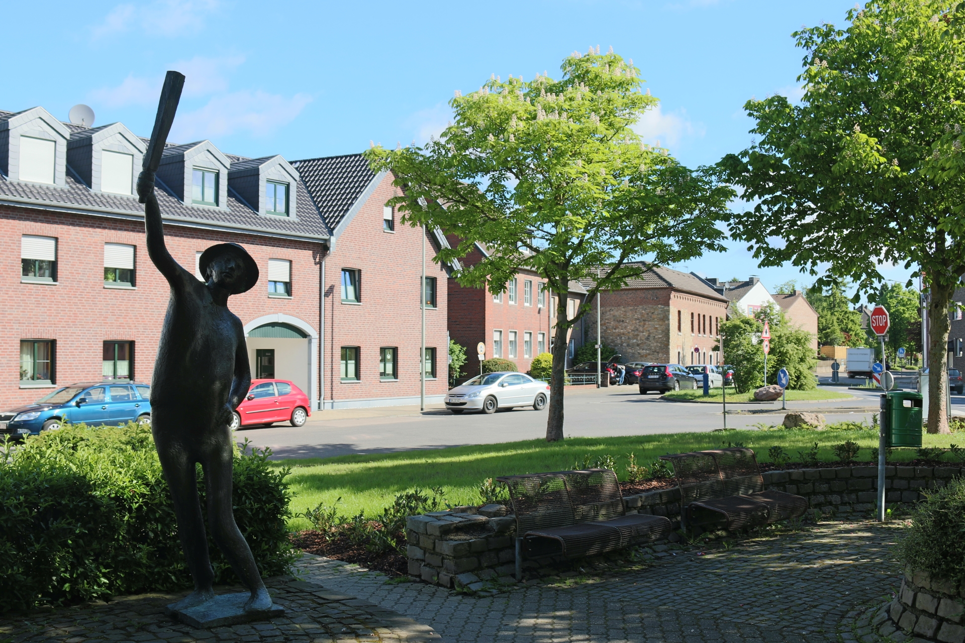
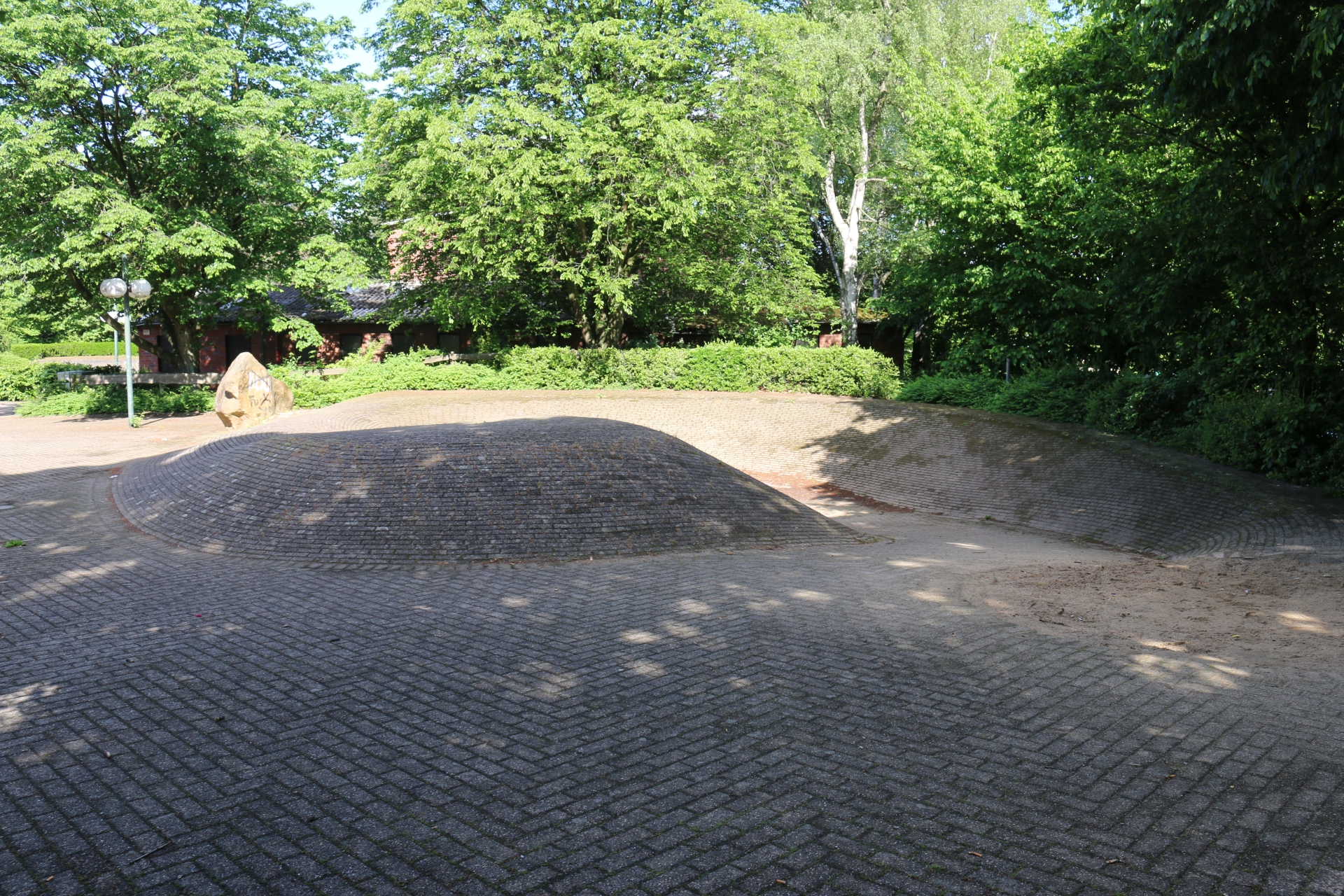
Jungenspiel monument on the Morlaix Sqauare
Category: Monument
District: Würselen Zentrum
![]() 6,1305° O 50,8185° N
6,1305° O 50,8185° N
31.03.2017, KWH
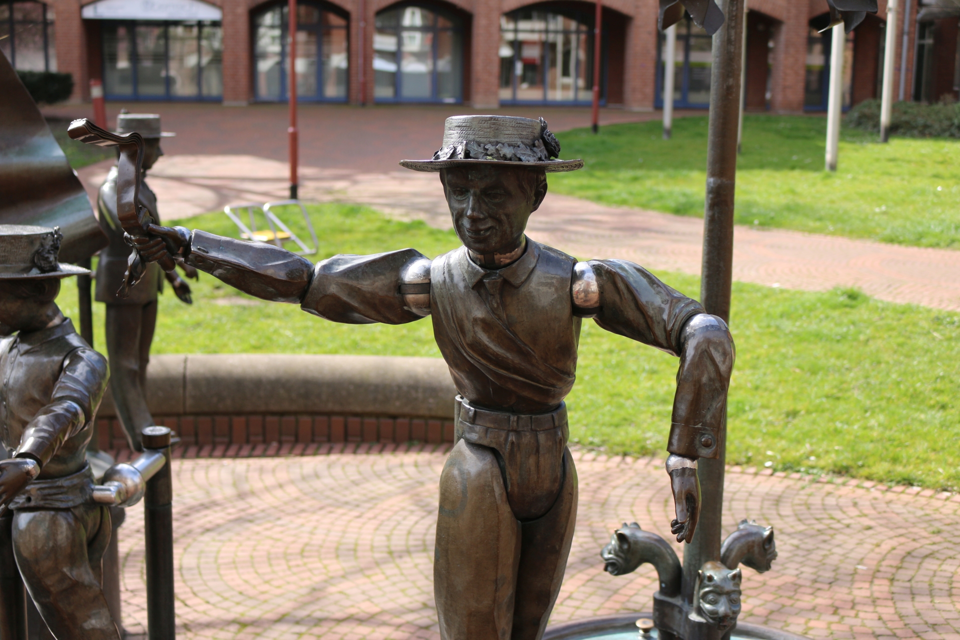
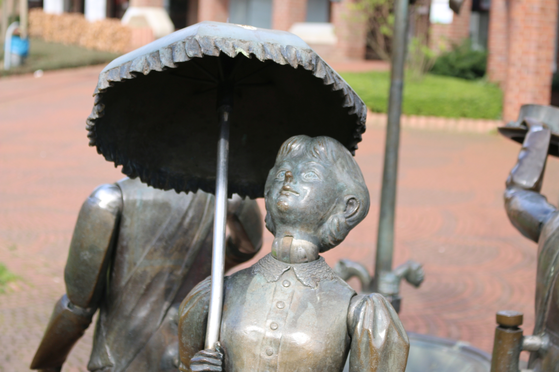
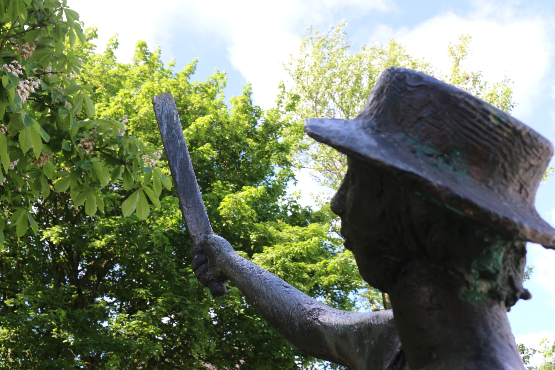
Master of the Slapsticks of the Jungenspiel monument
Category: Monument
District: Würselen Zentrum
![]() 6,1305° O 50,81915° N
6,1305° O 50,81915° N
31.03.2017, KWH
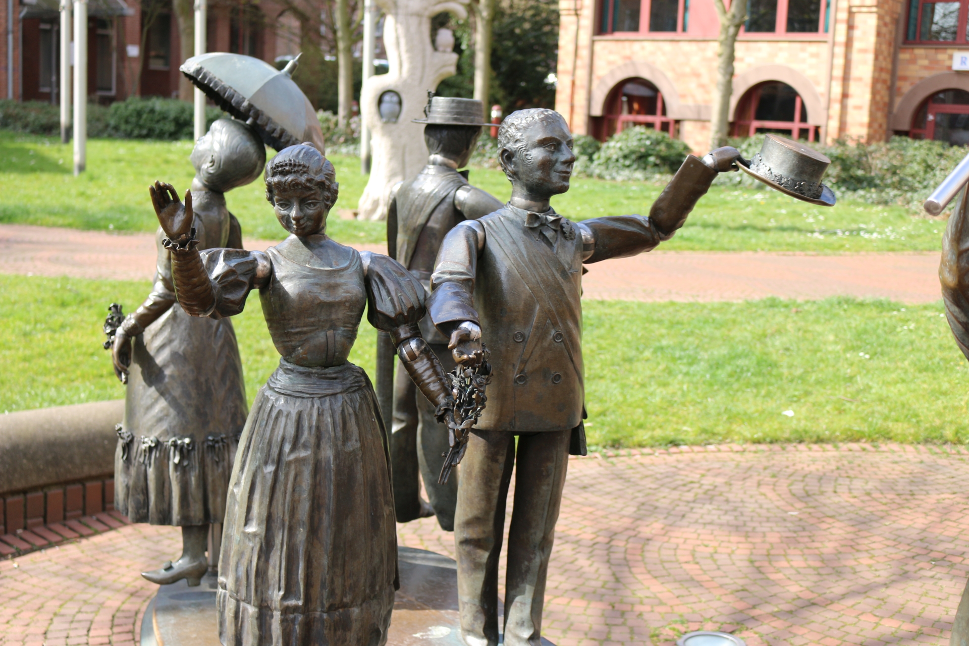
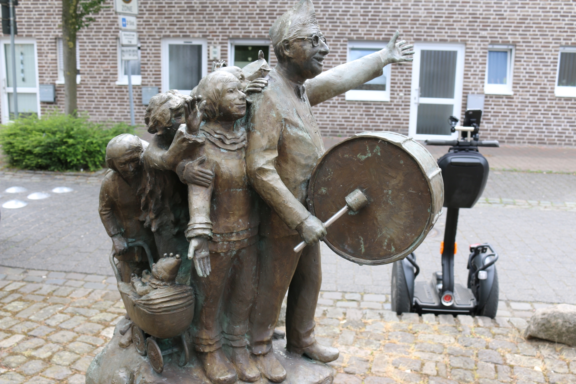
Characters of the Jungenspiel monument
Category: Monument
District: Würselen Zentrum
![]() 6,13055° O 50,81895° N
6,13055° O 50,81895° N
31.03.2017, KWH
Character of the Jungenspiel monument
Category: Monument
District: Würselen Zentrum
![]() 6,13047° O 50,81904° N
6,13047° O 50,81904° N
31.03.2017, KWH
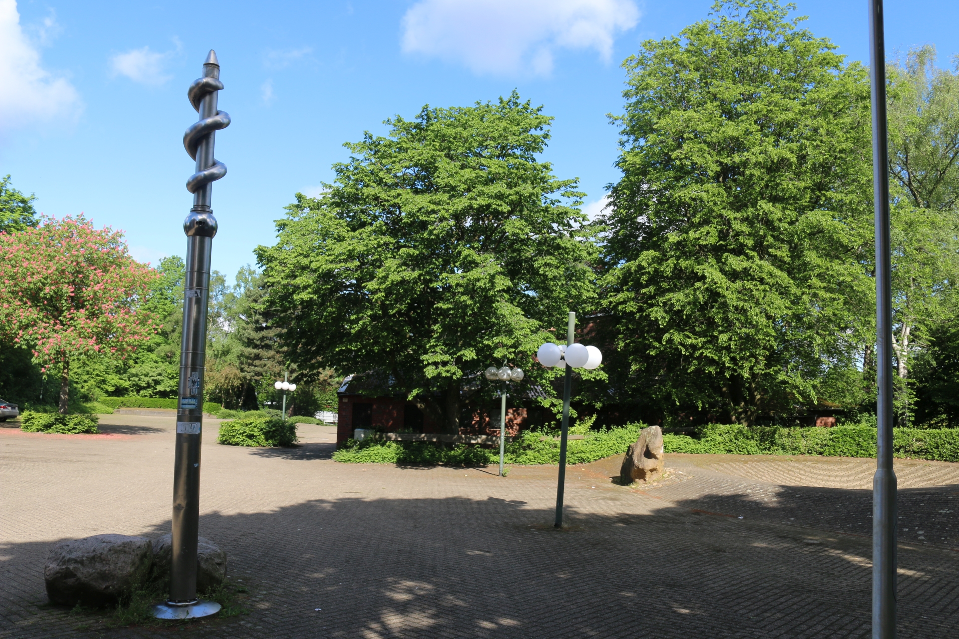
Au Ülle monument (local carnival society)
Category: Monument
District: Würselen Zentrum
![]() 6,13036° O 50,81898° N
6,13036° O 50,81898° N
31.03.2017, KWH
Lower Morlaix Square
Category: Street
District: Würselen Zentrum
![]() 6,13094° O 50,81926° N
6,13094° O 50,81926° N
31.03.2017, KWH
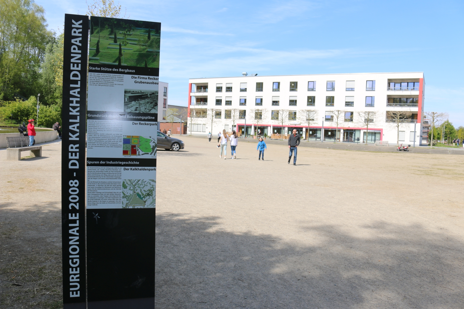
Lime heap park (Kalkhalde) from Elchenrather Straße
Category: Street
District: Elchenrath
![]() 6,13057° O 50,82559° N
6,13057° O 50,82559° N
31.03.2017, KWH
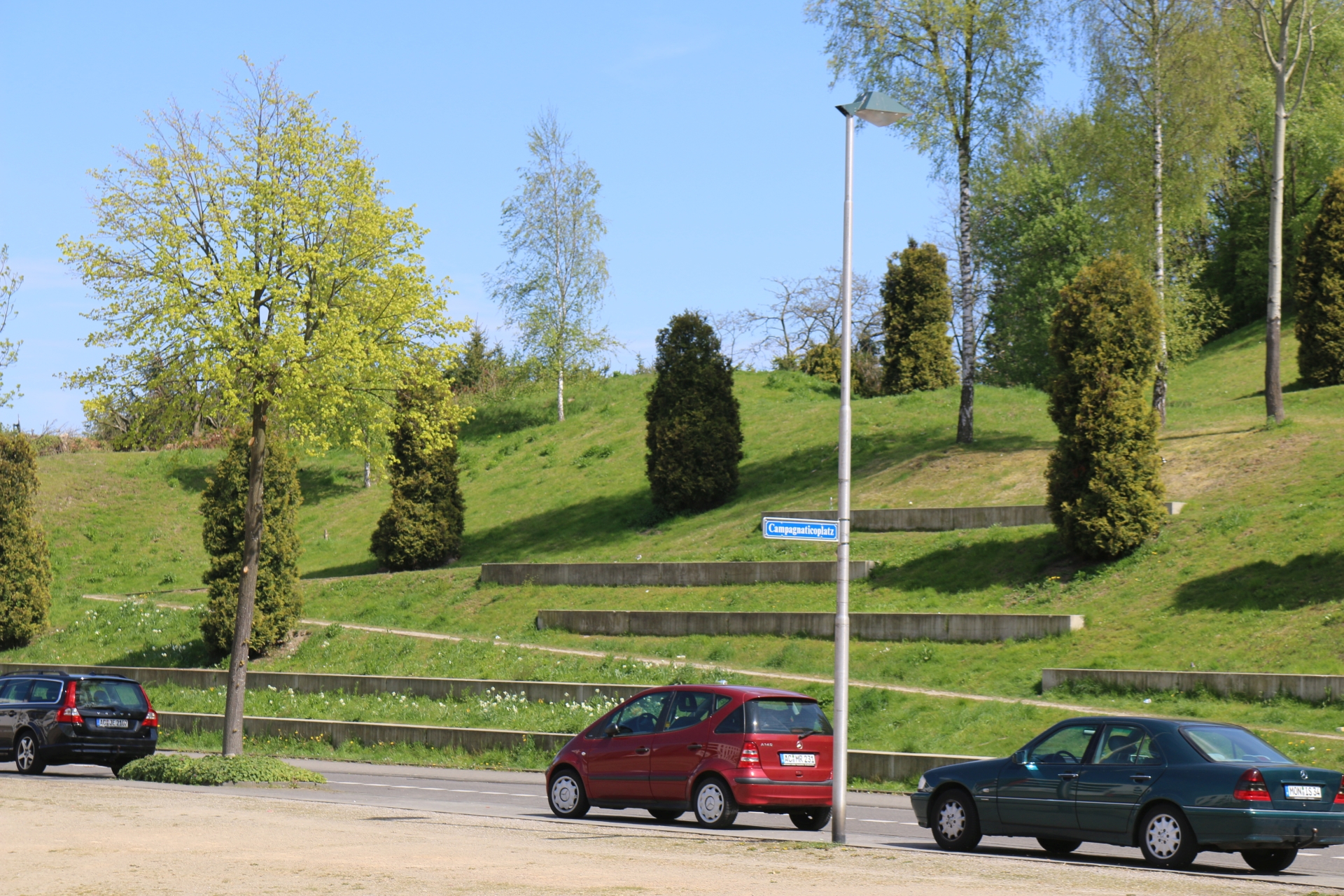
Lime heap park (Kalkhaldepark) from "Triangle Square"
Category: Countryside
District: Elchenrath
![]() 6,1307° O 50,8253° N
6,1307° O 50,8253° N
31.03.2017, KWH
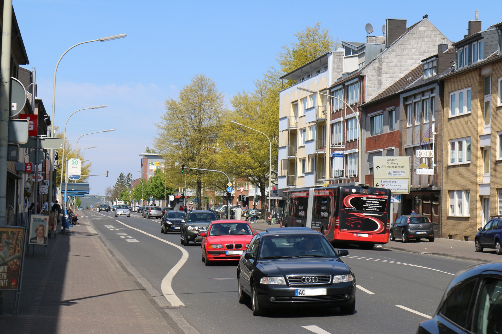
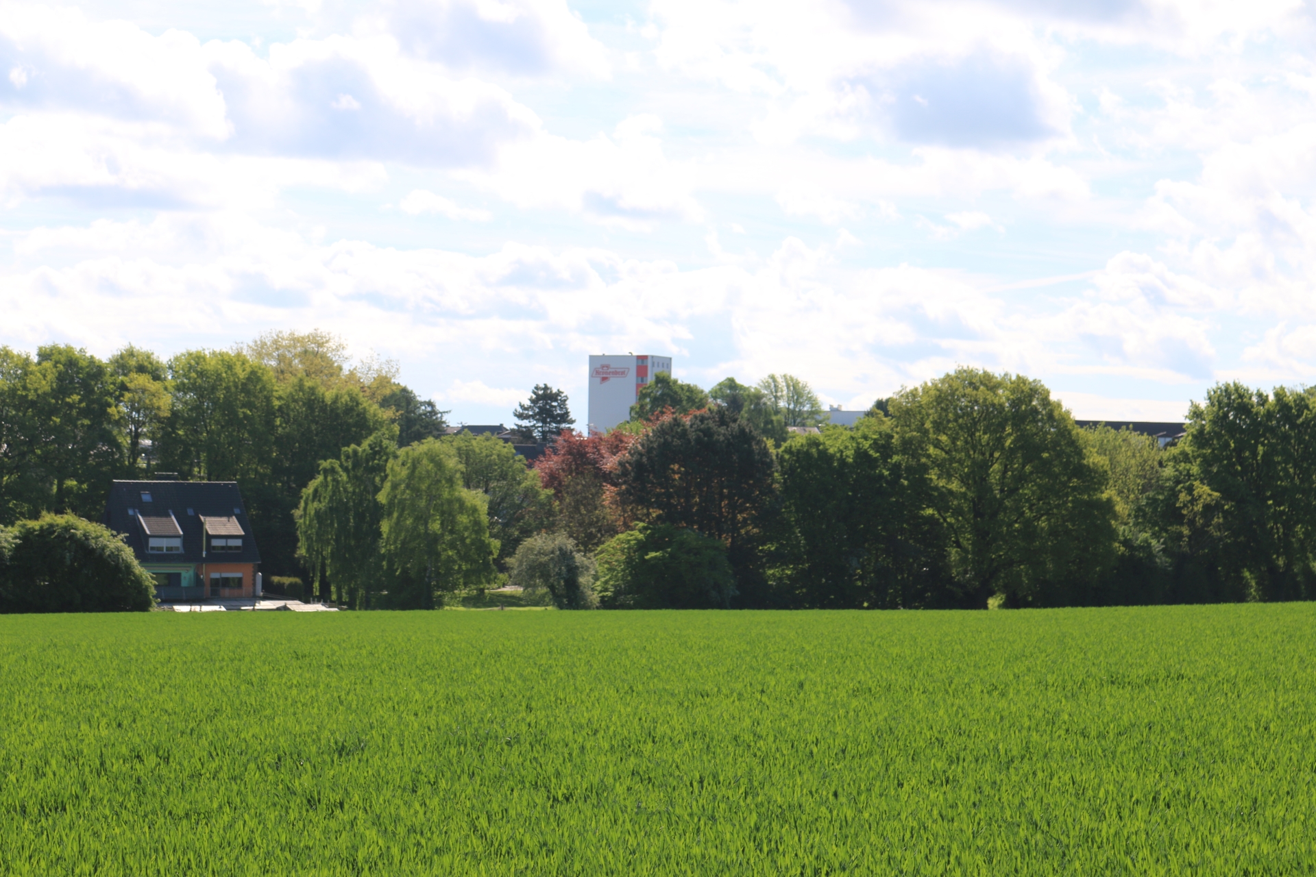
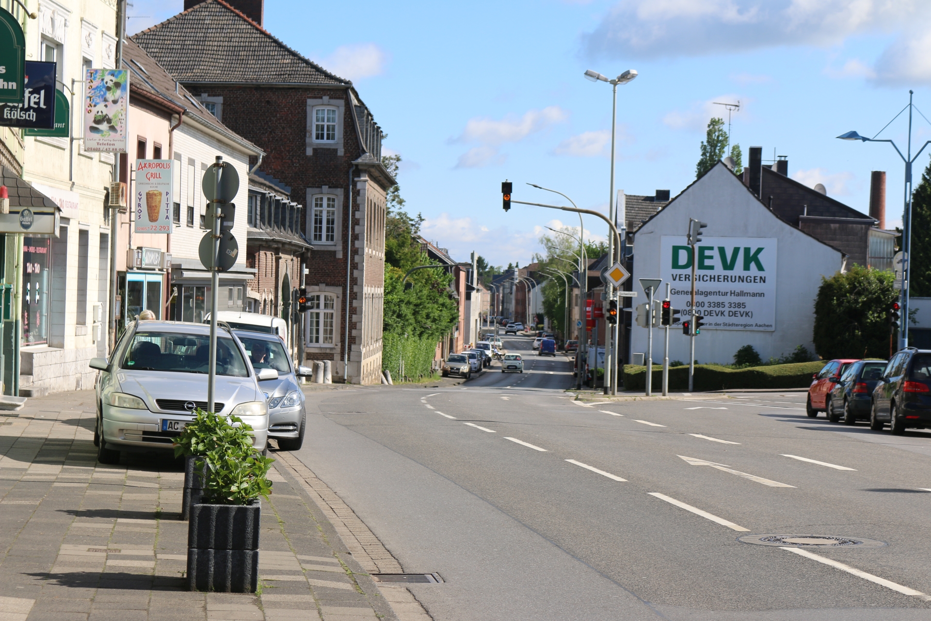
Aachener Straße viewing direction Parkhotel
Category: Street
District: Morsbach
![]() 6,12704° O 50,82388° N
6,12704° O 50,82388° N
31.03.2017, KWH
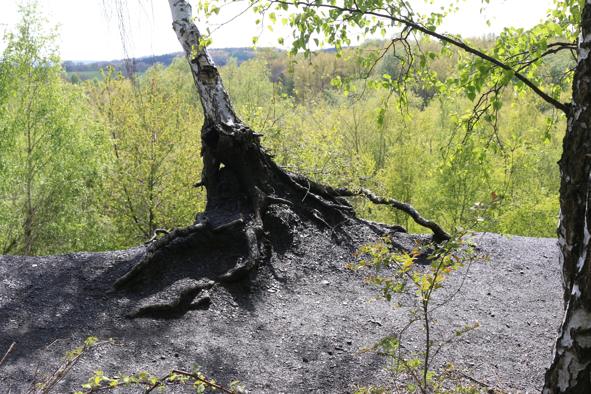
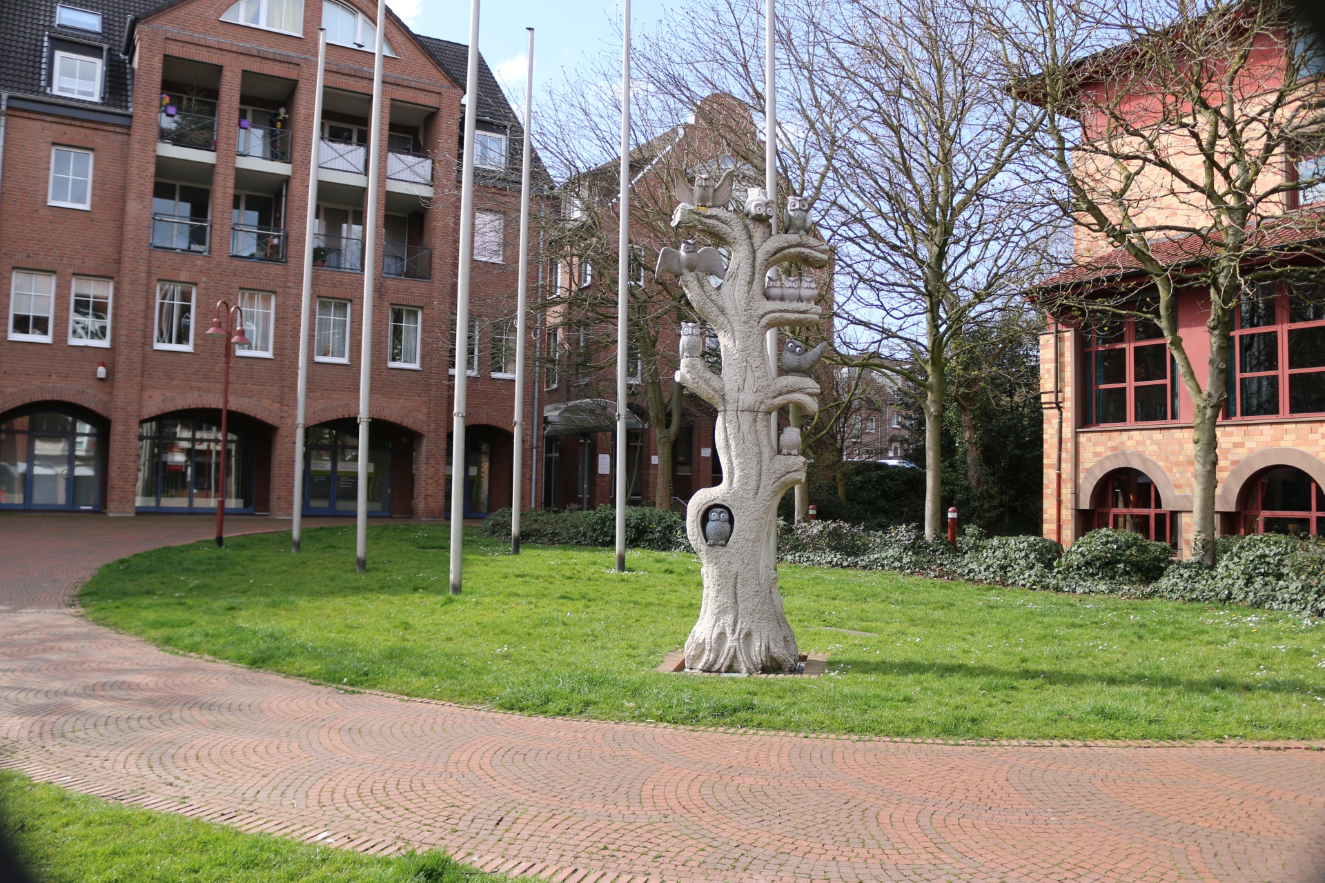
Birch on black mining waste tip "Schwarze Halde"
Category: General
District: Bardenberg
![]() 6,112° O 50,82888° N
6,112° O 50,82888° N
31.03.2017, KWH
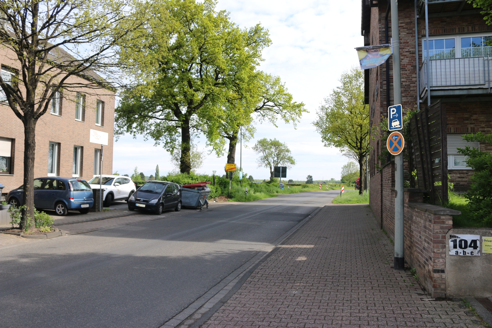
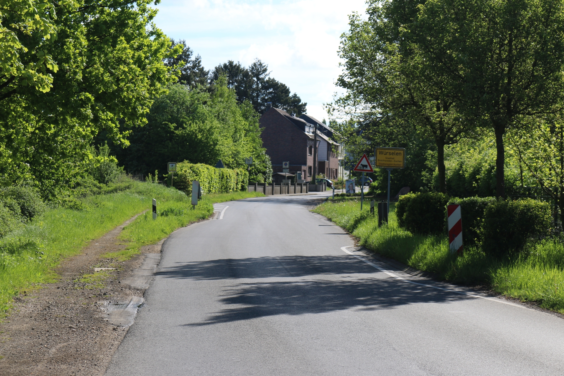
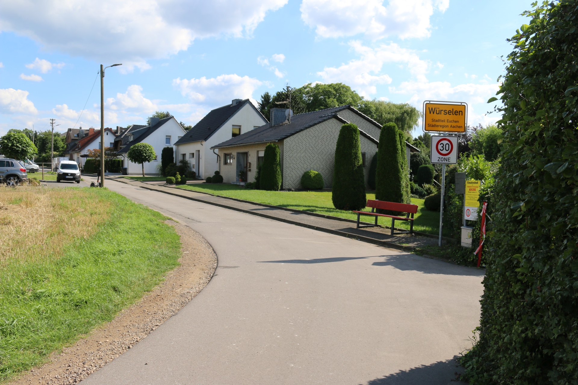
Village entrance Würselen Linden-Neusen - Neusener Straße
Category: Entrance_Exit
District: Neusen
![]() 6,1884° O 50,84241° N
6,1884° O 50,84241° N
30.04.2017, KWH
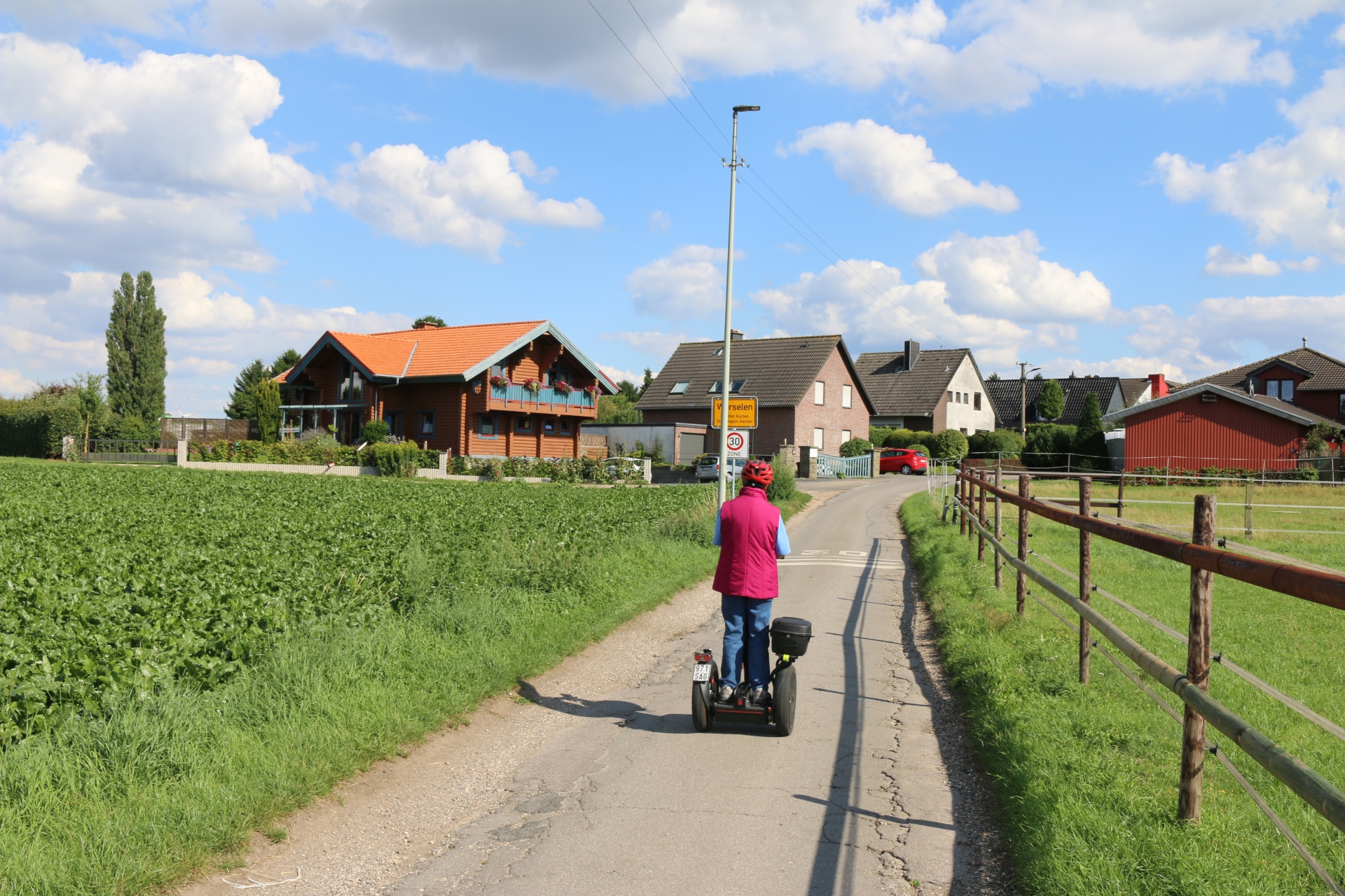
Village exit Würselen Linden-Neusen - Neusener Street
Category: Entrance_Exit
District: Neusen
![]() 6,1866° O 50,84095° N
6,1866° O 50,84095° N
30.04.2017, KWH
Typical building development along Neusener und Lindener Street in Linden-Neusen
Category: Business
District: Neusen
![]() 6,1851° O 50,83981° N
6,1851° O 50,83981° N
30.04.2017, KWH
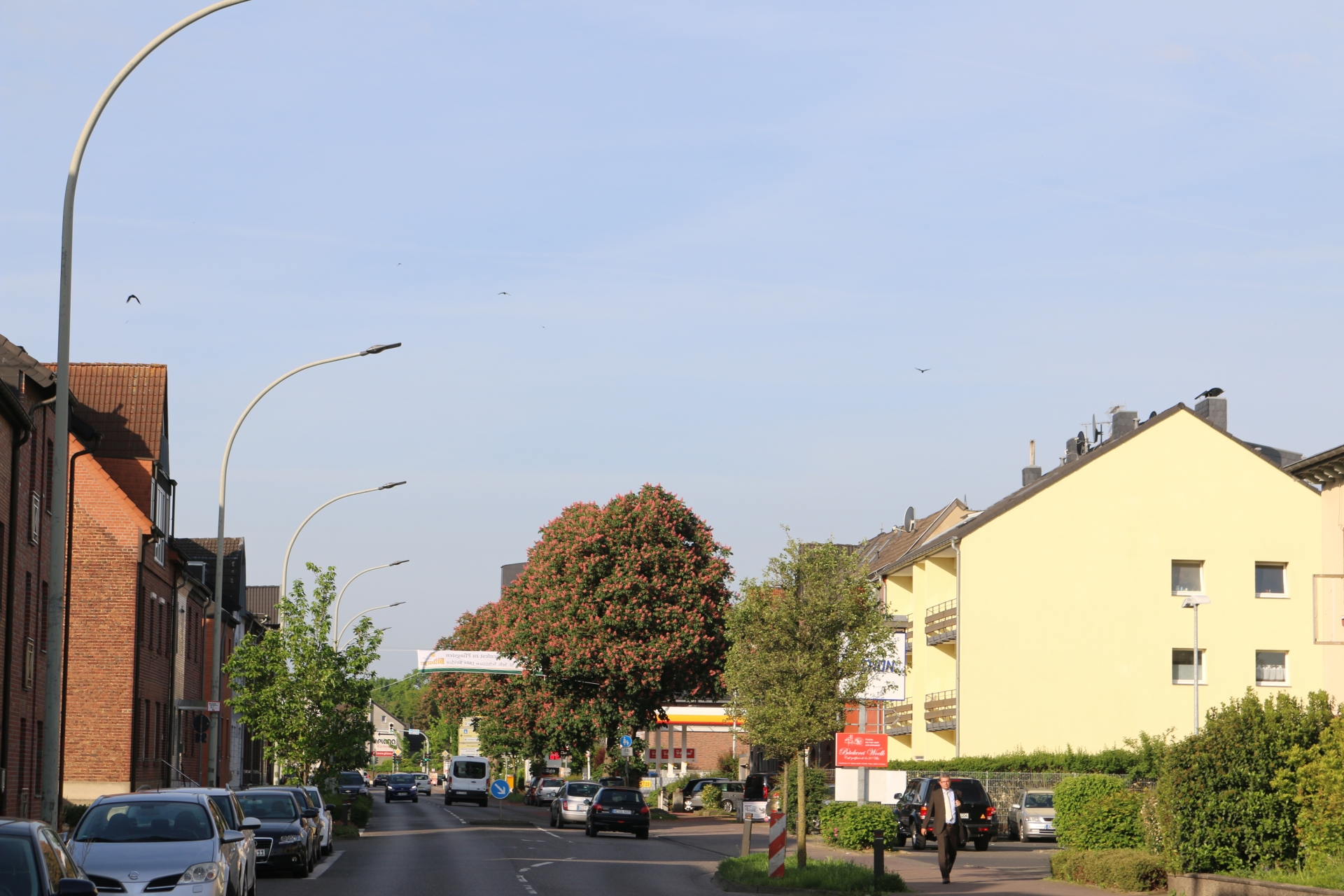
Lindener Straße in Linden viewing direction Weiden
Category: Street
District: Linden
![]() 6,18175° O 50,83843° N
6,18175° O 50,83843° N
30.04.2017, KWH
Village exit Würselen Linden-Neusen - Römerweg
Category: Entrance_Exit
District: Linden
![]() 6,1766° O 50,83412° N
6,1766° O 50,83412° N
30.04.2017, KWH
Village entrance Würselen Linden-Neusen - Römerweg
Category: Entrance_Exit
District: Linden
![]() 6,1769° O 50,83361° N
6,1769° O 50,83361° N
30.04.2017, KWH
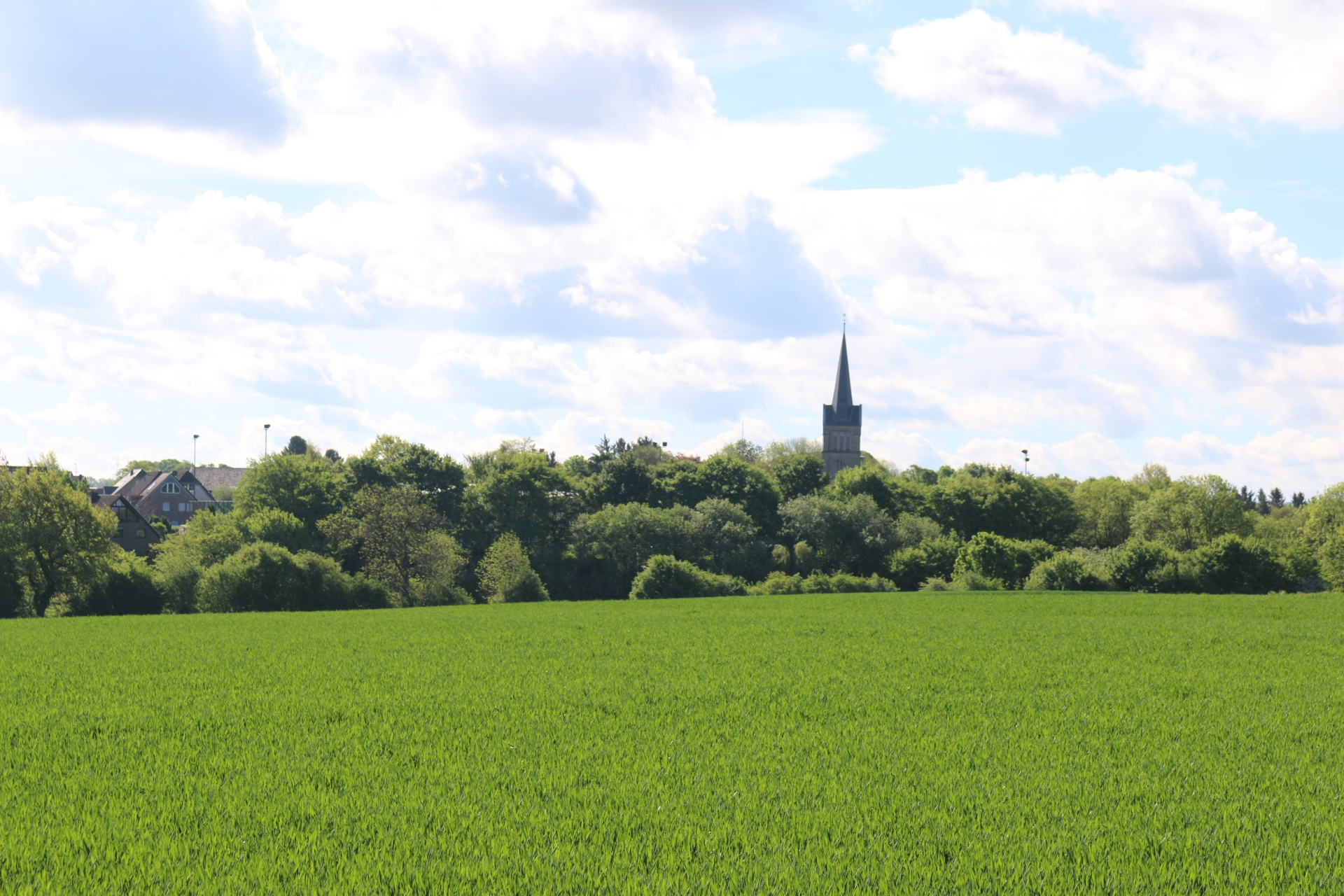
View at St. Nikolaus from Römerweg
Category: Countryside
District: Linden
![]() 6,17632° O 50,83456° N
6,17632° O 50,83456° N
30.04.2017, KWH
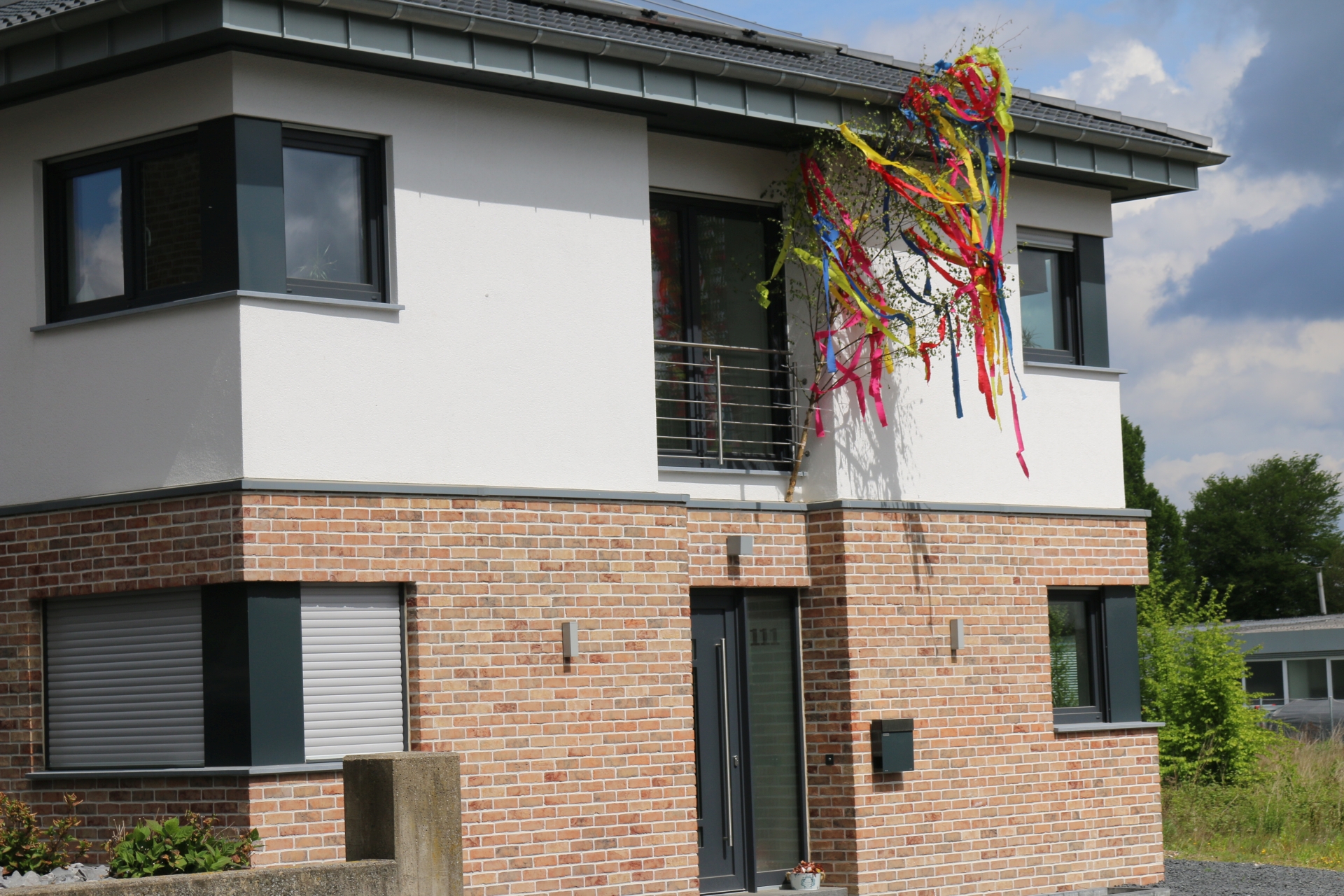
House decorated with "Maibaum" (maypole)
Category: Business
District: Linden
![]() 6,17544° O 50,83585° N
6,17544° O 50,83585° N
30.04.2017, KWH
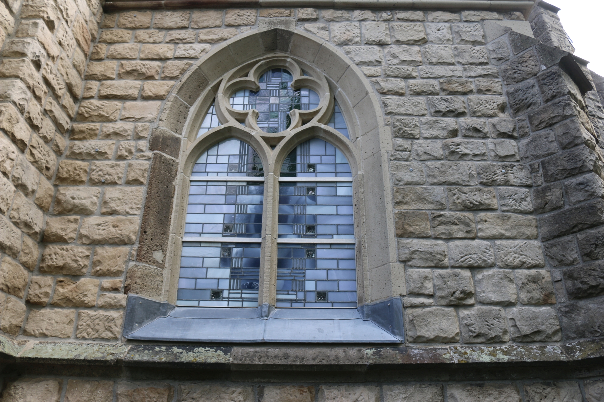
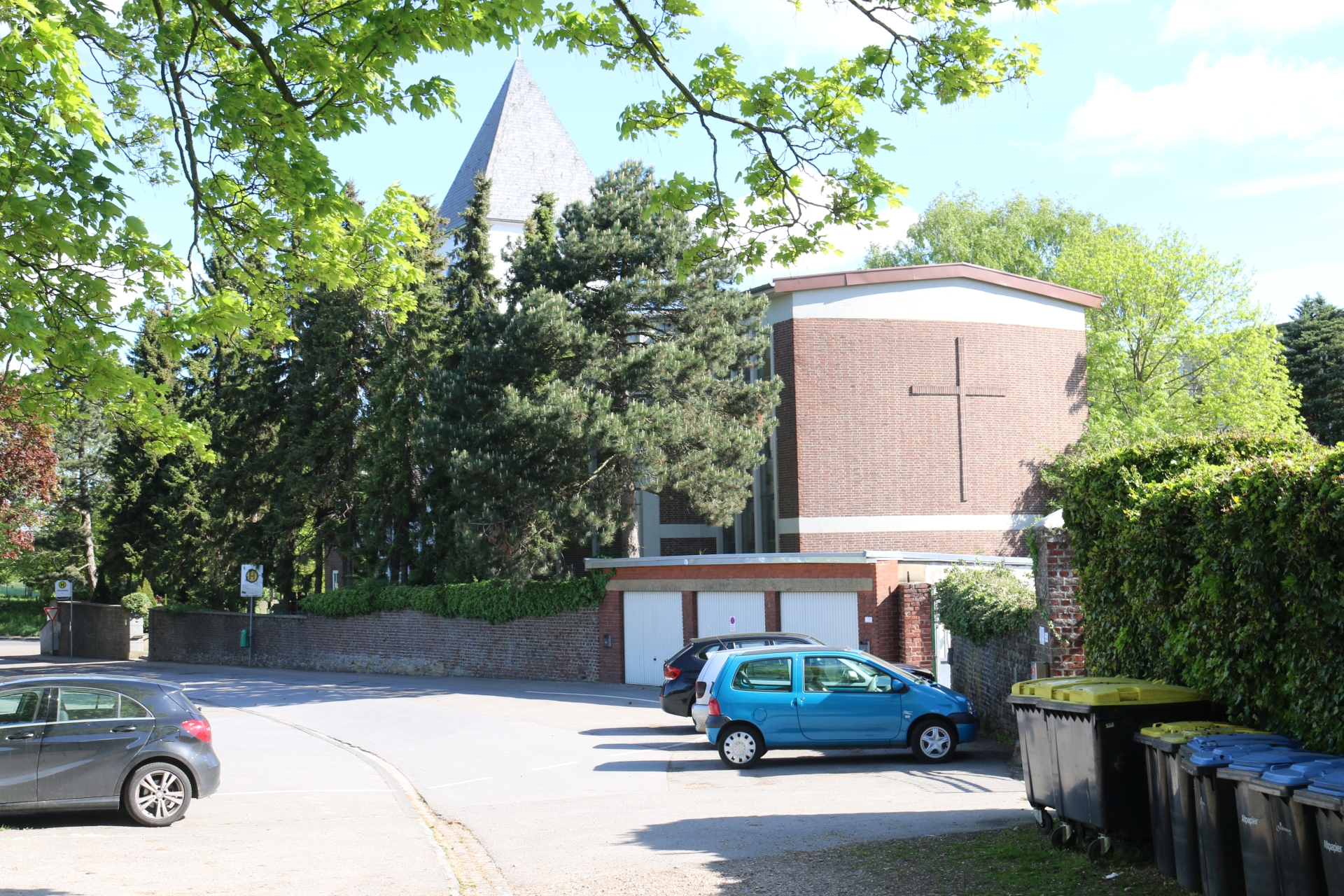
Window of St. Nikolaus in Linden-Neusen
Category: Church
District: Linden
![]() 6,17805° O 50,83637° N
6,17805° O 50,83637° N
30.04.2017, KWH
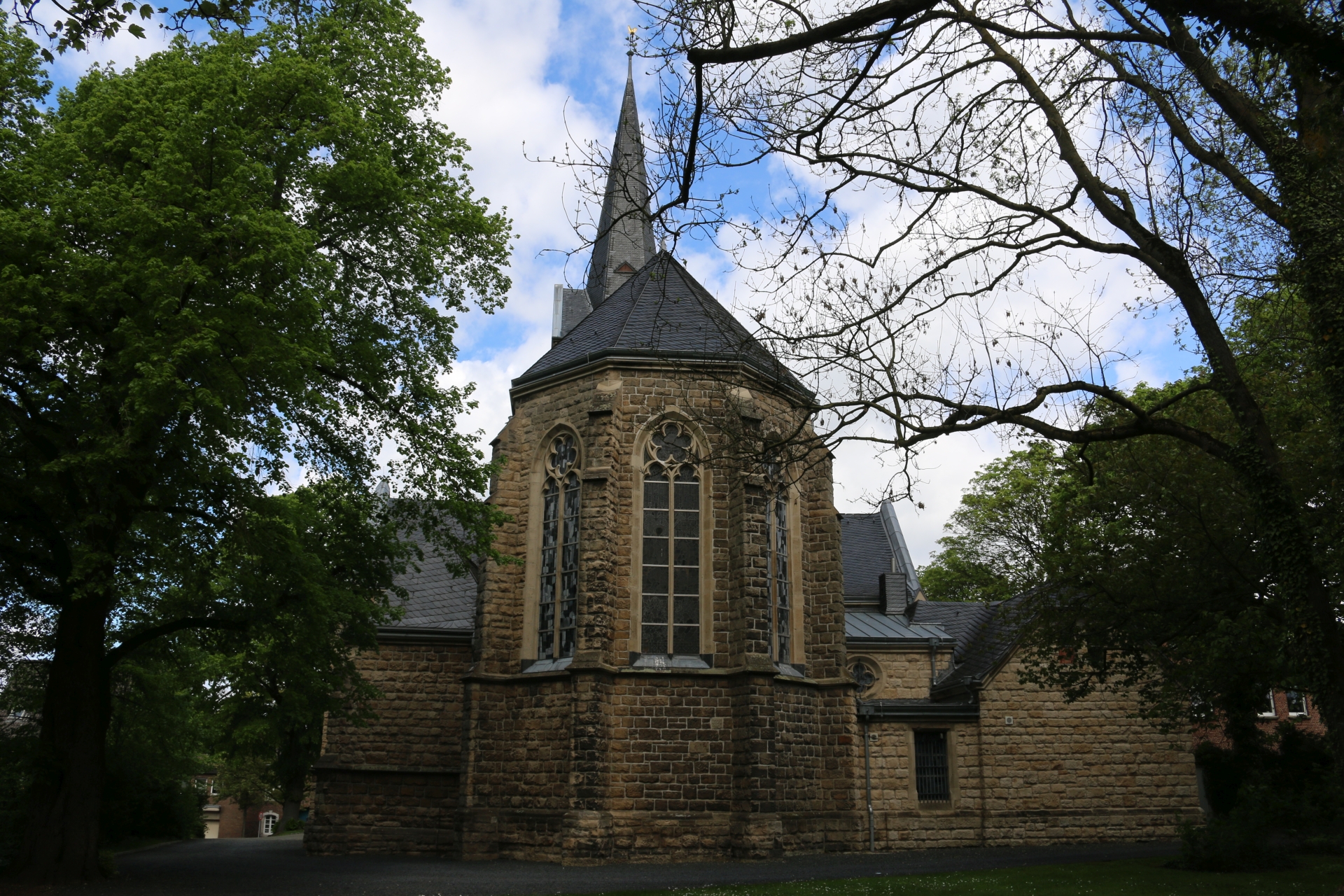
Rear view at church St. Nikolaus in Linden-Neusen
Category: Church
District: Linden
![]() 6,17853° O 50,83617° N
6,17853° O 50,83617° N
30.04.2017, KWH
Side view at St. Nikolaus in Linden-Neusen
Category: Church
District: Linden
![]() 6,17846° O 50,83659° N
6,17846° O 50,83659° N
30.04.2017, KWH
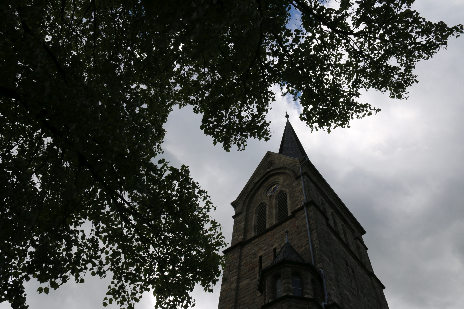
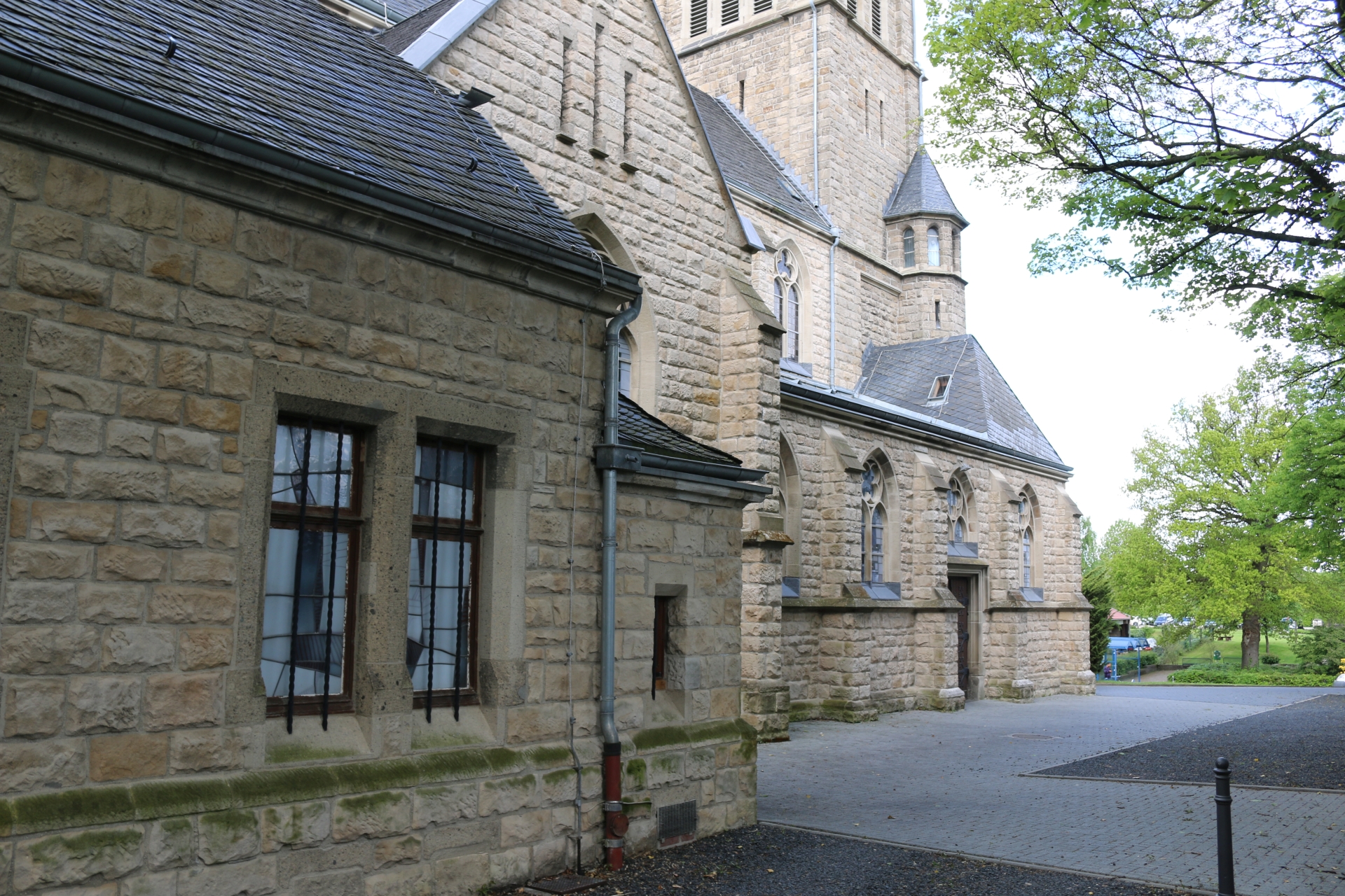
Tower of church St. Nikolaus in Linden-Neusen
Category: Church
District: Linden
![]() 6,17809° O 50,83676° N
6,17809° O 50,83676° N
30.04.2017, KWH
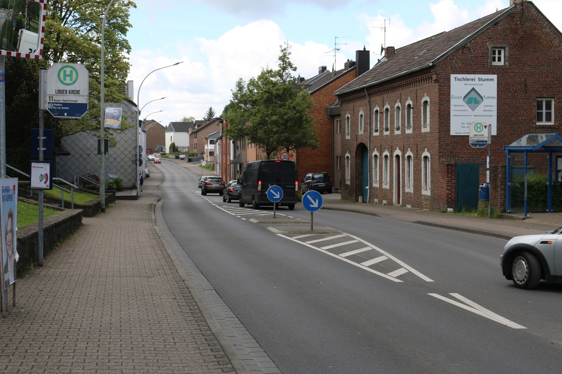
Lindener Straße in front of church St. Nikolaus in Linden-Neusen
Category: Street
District: Linden
![]() 6,17801° O 50,83681° N
6,17801° O 50,83681° N
30.04.2017, KWH
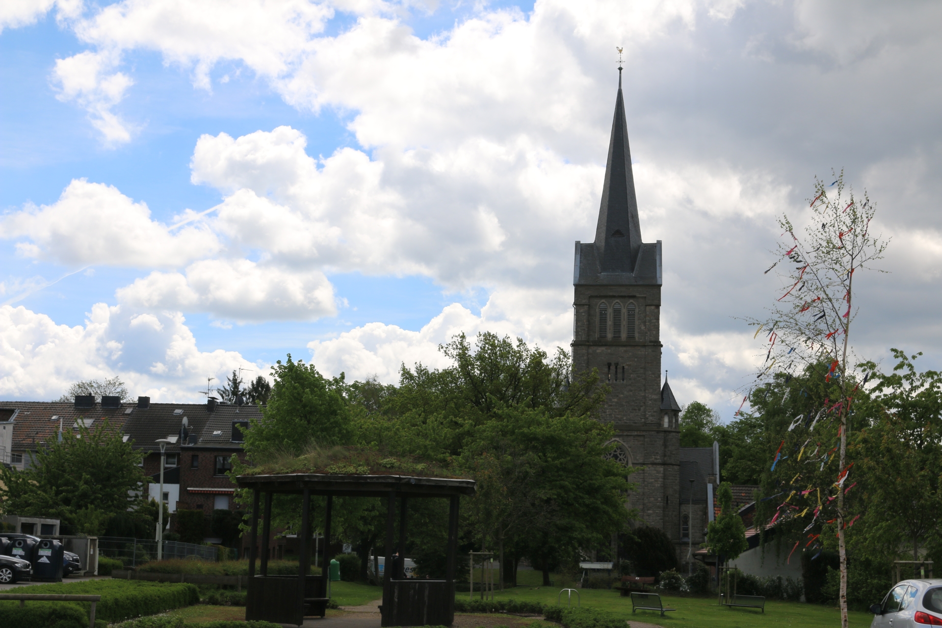
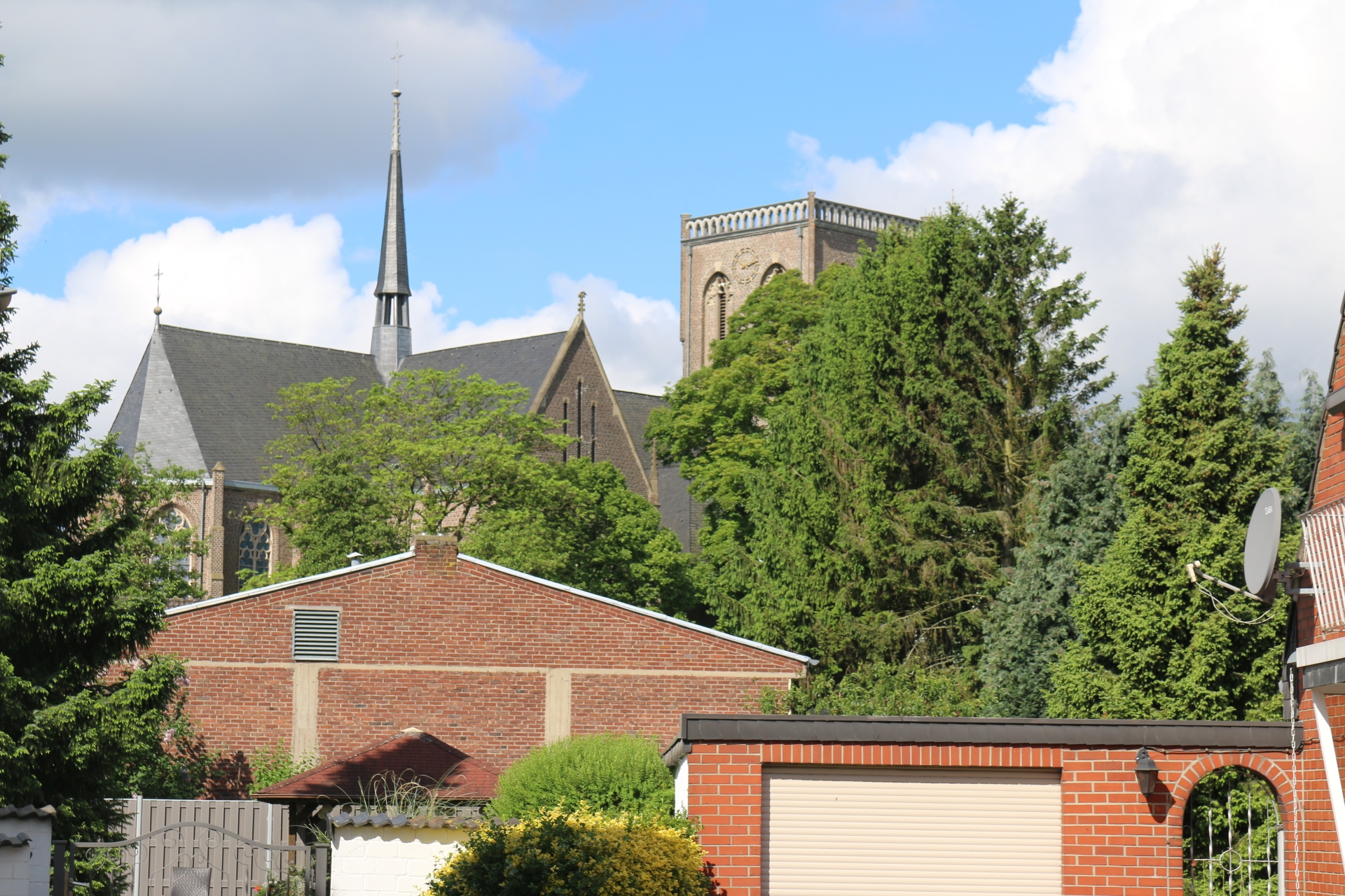
Village square Linden-Neusen looking at St. Nikolaus
Category: Church
District: Linden
![]() 6,17679° O 50,83767° N
6,17679° O 50,83767° N
30.04.2017, KWH
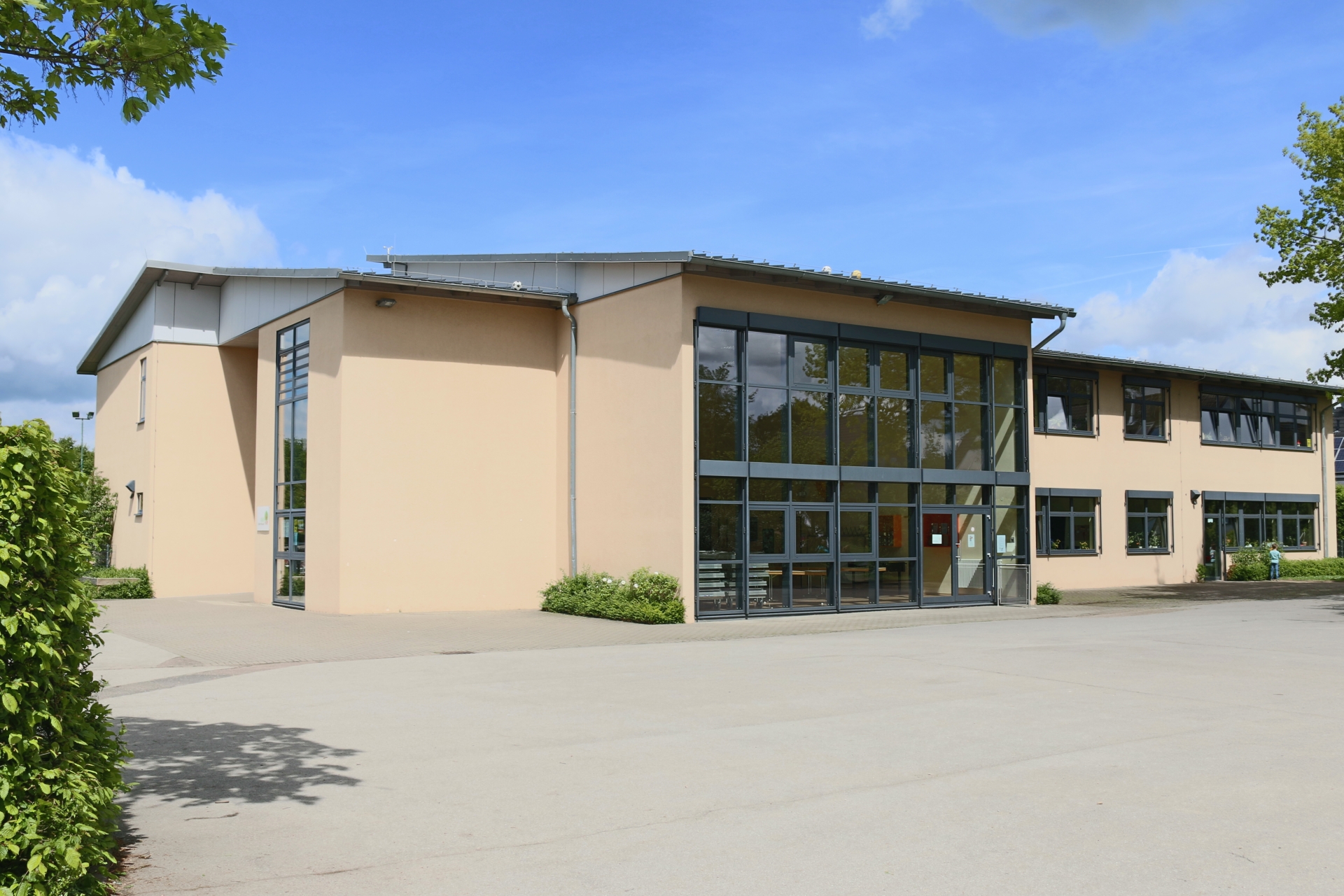
Primary school Linden-Neusen
Category: Business
District: Linden
![]() 6,17764° O 50,83777° N
6,17764° O 50,83777° N
30.04.2017, KWH
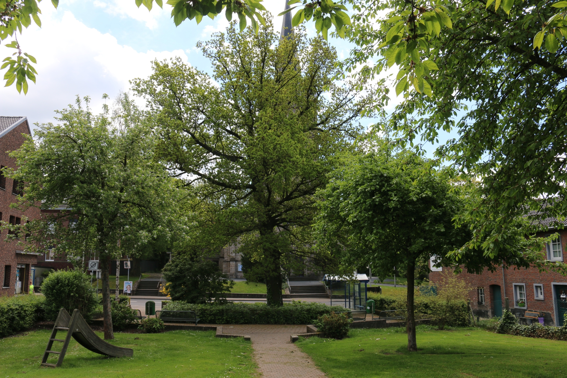
The Lime at the village square at Linden-Neusen (Linde = Lime)
Category: Street
District: Linden
![]() 6,17715° O 50,83747° N
6,17715° O 50,83747° N
30.04.2017, KWH
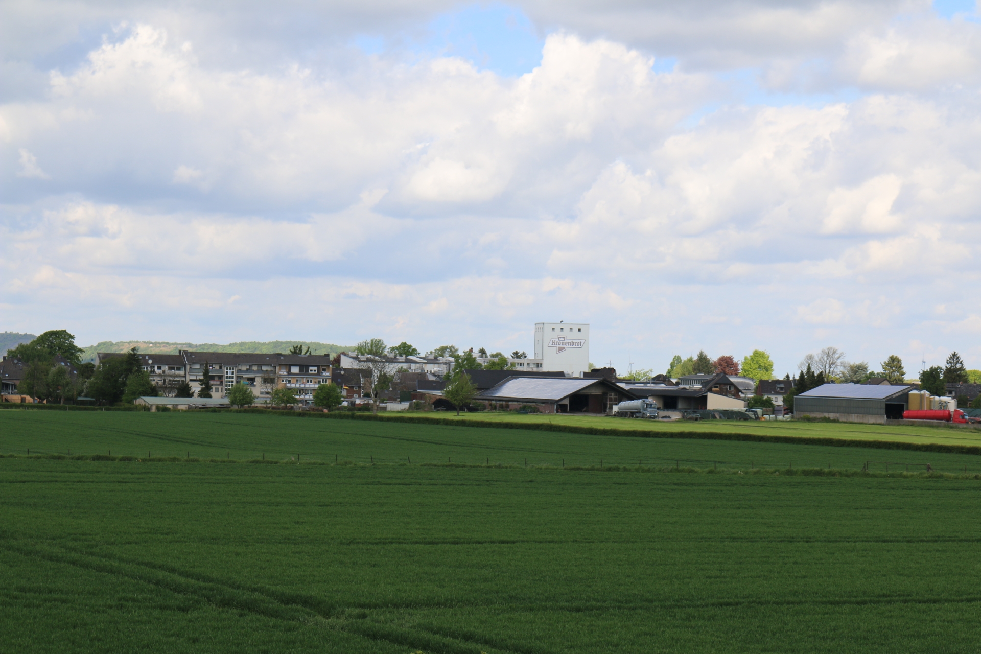
Large bakery Kronenbrot in Neusen
Category: Business
District: Linden
![]() 6,17793° O 50,83132° N
6,17793° O 50,83132° N
30.04.2017, KWH
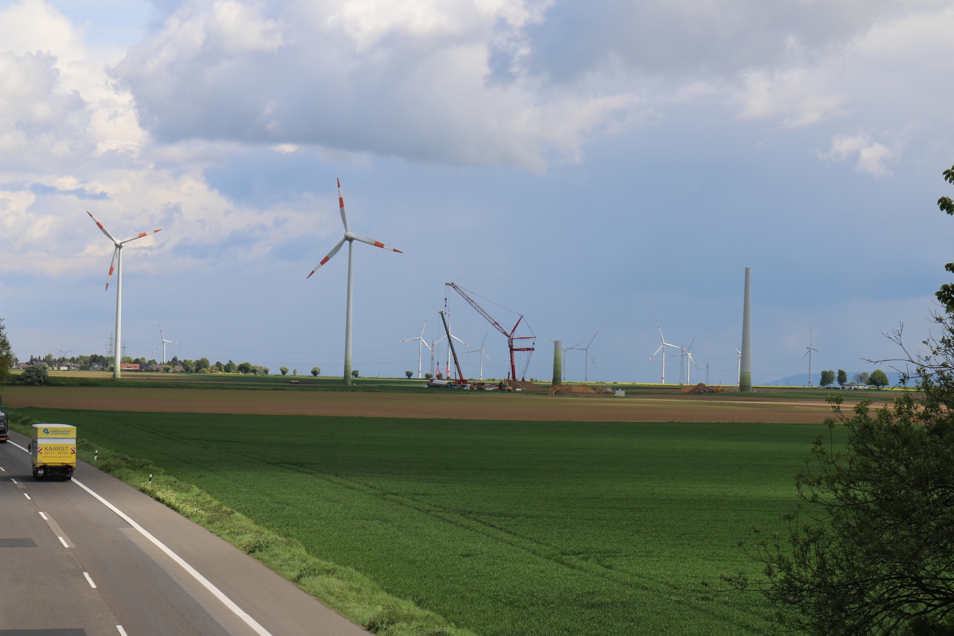
Installation of wind turbines between Linden-Neusen und St. Jöris
Category: Business
District: Neusen
![]() 6,18636° O 50,83314° N
6,18636° O 50,83314° N
30.04.2017, KWH
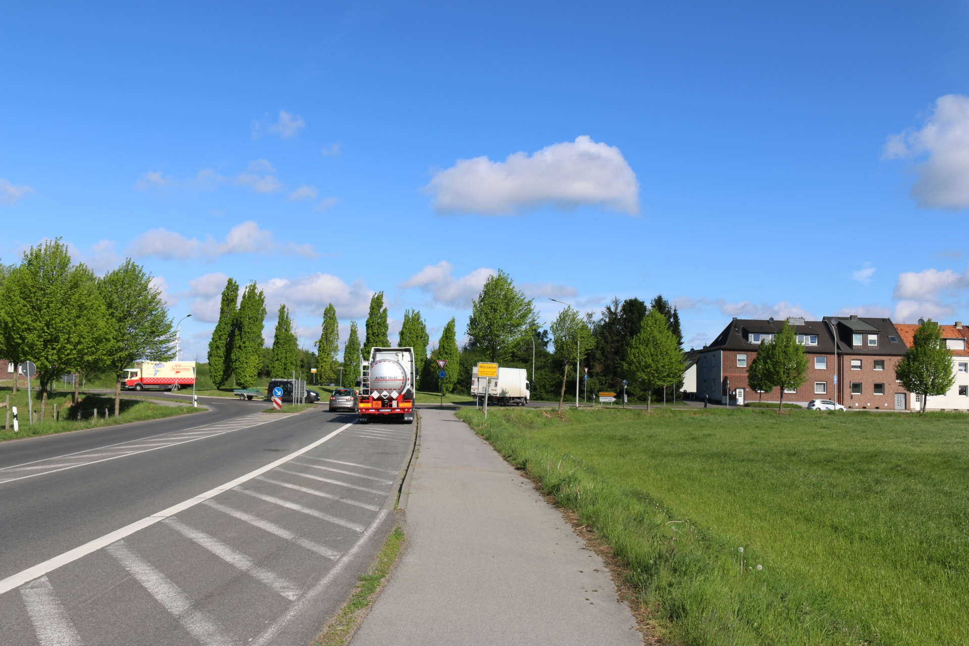
Roundabout between Linden-Neusen and Vorweiden
Category: Street
District: Linden
![]() 6,17059° O 50,83235° N
6,17059° O 50,83235° N
30.04.2017, KWH
Village entrance at Linden-Neusen from highway A44
Category: Entrance_Exit
District: Linden
![]() 6,17128° O 50,83103° N
6,17128° O 50,83103° N
30.04.2017, KWH
Village exit at Linden-Neusen to highway A44
Category: Entrance_Exit
District: Linden
![]() 6,17009° O 50,83166° N
6,17009° O 50,83166° N
30.04.2017, KWH
Village exit at Linden-Neusen to Birk
Category: Entrance_Exit
District: Linden
![]() 6,16944° O 50,8318° N
6,16944° O 50,8318° N
30.04.2017, KWH
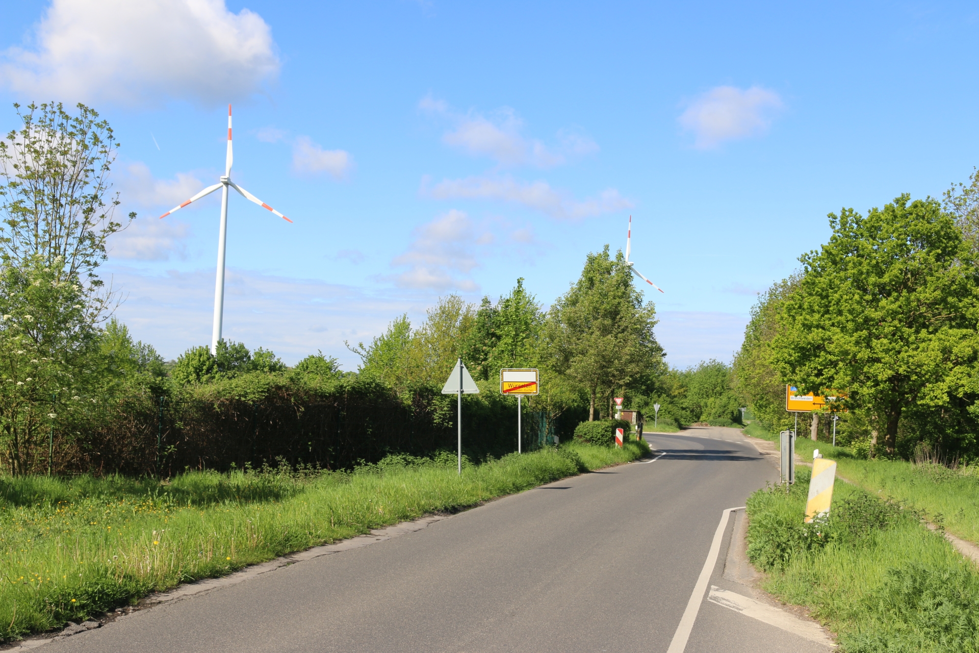
Village exit at Linden-Neusen to road L223
Category: Entrance_Exit
District: Neusen
![]() 6,15215° O 50,84235° N
6,15215° O 50,84235° N
30.04.2017, KWH
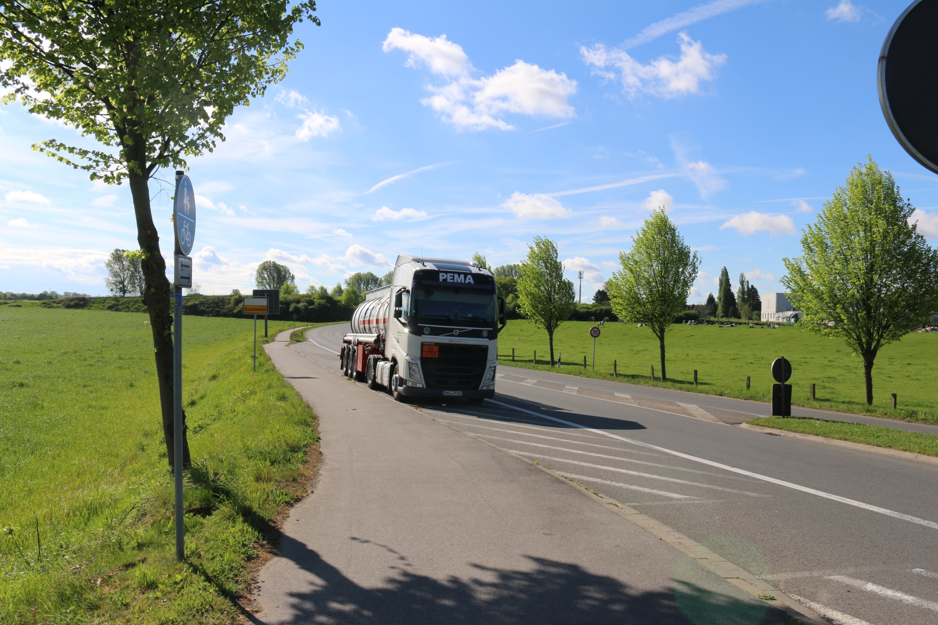
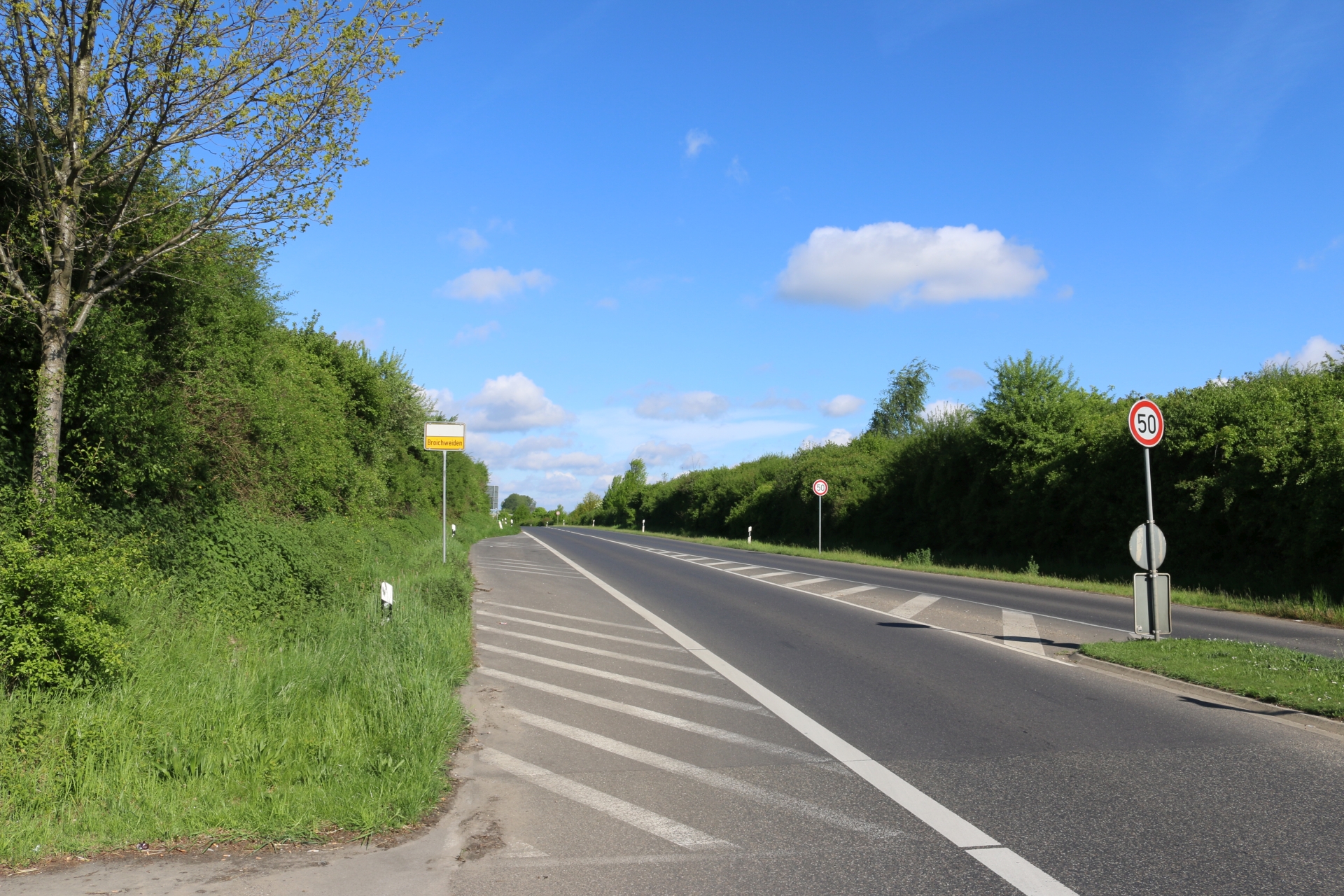
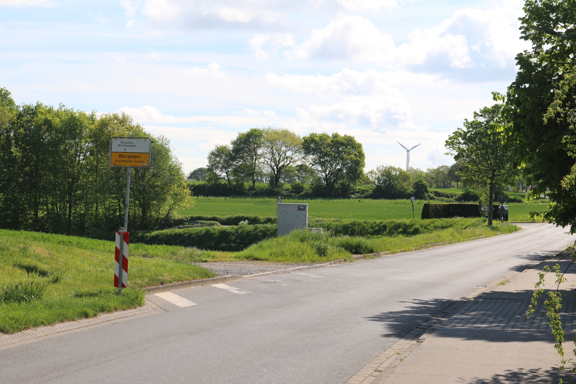
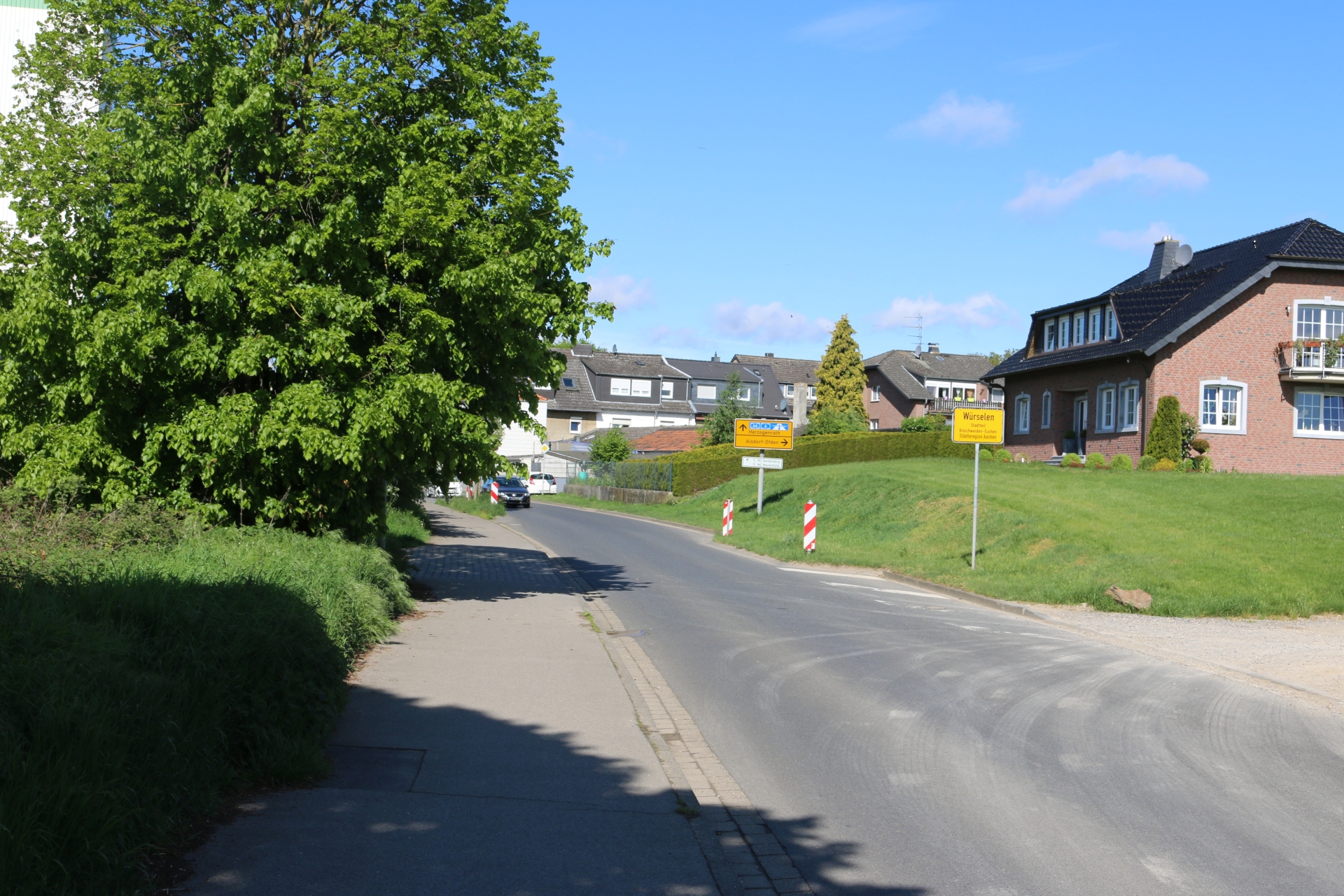
Village entrance Euchen from road L223
Category: Entrance_Exit
District: Euchen
![]() 6,1509° O 50,84205° N
6,1509° O 50,84205° N
30.04.2017, KWH
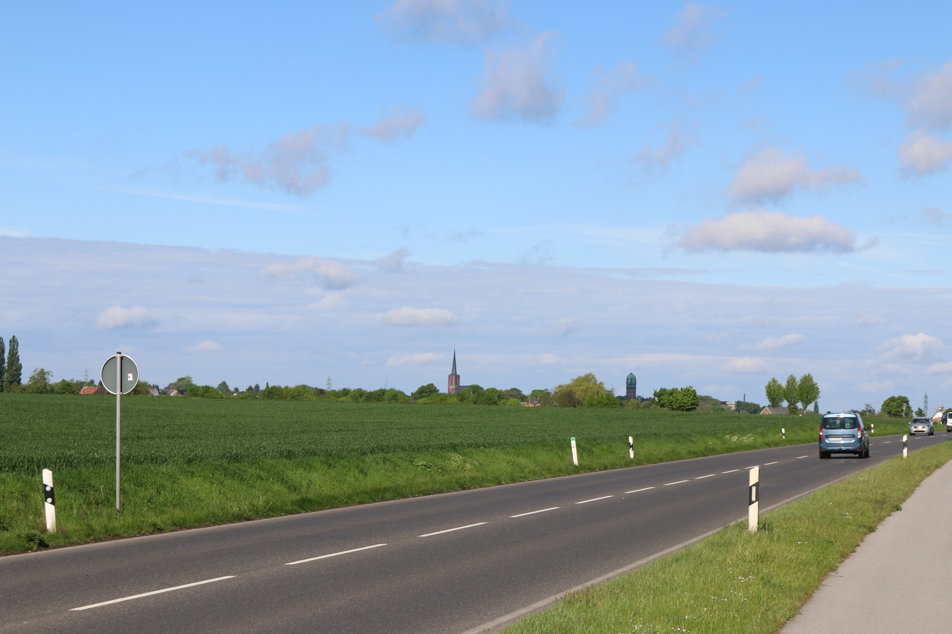
On the road L223 viewing direction Bardenberg with water tower
Category: Countryside
District: Bardenberg
![]() 6,14459° O 50,84227° N
6,14459° O 50,84227° N
30.04.2017, KWH
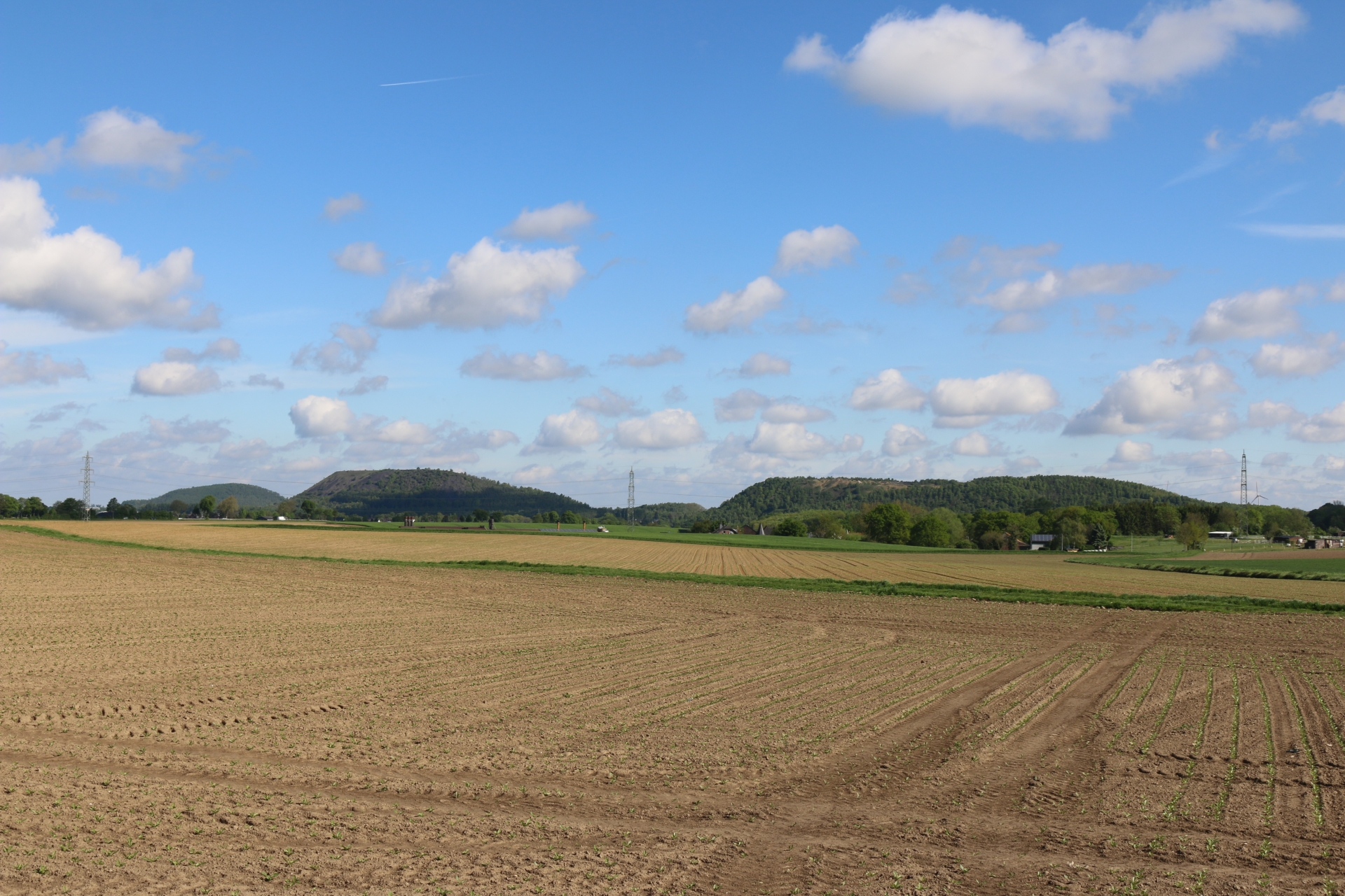
On the road L223 viewing direction Alsdorf with mining waste tips
Category: Countryside
District: Euchen
![]() 6,14567° O 50,8421° N
6,14567° O 50,8421° N
30.04.2017, KWH
Village exit Euchen to Broich
Category: Entrance_Exit
District: Euchen
![]() 6,16458° O 50,84385° N
6,16458° O 50,84385° N
30.04.2017, KWH
Village entrance from Broich
Category: Entrance_Exit
District: Euchen
![]() 6,165° O 50,84391° N
6,165° O 50,84391° N
30.04.2017, KWH
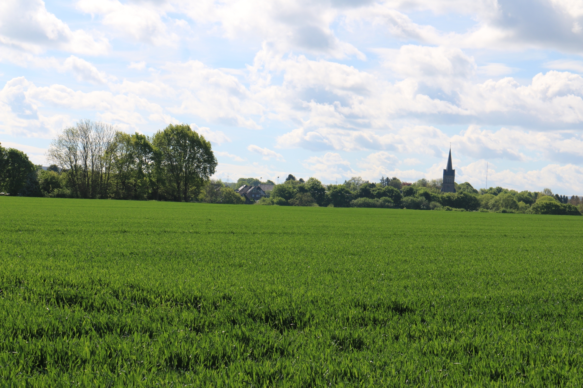
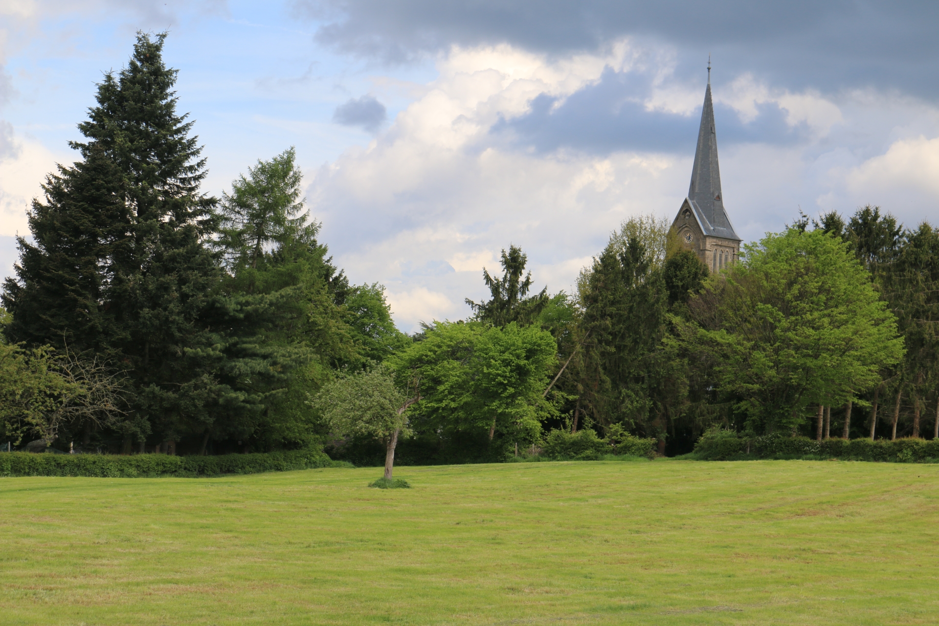
Linden-Neusen with church St. Nikolaus from the direction of Euchen
Category: Countryside
District: Linden
![]() 6,17003° O 50,84379° N
6,17003° O 50,84379° N
30.04.2017, KWH
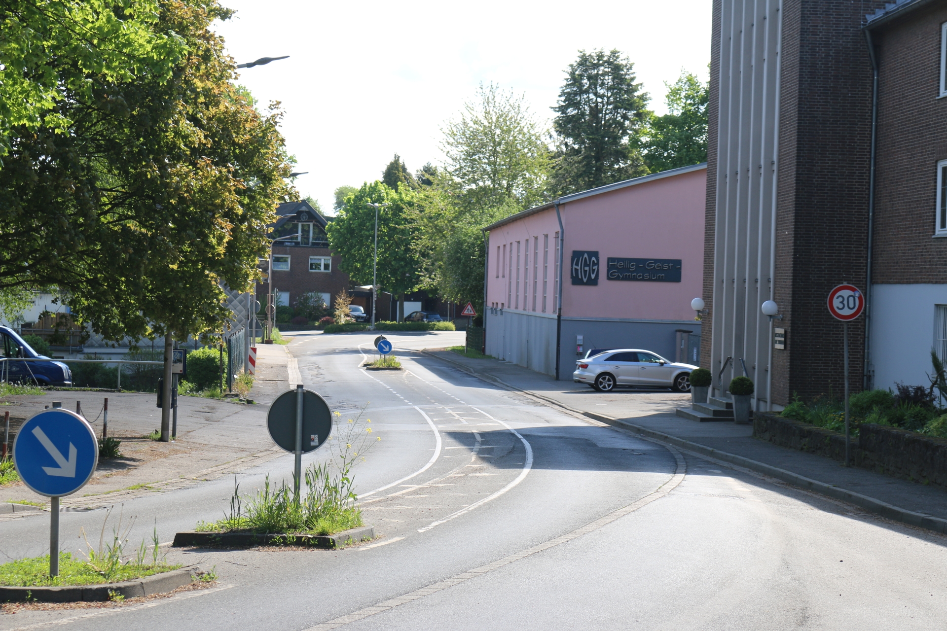
Heilig-Geist-Gymnasium" (high school)
Category: Business
District: Euchen
![]() 6,17345° O 50,8438° N
6,17345° O 50,8438° N
30.04.2017, KWH
Linden-Neusen from the direction of the Holzweg
Category: Countryside
District: Linden
![]() 6,17271° O 50,84168° N
6,17271° O 50,84168° N
30.04.2017, KWH
Linden-Neusen from the direction of the Holzweg
Category: Countryside
District: Linden
![]() 6,17269° O 50,84126° N
6,17269° O 50,84126° N
30.04.2017, KWH
Cloister Broich and highschool "Heilig-Geist-Gymnasium"
Category: Business
District: Euchen
![]() 6,17484° O 50,84061° N
6,17484° O 50,84061° N
30.04.2017, KWH
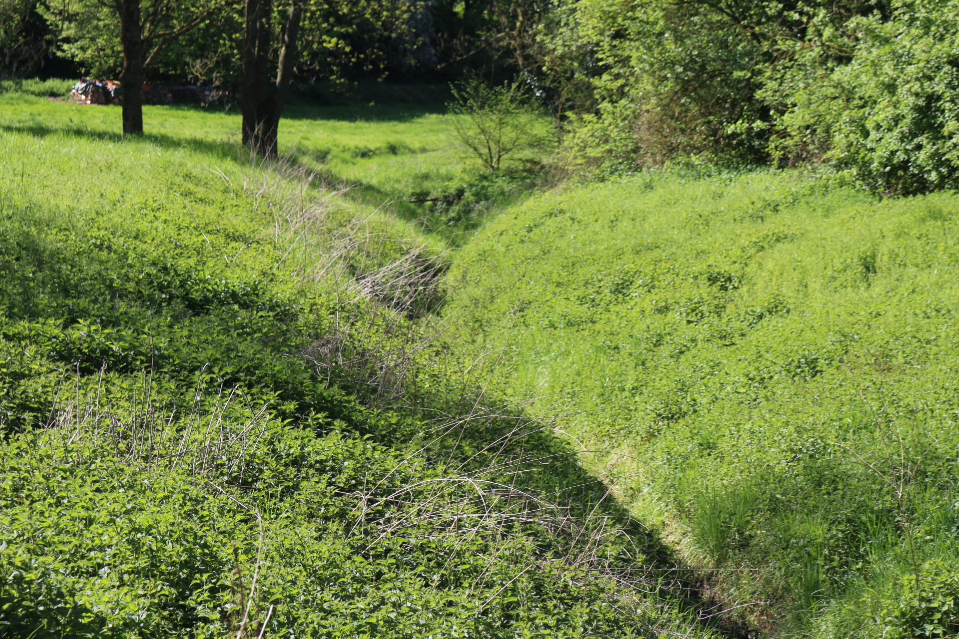
Stream Broichbach near the spring at Linden-Neusen
Category: General
District: Neusen
![]() 6,17634° O 50,84024° N
6,17634° O 50,84024° N
30.04.2017, KWH
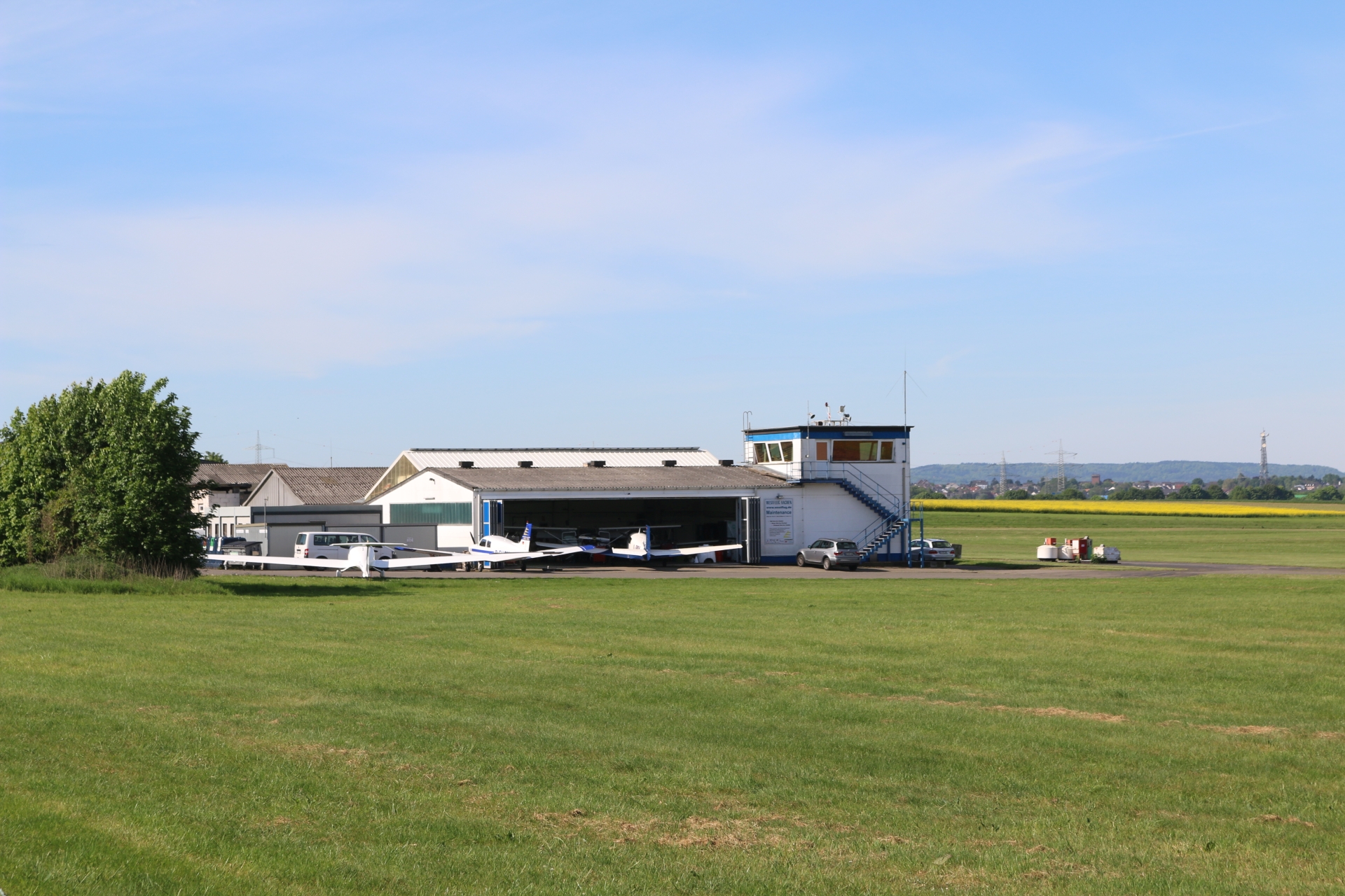
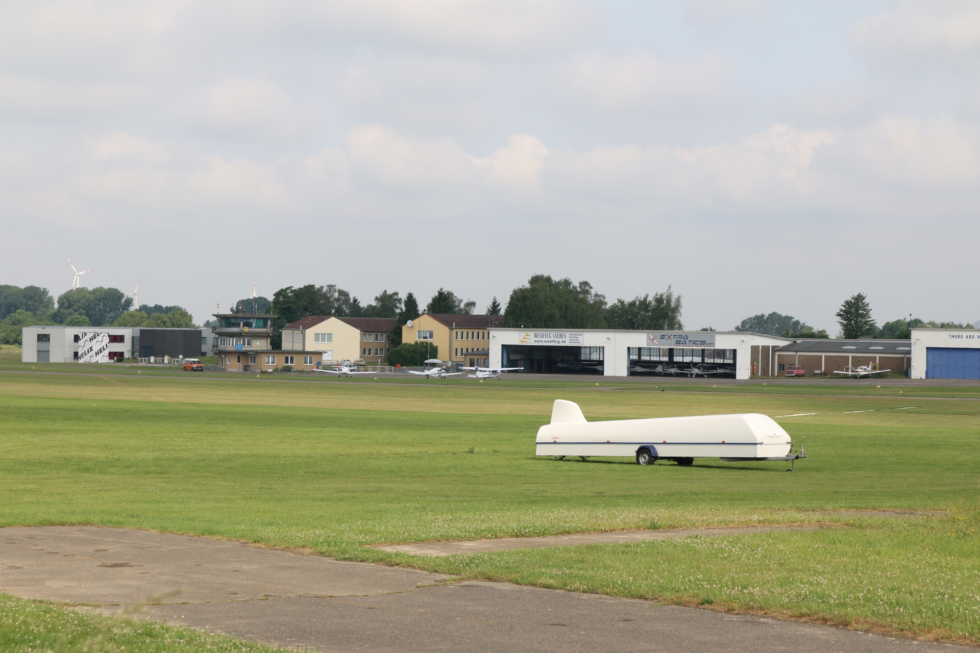
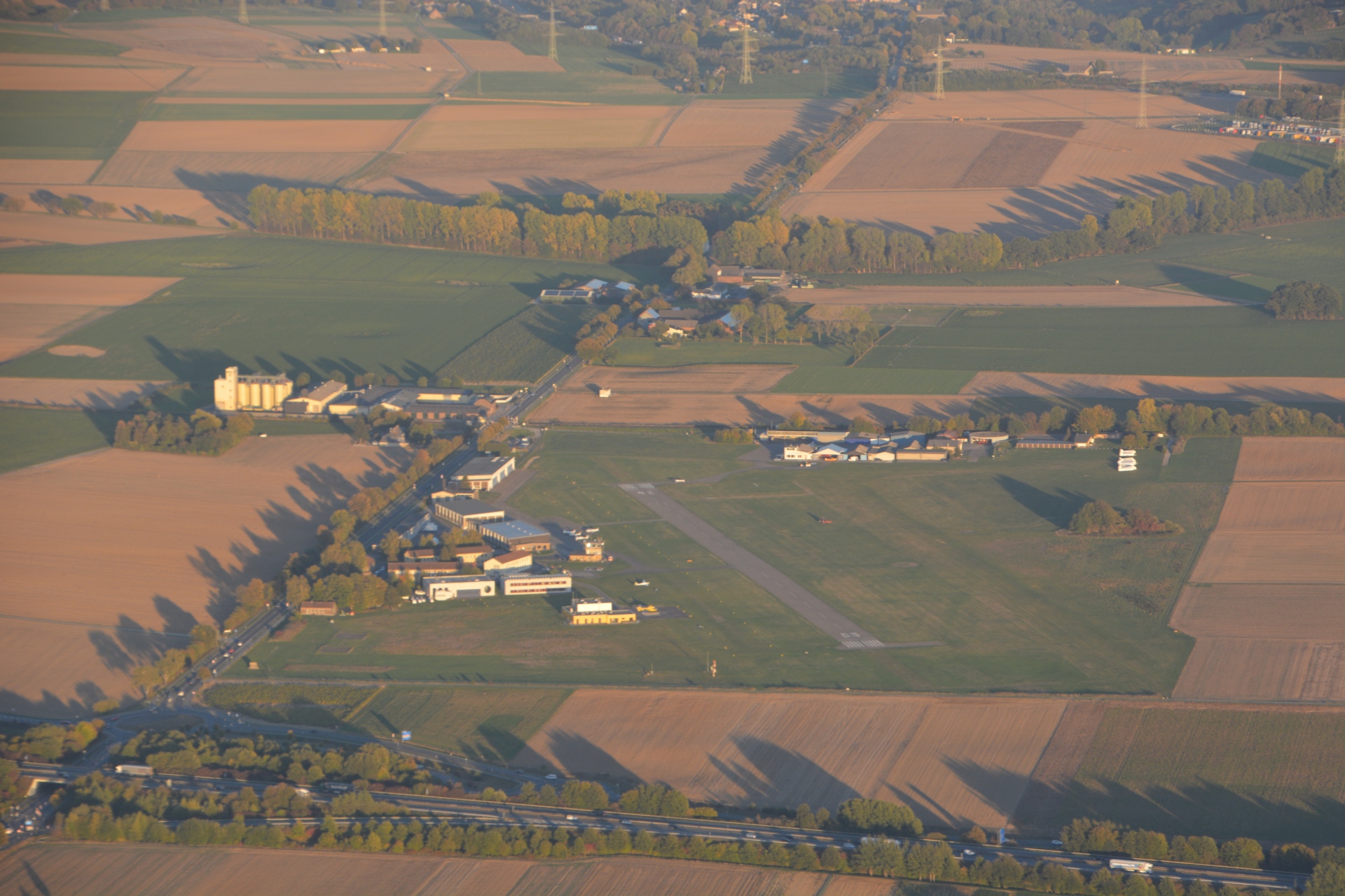
Airfield Merzbrück viewing direction Weiden
Category: Business
District: Merzbrück
![]() 6,19257° O 50,82402° N
6,19257° O 50,82402° N
30.04.2017, KWH
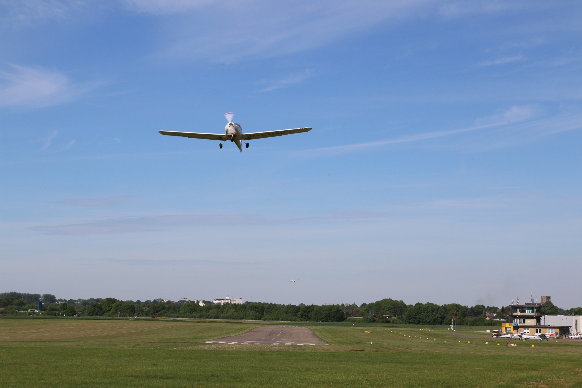
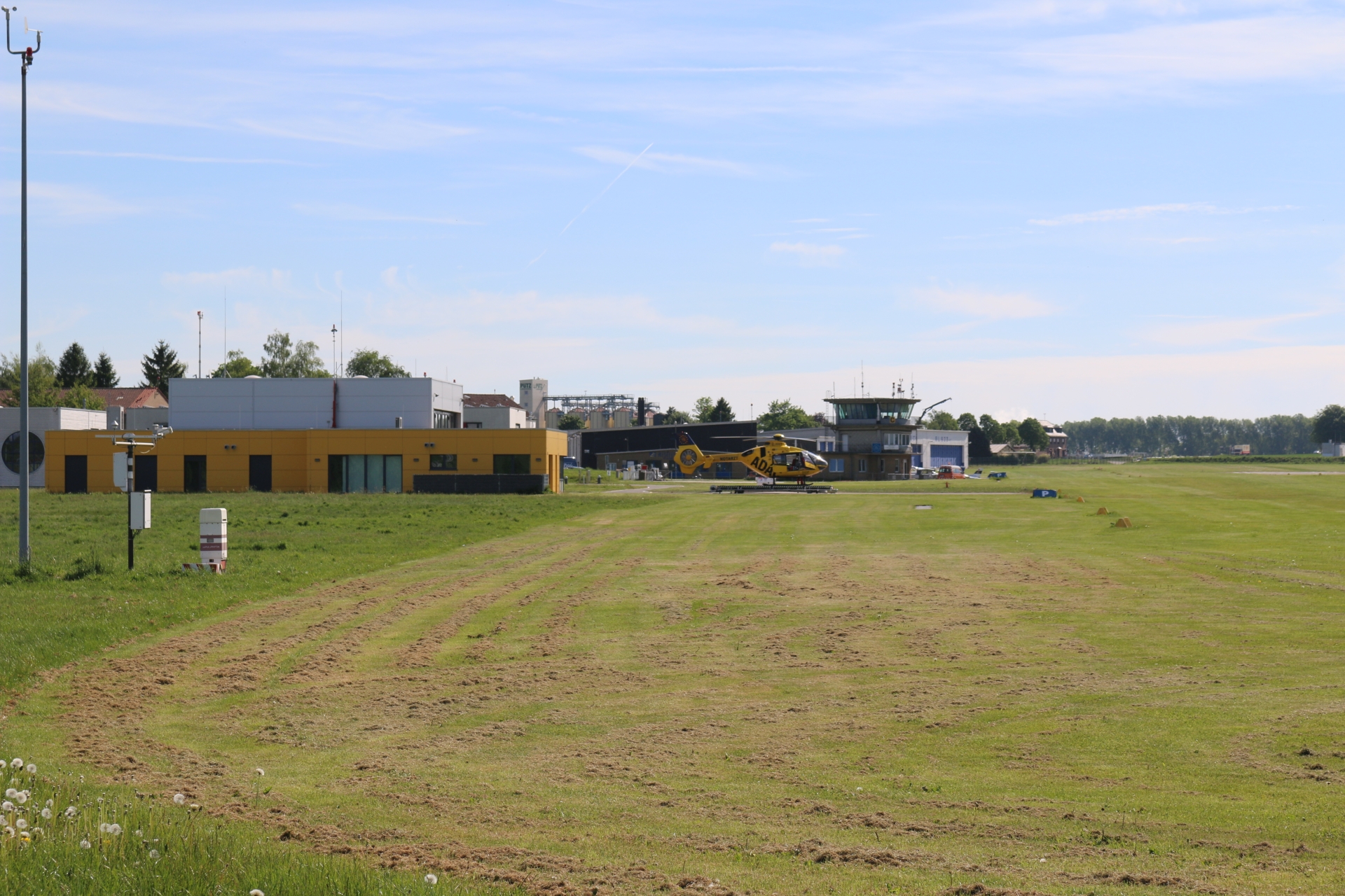
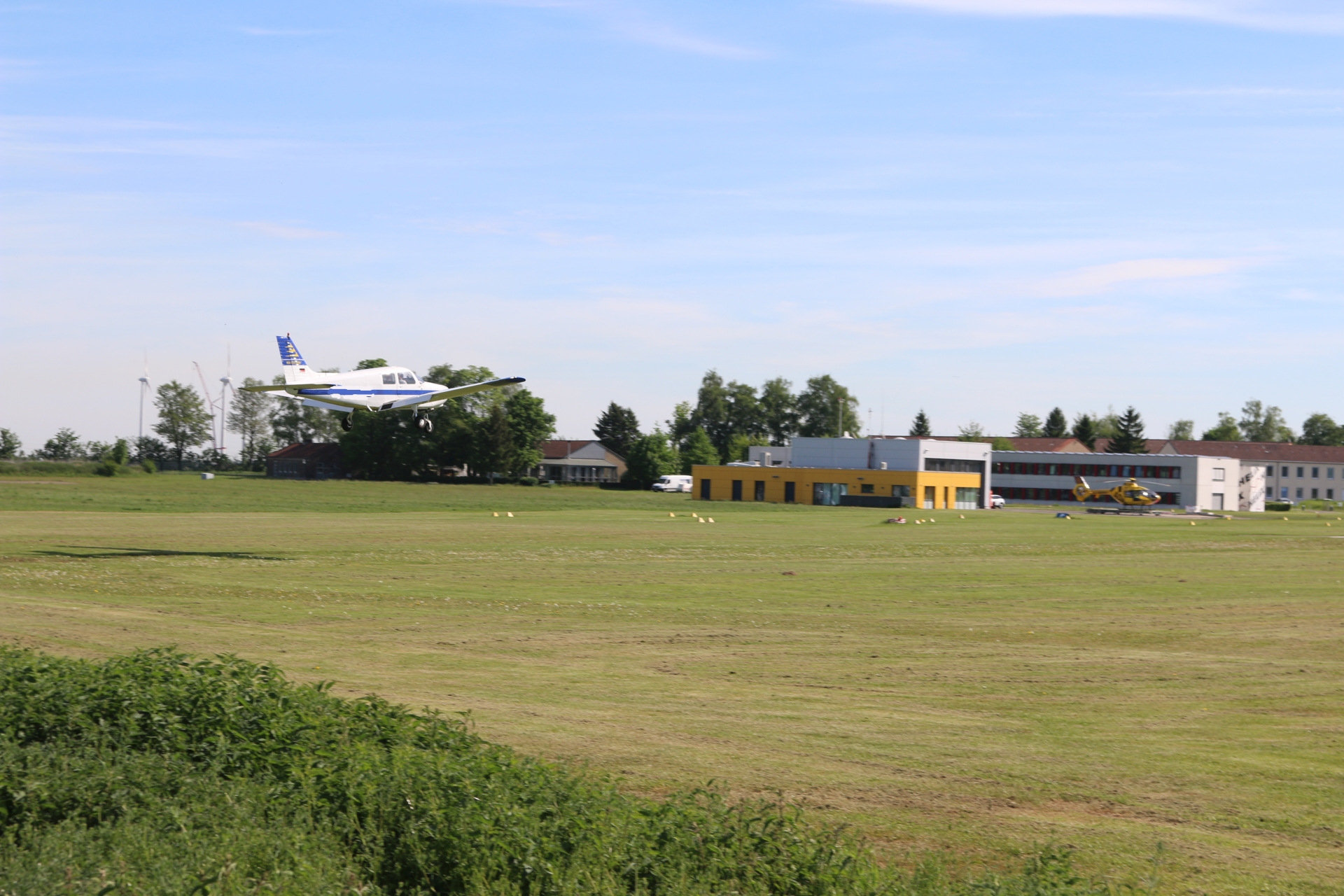
Airfield Merzbrück with flying ambulance (ADAC)
Category: Business
District: Merzbrück
![]() 6,18128° O 50,82313° N
6,18128° O 50,82313° N
30.04.2017, KWH
Linden former brick manufacture
Category: Historic
District: Linden
![]() 6,17223° O 50,83016° N
6,17223° O 50,83016° N
30.04.2017, KWH
Linden at former brick manufacture view direction Kolpingstraße
Category: Street
District: Linden
![]() 6,17055° O 50,83222° N
6,17055° O 50,83222° N
30.04.2017, KWH
Pritschenmeister Monument (Master of the Slapsticks :-)
Category: Monument
District: Vorweiden
![]() 6,16712° O 50,82947° N
6,16712° O 50,82947° N
30.04.2017, KWH
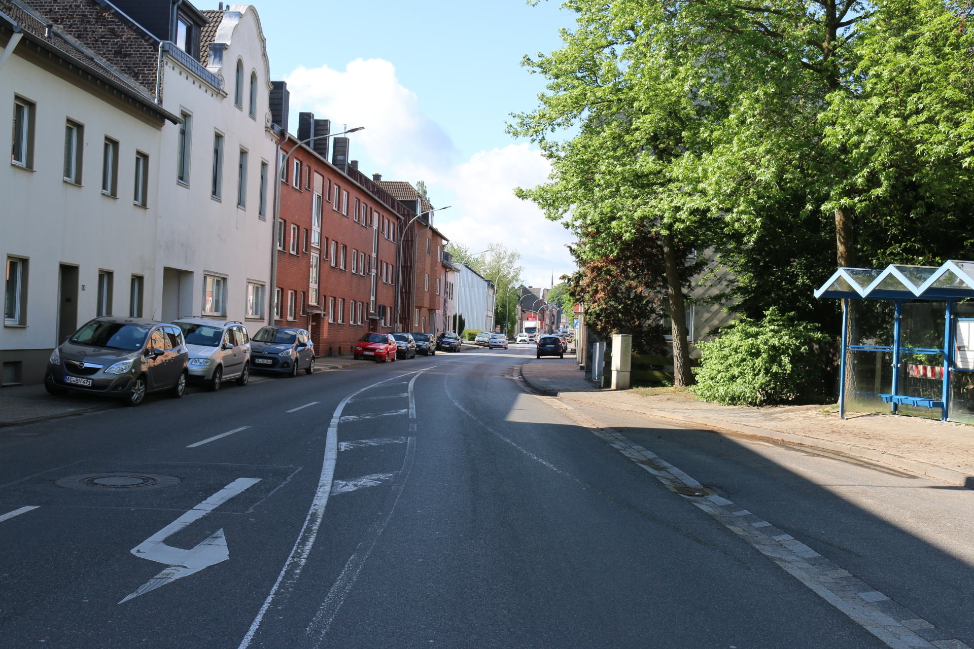
Jülischer Straße at Nassauer Straße towards Linden-Neusen
Category: Street
District: Vorweiden
![]() 6,16722° O 50,82945° N
6,16722° O 50,82945° N
30.04.2017, KWH
Jülischer Straße at Nassauer Straße
Category: Street
District: Vorweiden
![]() 6,16723° O 50,82938° N
6,16723° O 50,82938° N
30.04.2017, KWH
Jülischer Straße at Nassauer Straße towards Weiden
Category: Street
District: Vorweiden
![]() 6,1673° O 50,8293° N
6,1673° O 50,8293° N
30.04.2017, KWH
Pritschenmeister Monument (the slapstick)
Category: Monument
District: Vorweiden
![]() 6,16715° O 50,82949° N
6,16715° O 50,82949° N
30.04.2017, KWH
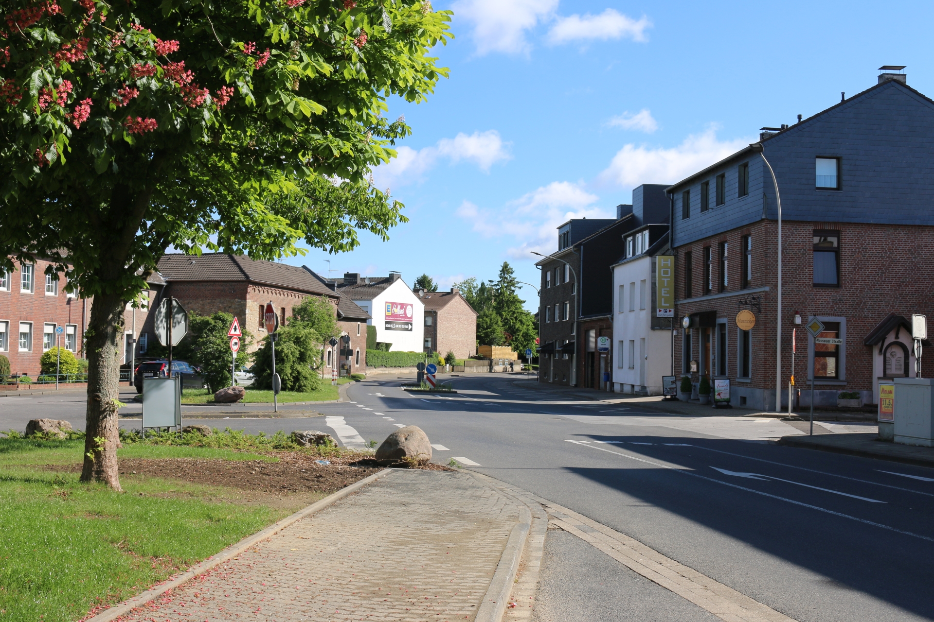
Jülischer Straße at Jodokus square viewing direction Weiden
Category: Street
District: Weiden
![]() 6,16652° O 50,82739° N
6,16652° O 50,82739° N
30.04.2017, KWH
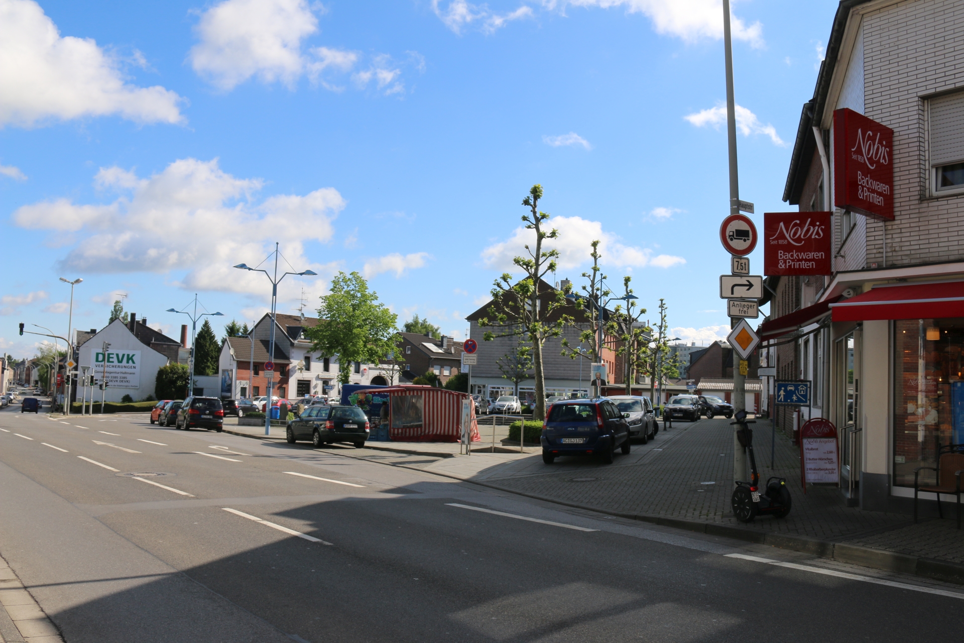
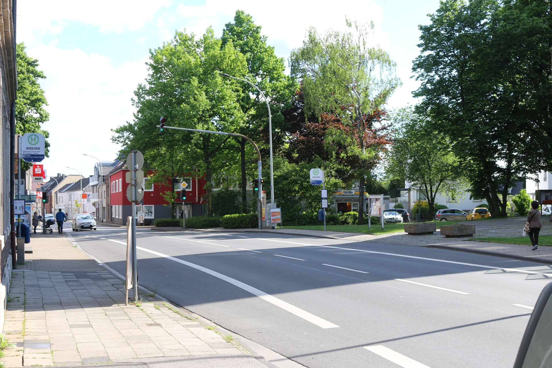
Hauptstraße at Jodokus square viewing direction Vorweiden
Category: Street
District: Weiden
![]() 6,1653° O 50,82537° N
6,1653° O 50,82537° N
30.04.2017, KWH
Sculpture in Weiden (Albert Sous, 1984)
Category: Monument
District: Weiden
![]() 6,16352° O 50,82378° N
6,16352° O 50,82378° N
30.04.2017, KWH
Hauptstraße in front of St. Lucia
Category: Street
District: Weiden
![]() 6,16396° O 50,82338° N
6,16396° O 50,82338° N
30.04.2017, KWH
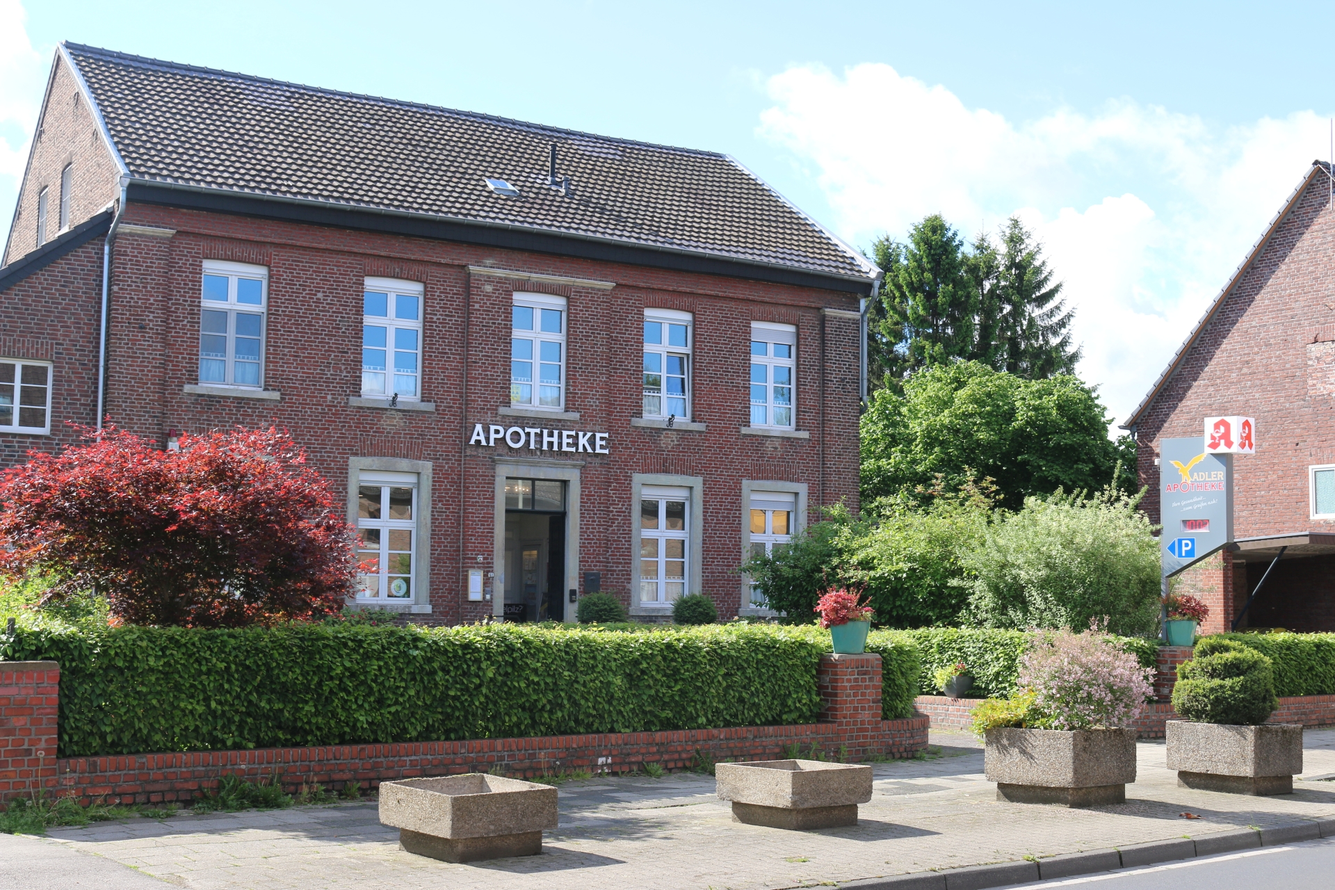
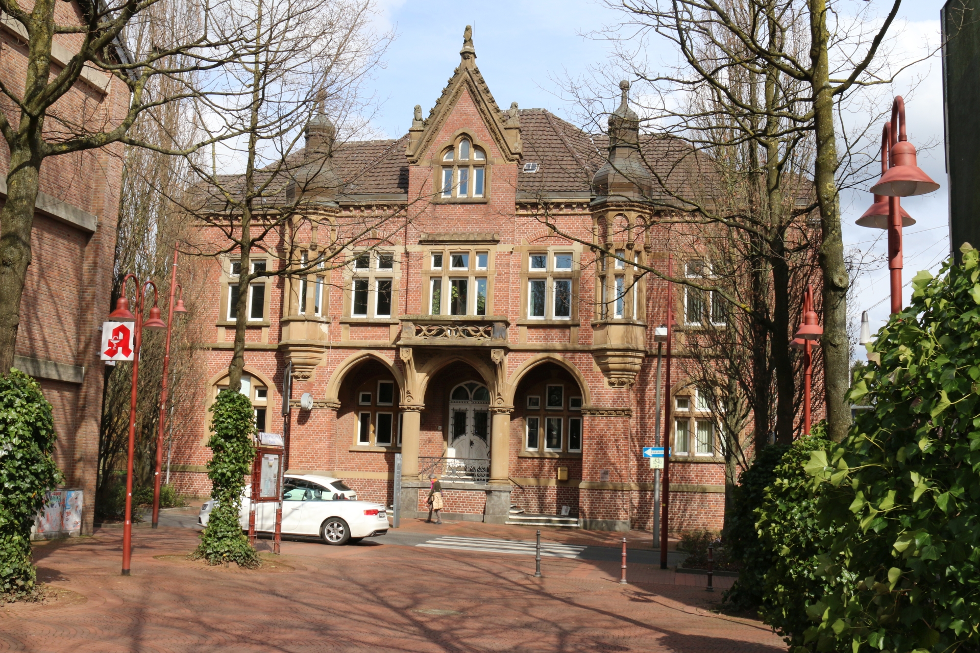
Pharmacy Adler, oldest pharmacy in Würselen, 1835
Category: Business
District: Weiden
![]() 6,16239° O 50,82236° N
6,16239° O 50,82236° N
30.04.2017, KWH
Hauptstraße at Adler pharmacy viewing direction Aachen
Category: Street
District: Weiden
![]() 6,16232° O 50,82223° N
6,16232° O 50,82223° N
30.04.2017, KWH
Rear view at church St. Lucia in Weiden
Category: Church
District: Weiden
![]() 6,16509° O 50,82304° N
6,16509° O 50,82304° N
30.04.2017, KWH
St. Lucia from Rudolf-Blum-Straße
Category: Church
District: Weiden
![]() 6,16675° O 50,82327° N
6,16675° O 50,82327° N
30.04.2017, KWH
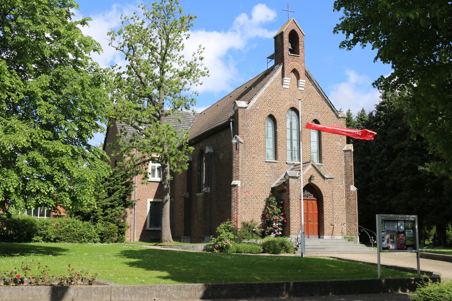
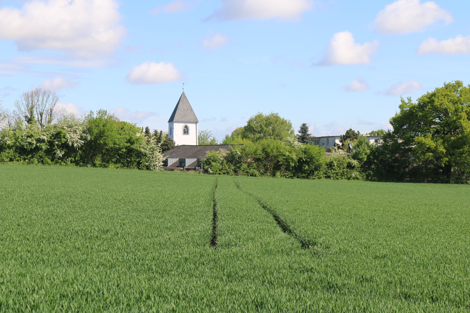
Evangelical church Vorweiden
Category: Church
District: Vorweiden
![]() 6,16864° O 50,83085° N
6,16864° O 50,83085° N
30.04.2017, KWH
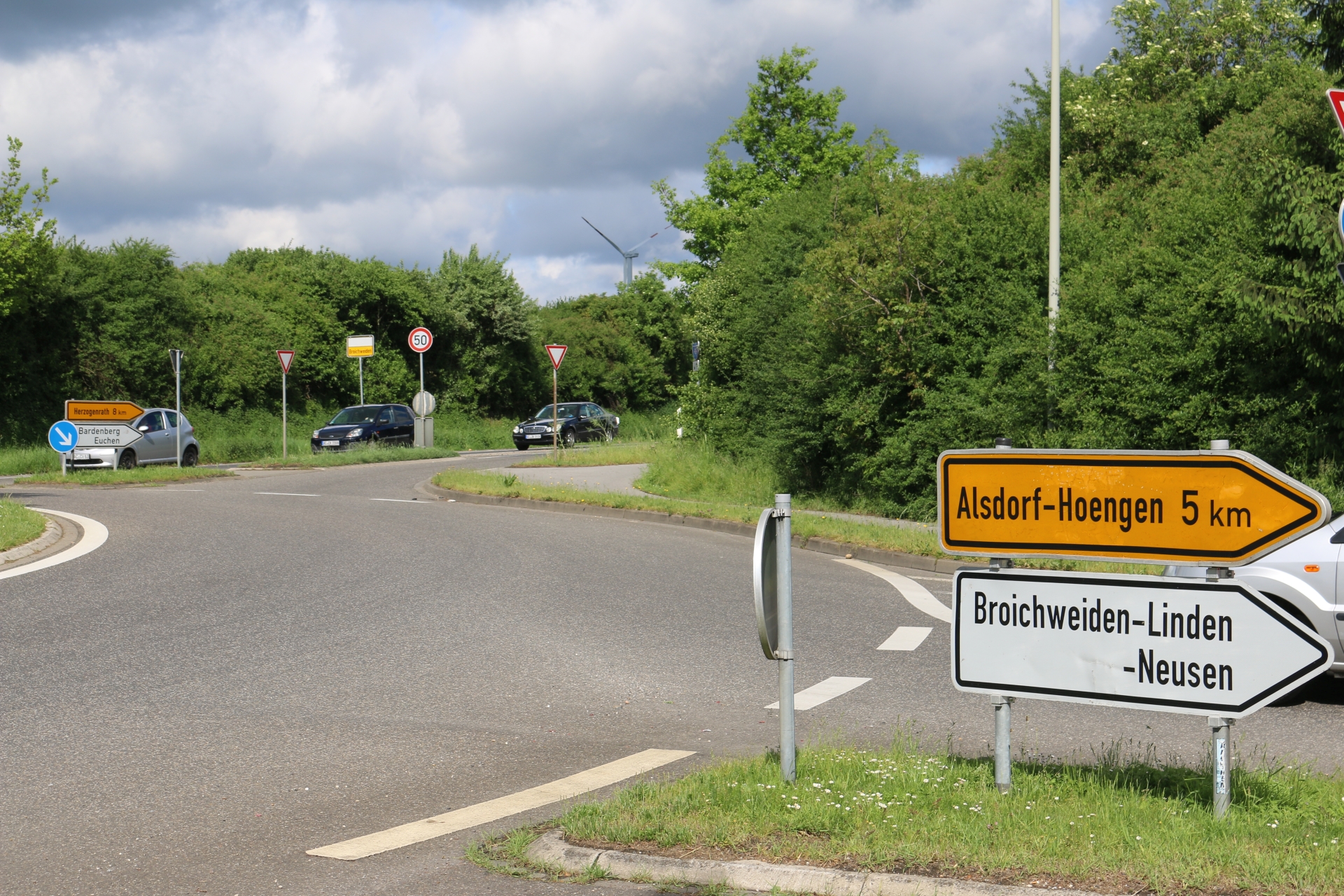
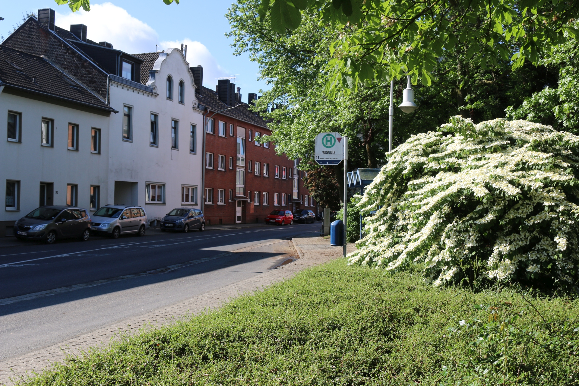
Direction signs around the roundabout in Linden-Neusen
Category: Street
District: Linden
![]() 6,17005° O 50,83186° N
6,17005° O 50,83186° N
30.04.2017, KWH
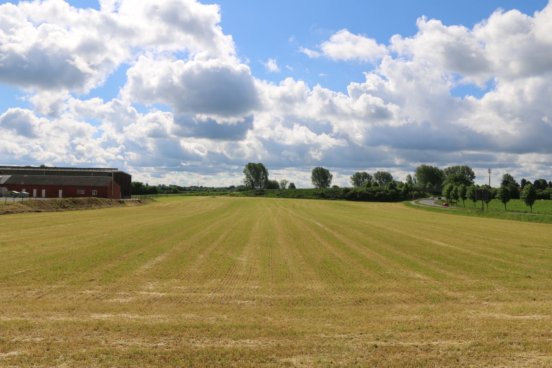
Former brick manufacture and the road L223 from Linden
Category: Countryside
District: Linden
![]() 6,1706° O 50,8323° N
6,1706° O 50,8323° N
30.04.2017, KWH
Manor house vis-à-vis former brick manufacture
Category: Business
District: Linden
![]() 6,17161° O 50,83312° N
6,17161° O 50,83312° N
30.04.2017, KWH
Stream Merzbach from the bridge of the Aachener Straße
Category: General
District: Merzbrück
![]() 6,20418° O 50,82332° N
6,20418° O 50,82332° N
30.04.2017, KWH
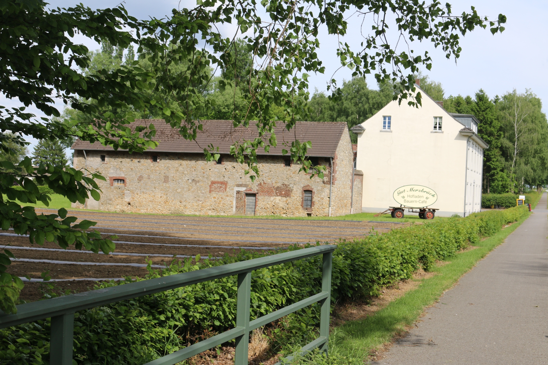
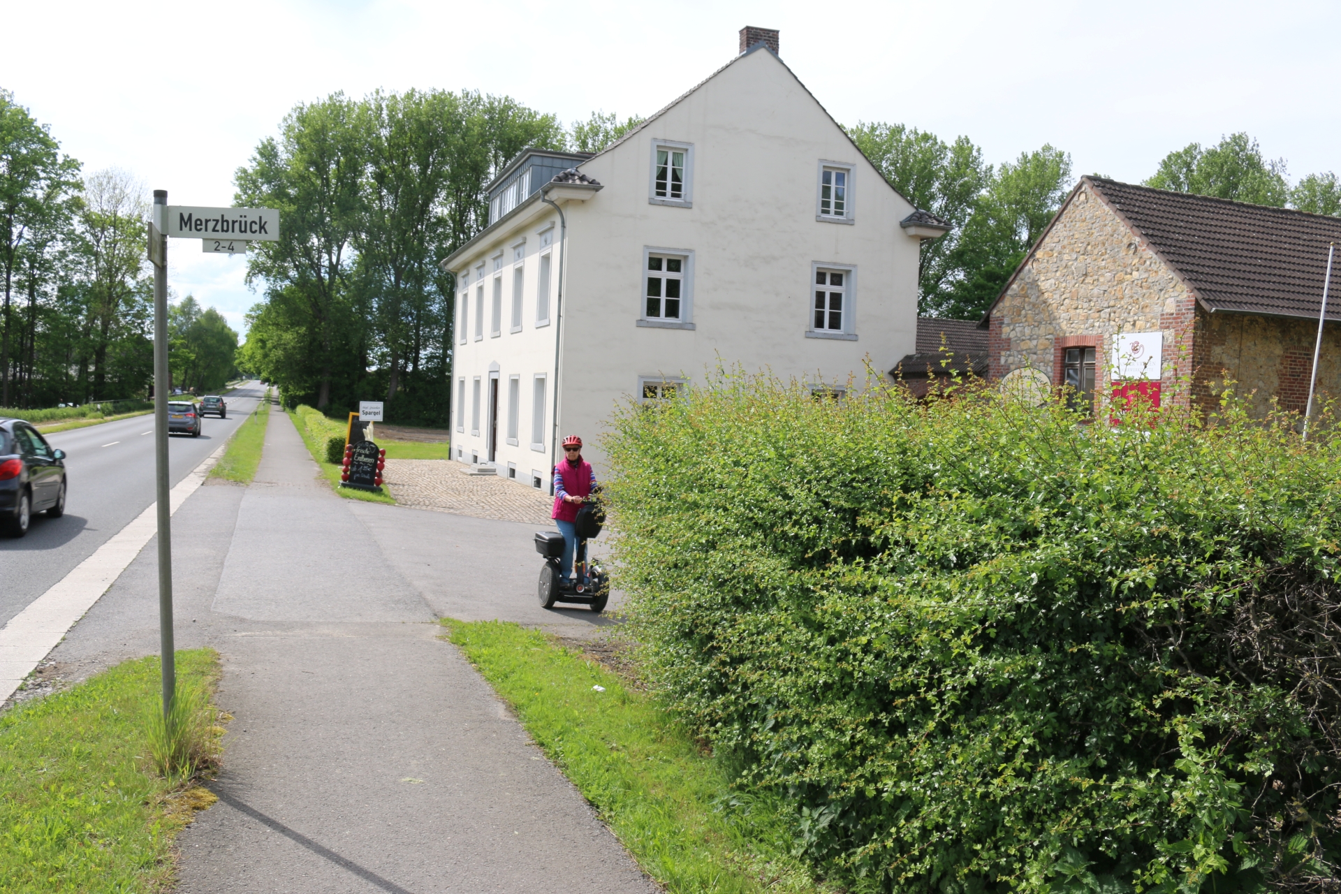
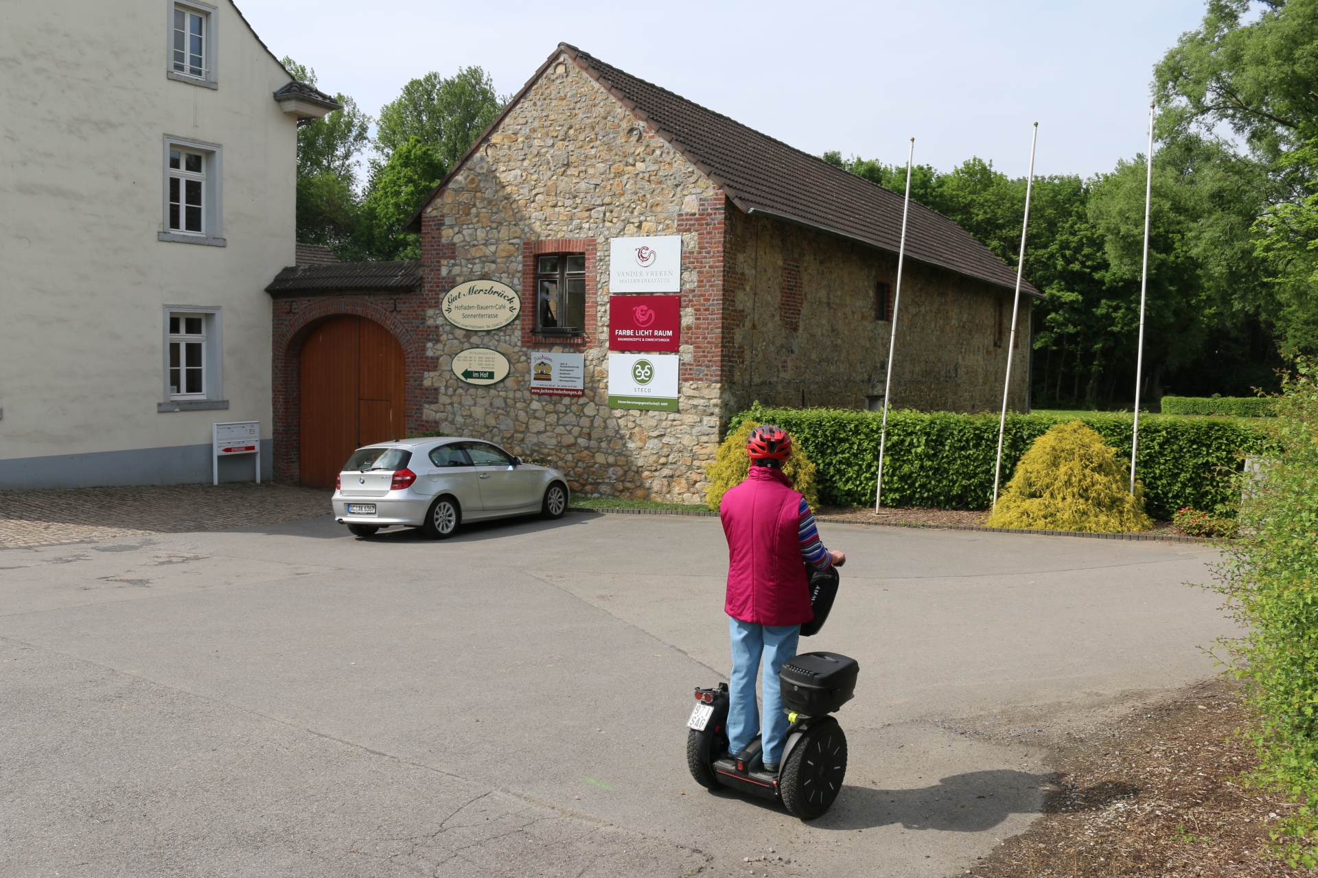
Barnyard Merzbrück from the bridge of the Aachener Straße
Category: Street
District: Merzbrück
![]() 6,20424° O 50,82332° N
6,20424° O 50,82332° N
30.04.2017, KWH
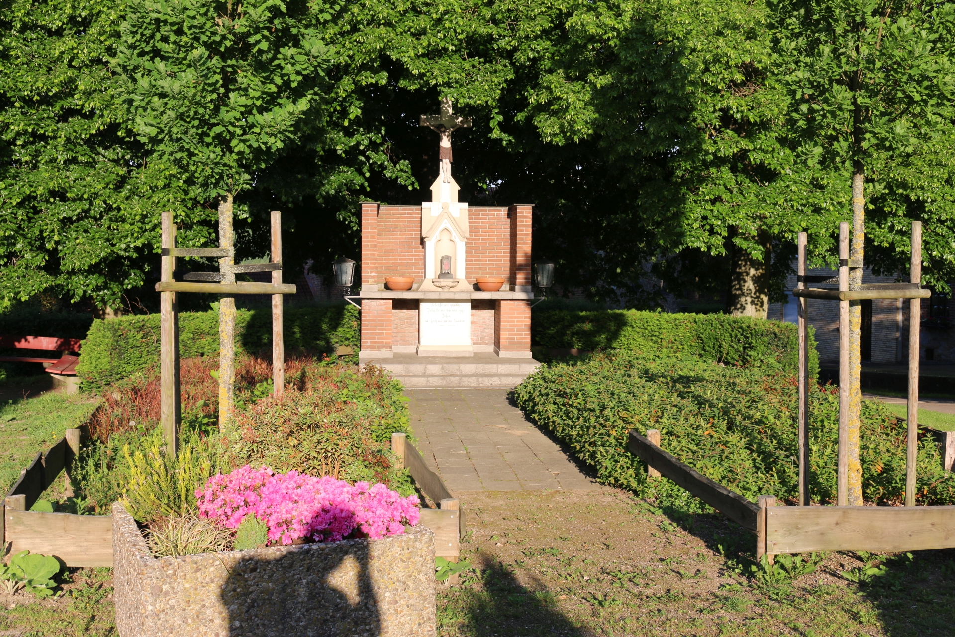
Wayside cross at the Kreuzplatz
Category: Church
District: Scherberg
![]() 6,11375° O 50,81826° N
6,11375° O 50,81826° N
30.04.2017, KWH
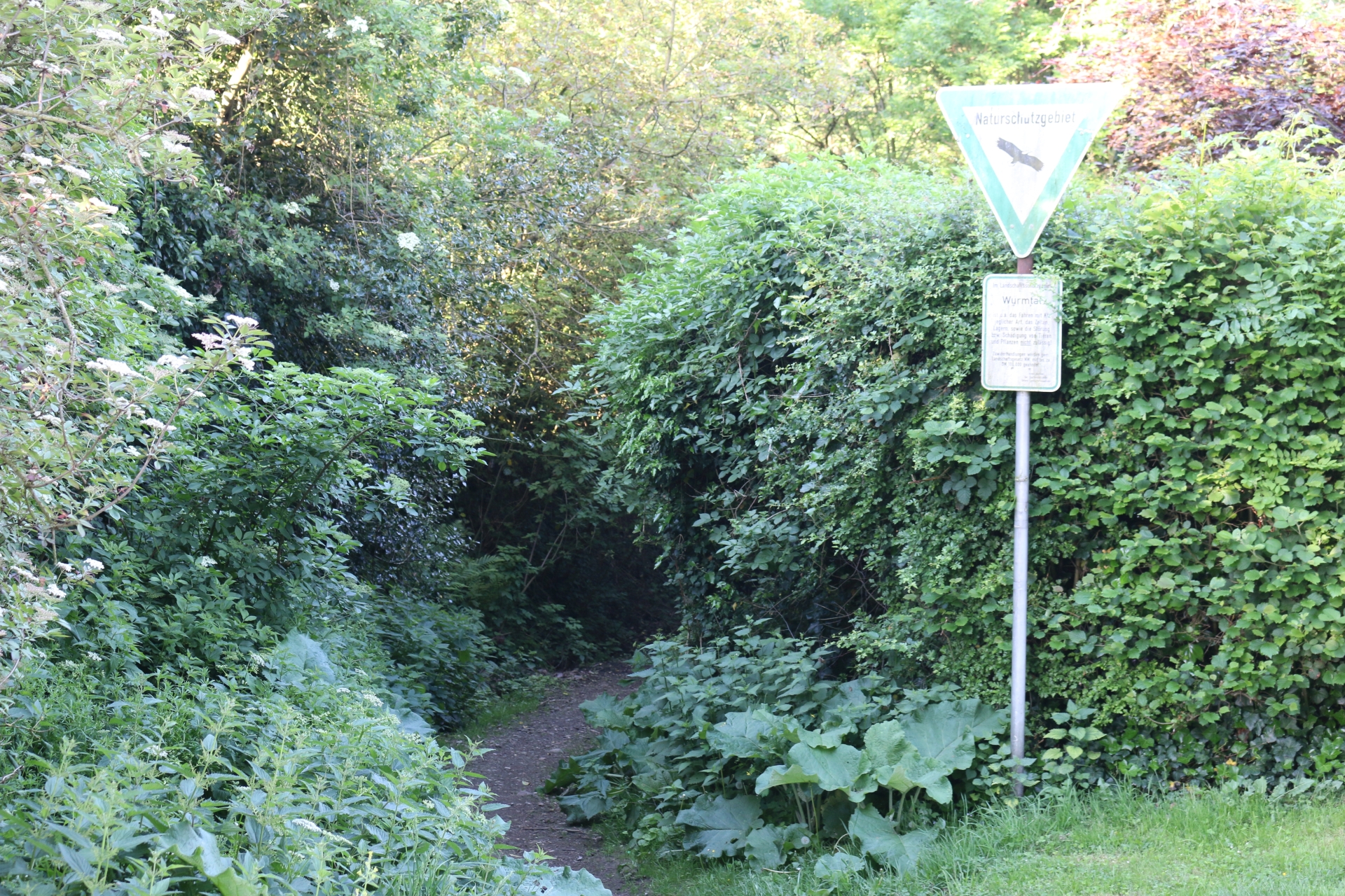
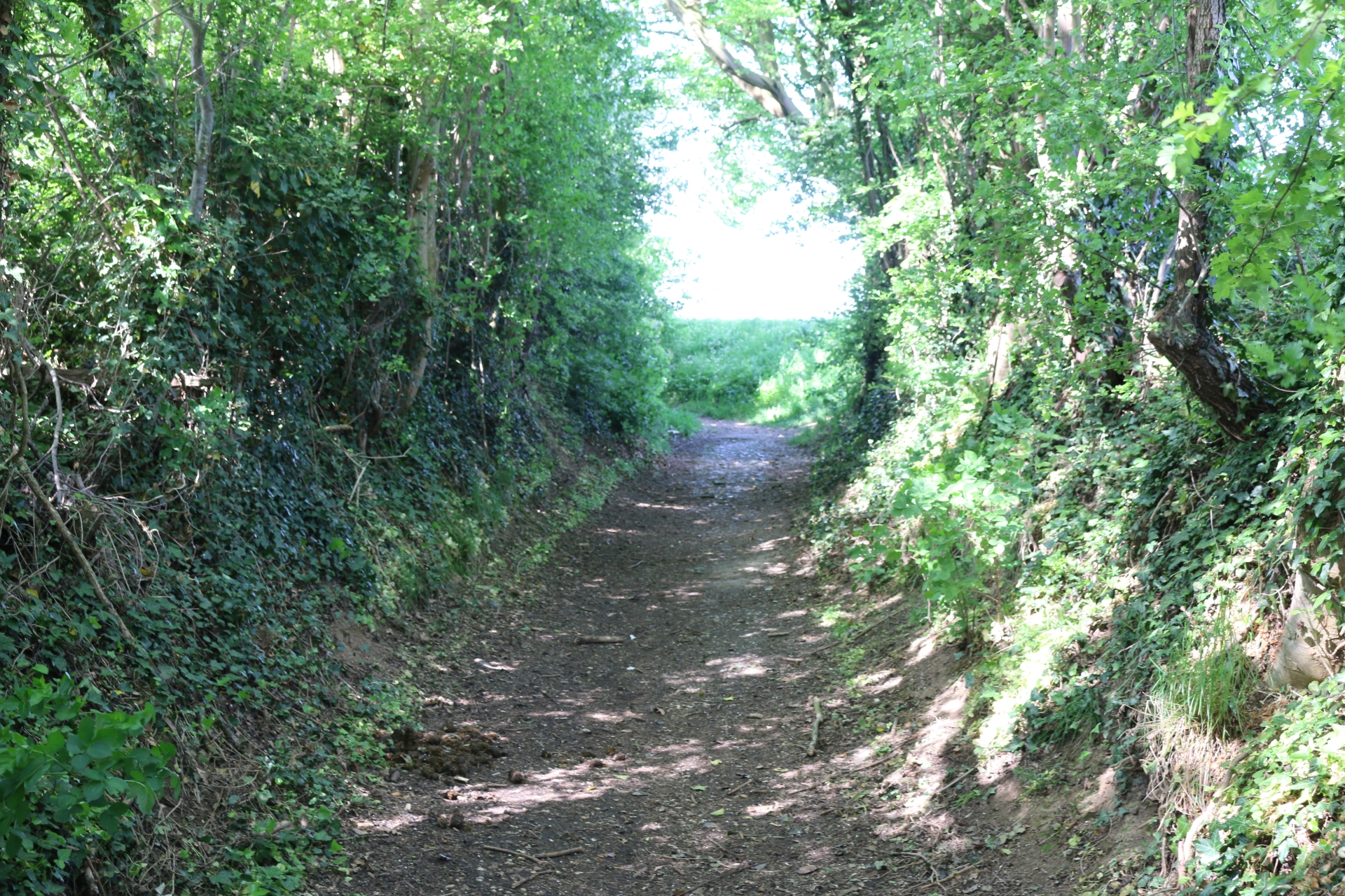
Entrance of a path to the Wurmtal at the Kreuzplatz
Category: General
District: Scherberg
![]() 6,11348° O 50,81789° N
6,11348° O 50,81789° N
30.04.2017, KWH
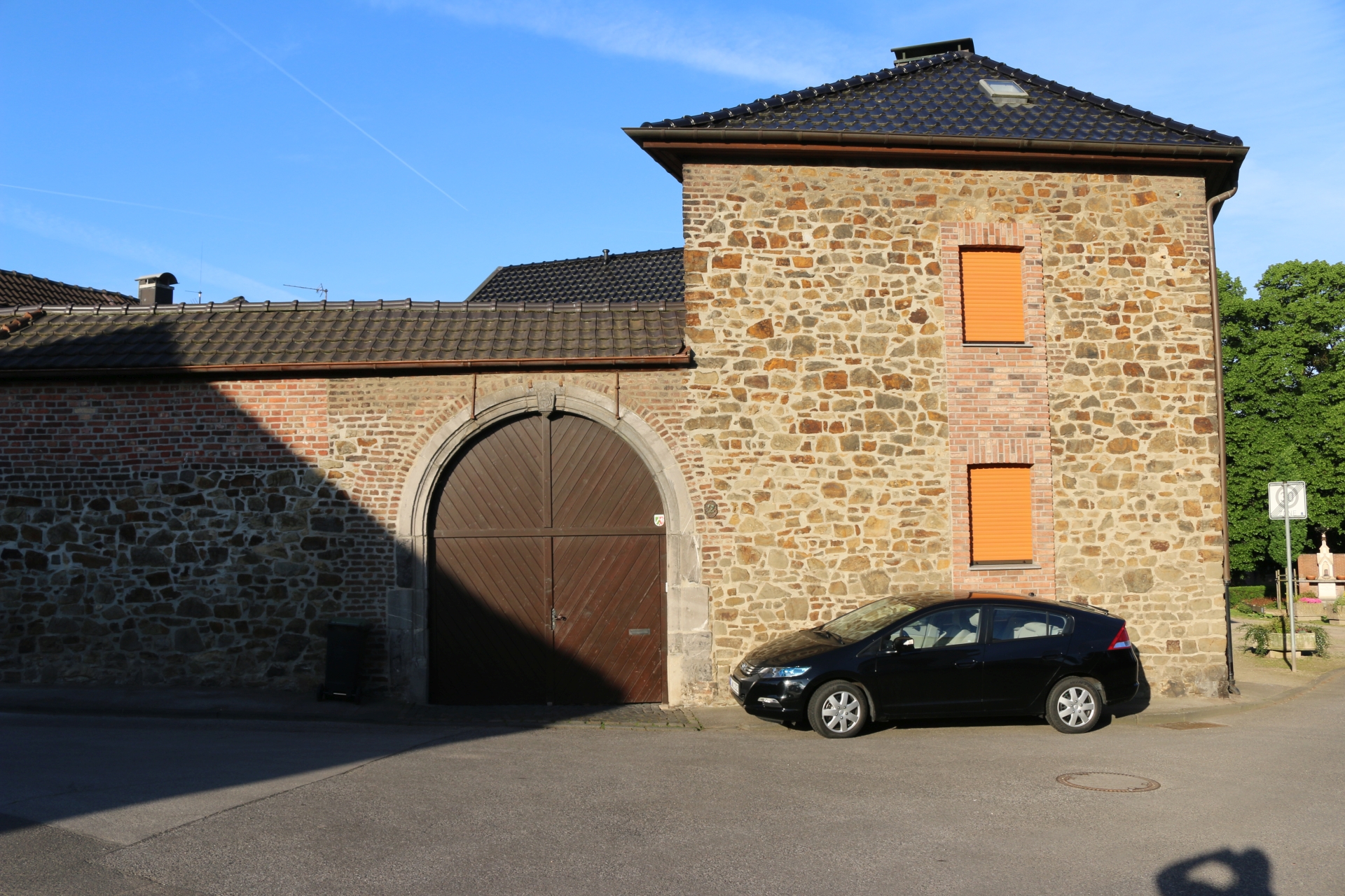
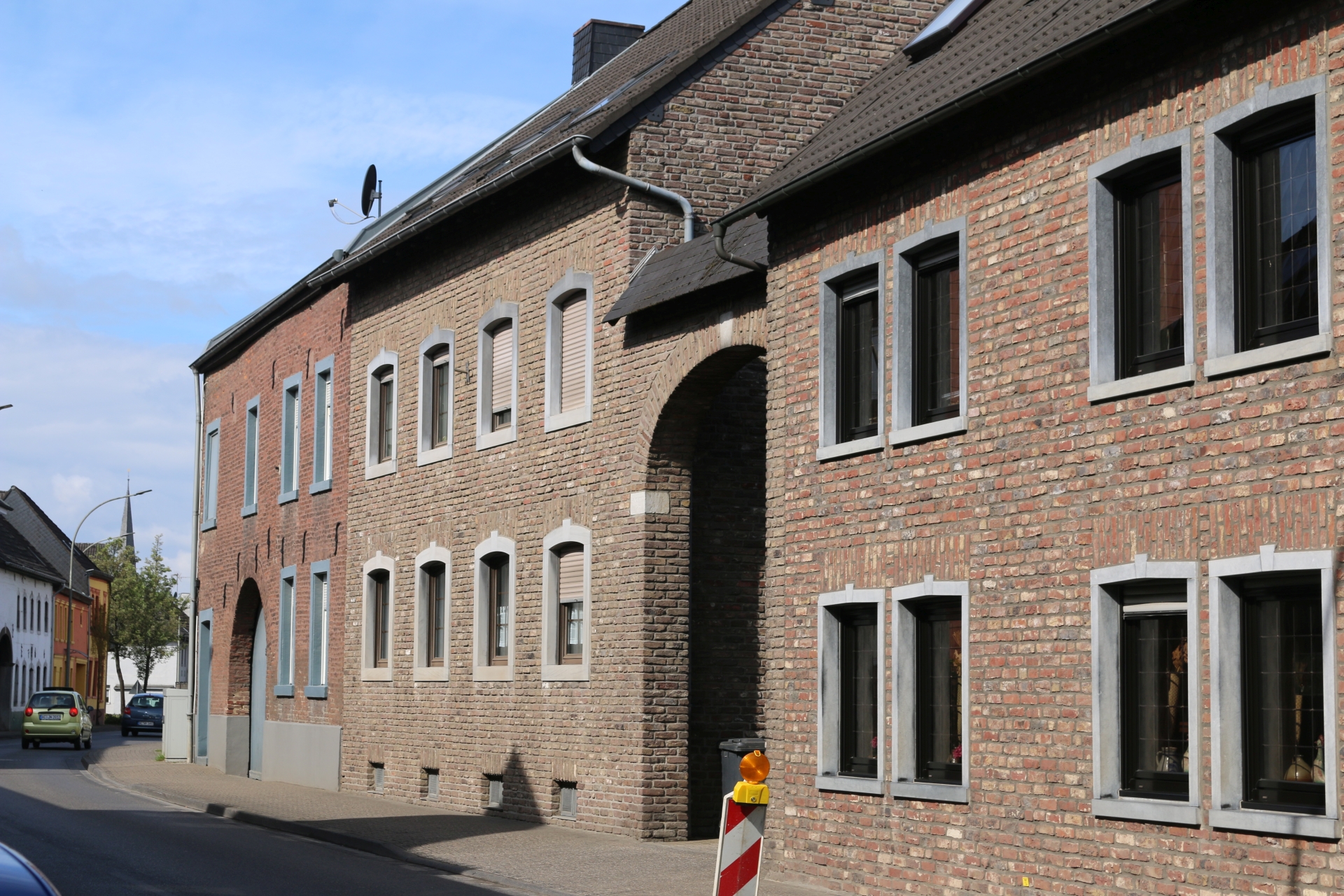
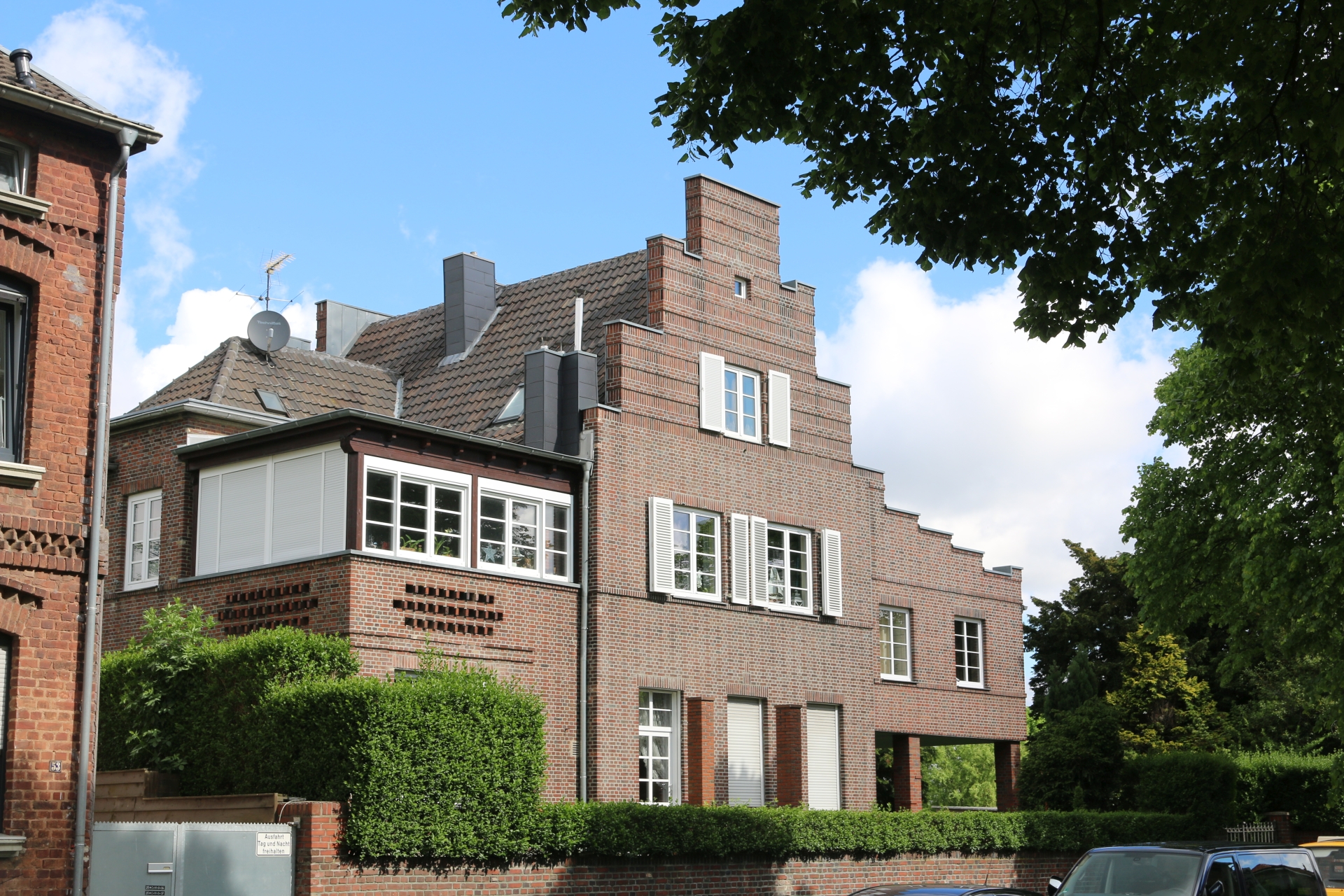
Historic building at the Kreuzplatz
Category: Business
District: Scherberg
![]() 6,11382° O 50,81819° N
6,11382° O 50,81819° N
30.04.2017, KWH
Historic building at the Kreuzplatz
Category: Business
District: Scherberg
![]() 6,11345° O 50,81822° N
6,11345° O 50,81822° N
30.04.2017, KWH
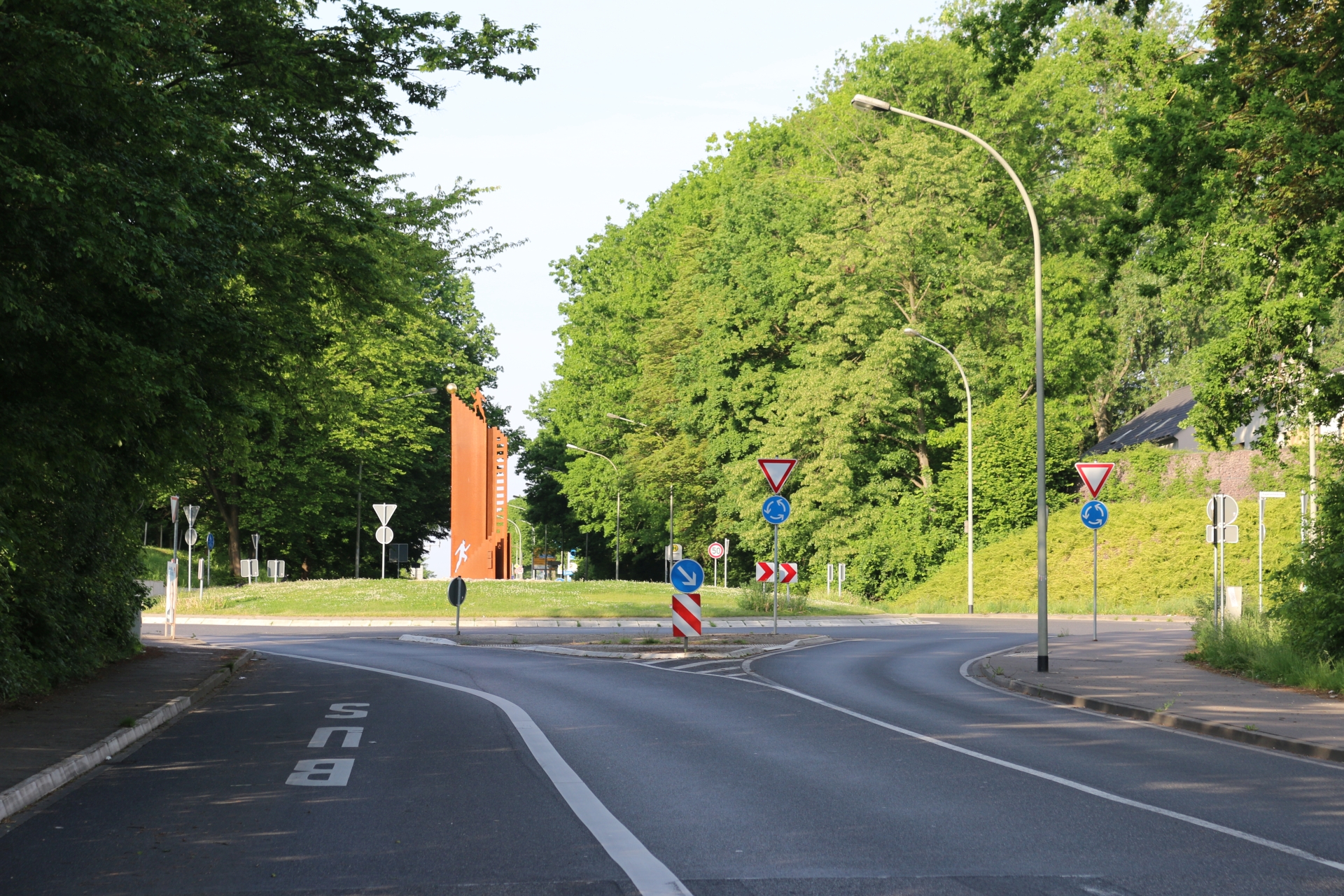
Roundabout Hauptstraße Adeneauerstraße (Industrial area Aachener Kreuz)
Category: Street
District: Weiden
![]() 6,14807° O 50,81129° N
6,14807° O 50,81129° N
30.04.2017, KWH
Hauptstraße at Weiden-Wersch view direction Weiden
Category: Street
District: Weiden
![]() 6,15769° O 50,81829° N
6,15769° O 50,81829° N
30.04.2017, KWH
Hauptstraße at Weiden-Wersch view direction Aachen
Category: Street
District: Weiden
![]() 6,15764° O 50,81827° N
6,15764° O 50,81827° N
30.04.2017, KWH
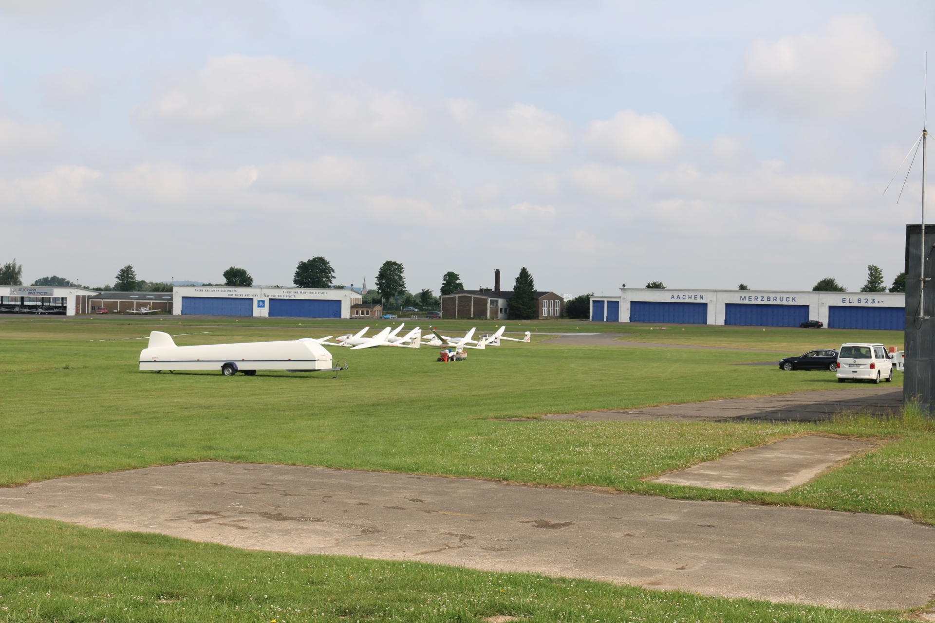
Airfield Merzbrück with tower
Category: Business
District: Merzbrück
![]() 6,19051° O 50,82182° N
6,19051° O 50,82182° N
31.05.2017, KWH
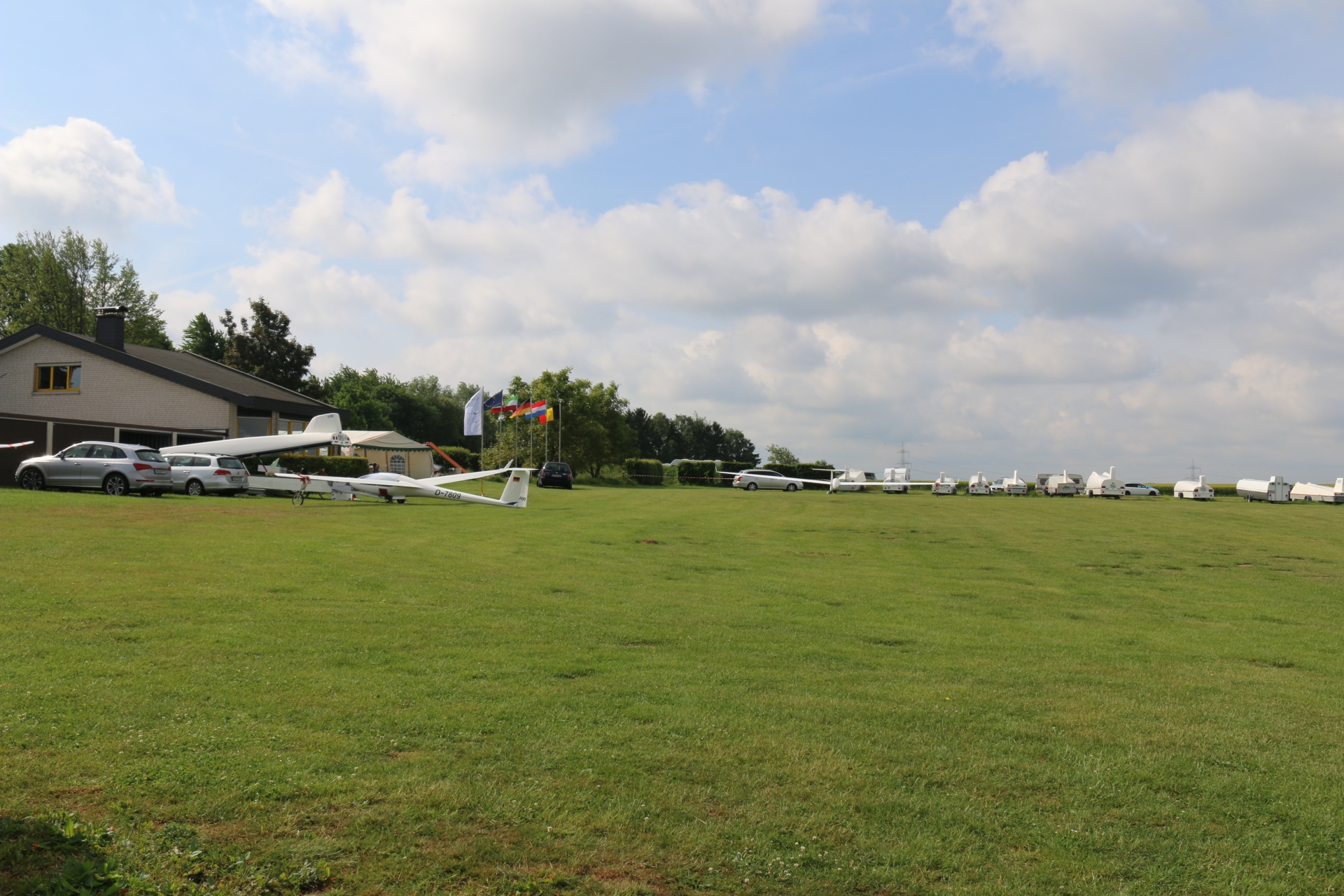
Airfield Merzbrück during EuregioCup 2017
Category: Business
District: Merzbrück
![]() 6,19104° O 50,82172° N
6,19104° O 50,82172° N
31.05.2017, KWH
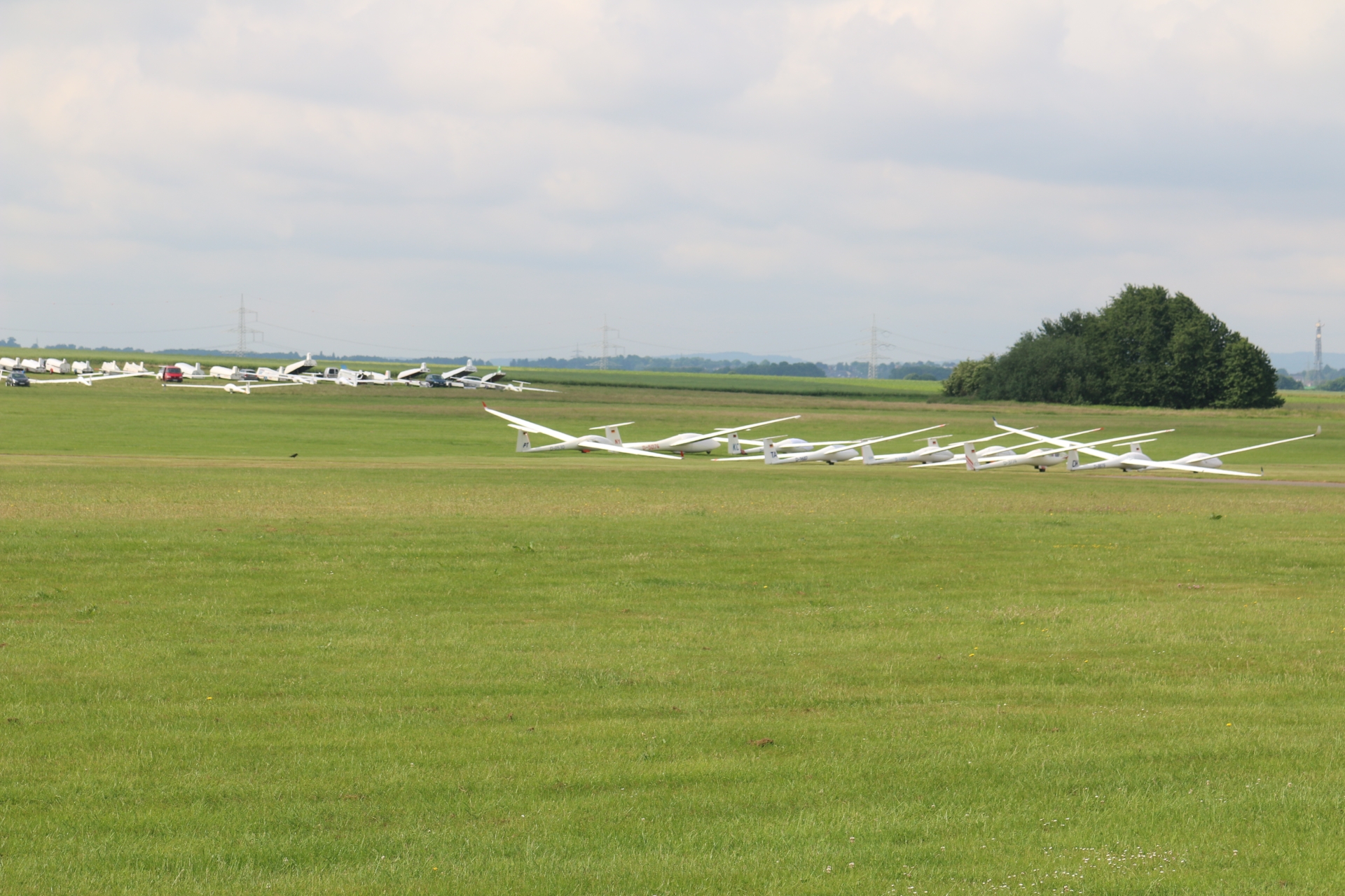
Airfield Merzbrück during EuregioCup 2018
Category: Business
District: Merzbrück
![]() 6,19001° O 50,82181° N
6,19001° O 50,82181° N
31.05.2017, KWH
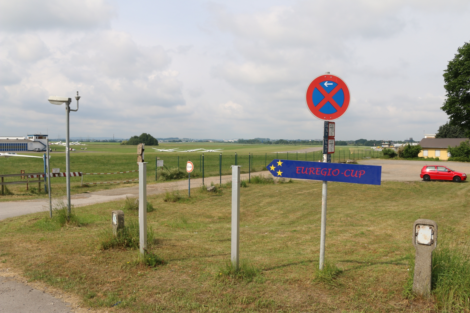
Airfield Merzbrück during EuregioCup 2019
Category: Business
District: Merzbrück
![]() 6,19254° O 50,82419° N
6,19254° O 50,82419° N
31.05.2017, KWH
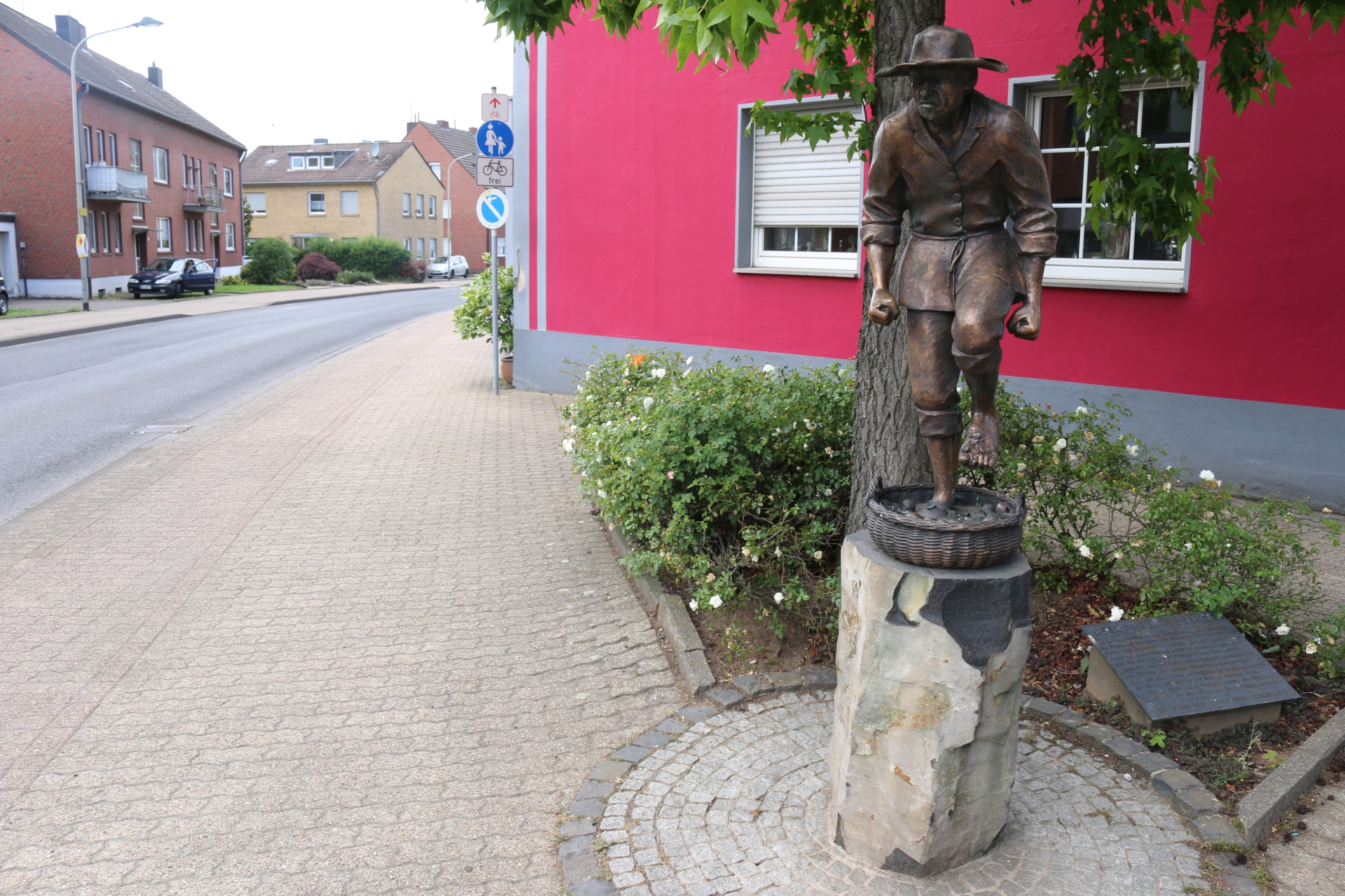
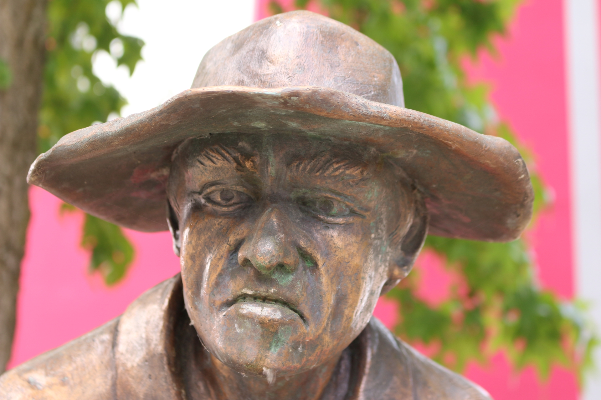
Monument Jeel Puet (face)
Category: Monument
District: Bardenberg
![]() 6,1162° O 50,83802° N
6,1162° O 50,83802° N
31.05.2017, KWH
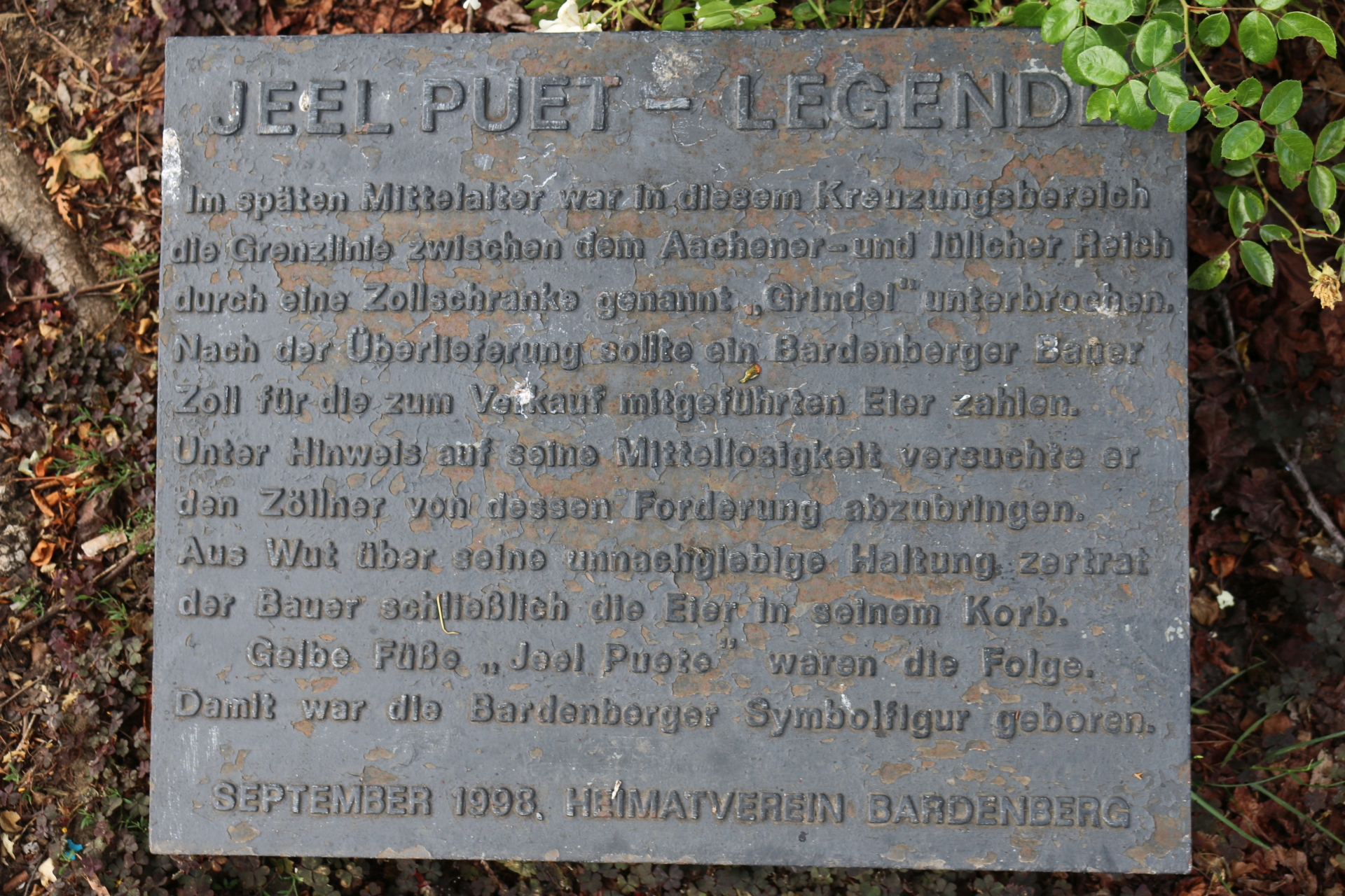
Monument Jeel Puet (memorial tablet)
Category: Monument
District: Bardenberg
![]() 6,11628° O 50,838° N
6,11628° O 50,838° N
31.05.2017, KWH
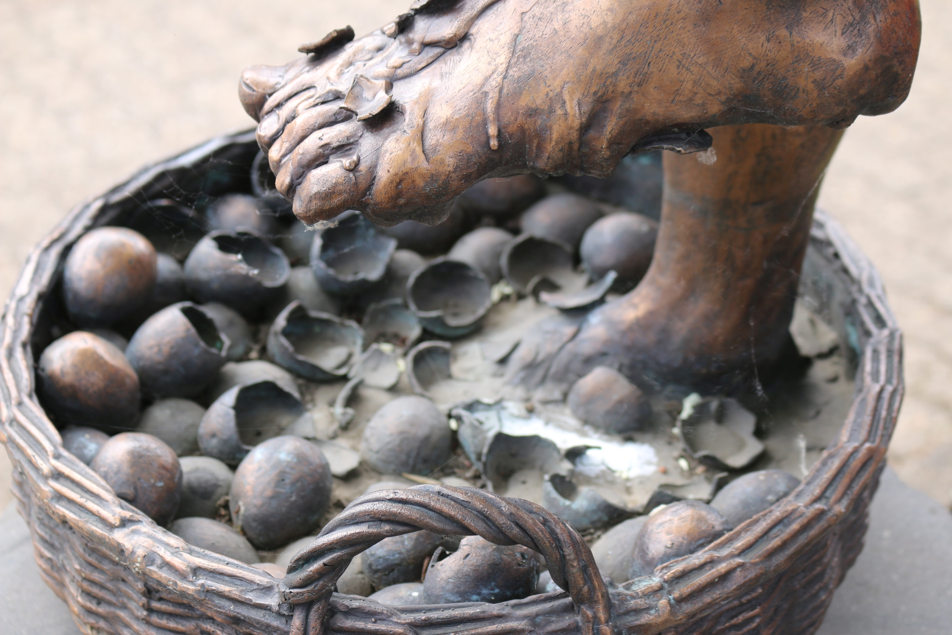
Monument Jeel Puet (baket with eggs)
Category: Monument
District: Bardenberg
![]() 6,11627° O 50,83804° N
6,11627° O 50,83804° N
31.05.2017, KWH
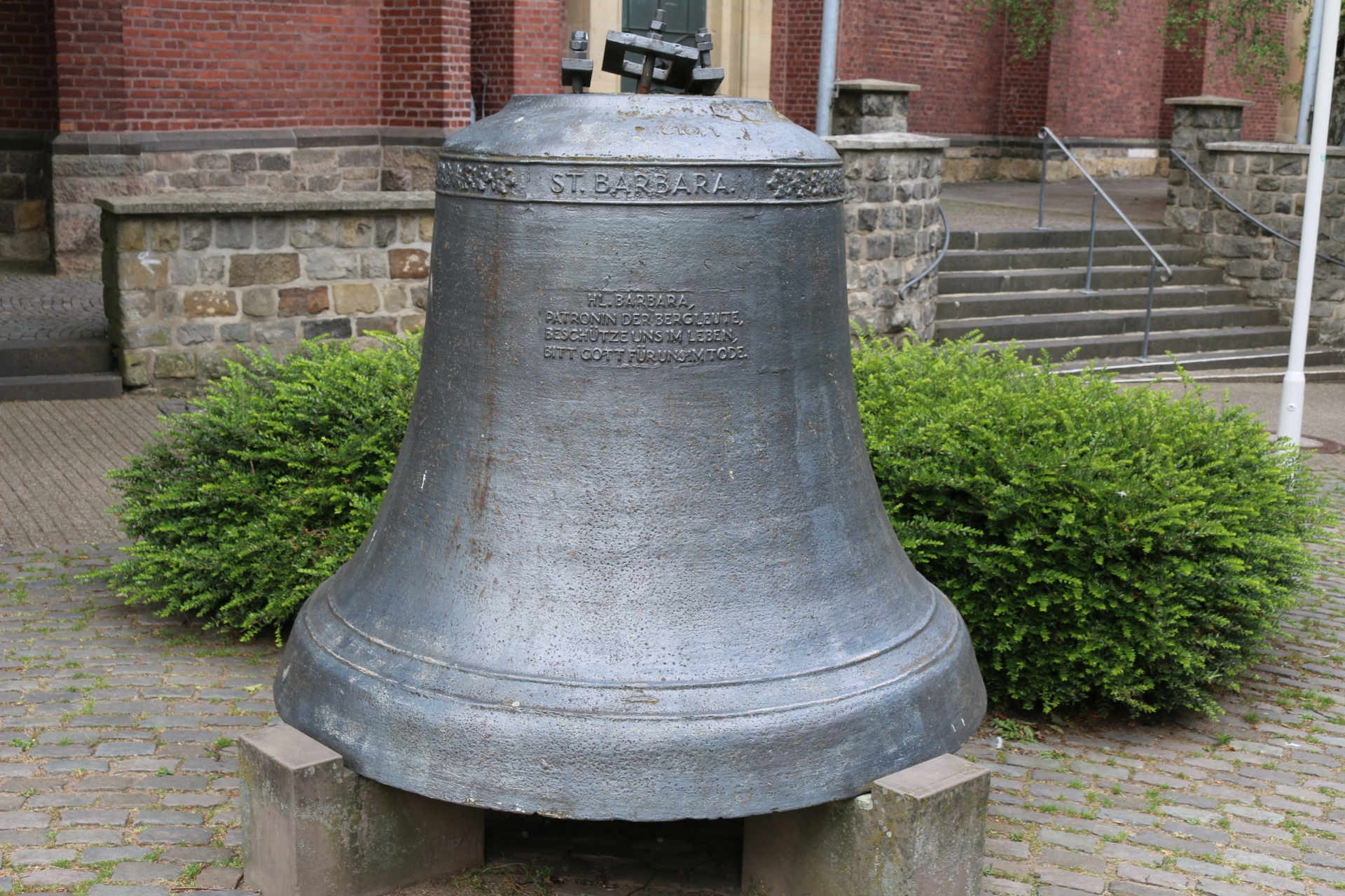
St. Barbara bell in front of the church St. Peter and Paul
Category: Church
District: Bardenberg
![]() 6,11519° O 50,84114° N
6,11519° O 50,84114° N
31.05.2017, KWH
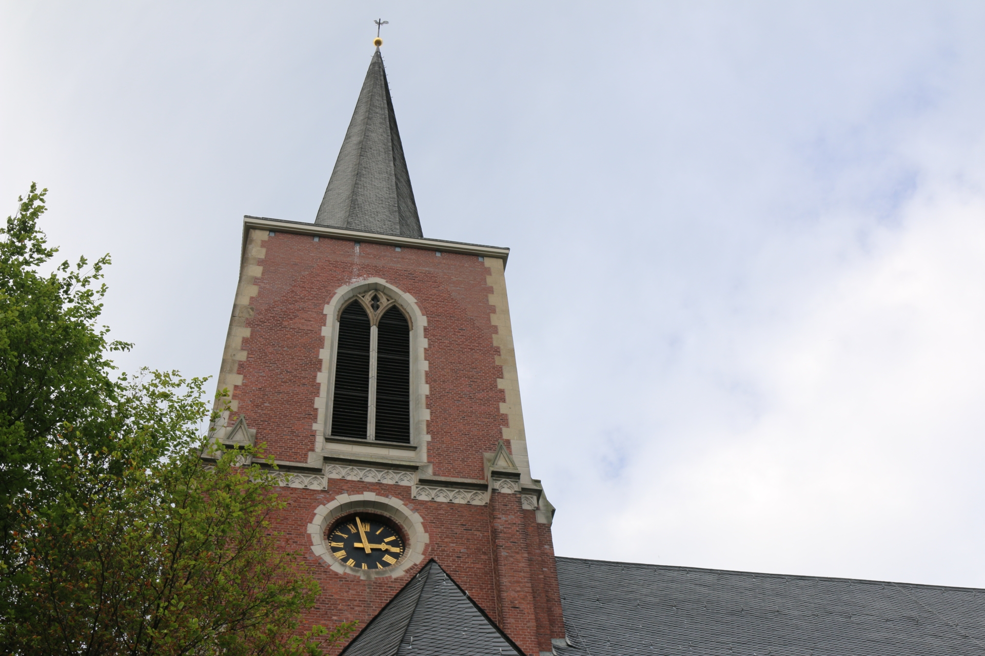
Tower of the church St. Peter und Paul
Category: Church
District: Bardenberg
![]() 6,11518° O 50,84117° N
6,11518° O 50,84117° N
31.05.2017, KWH
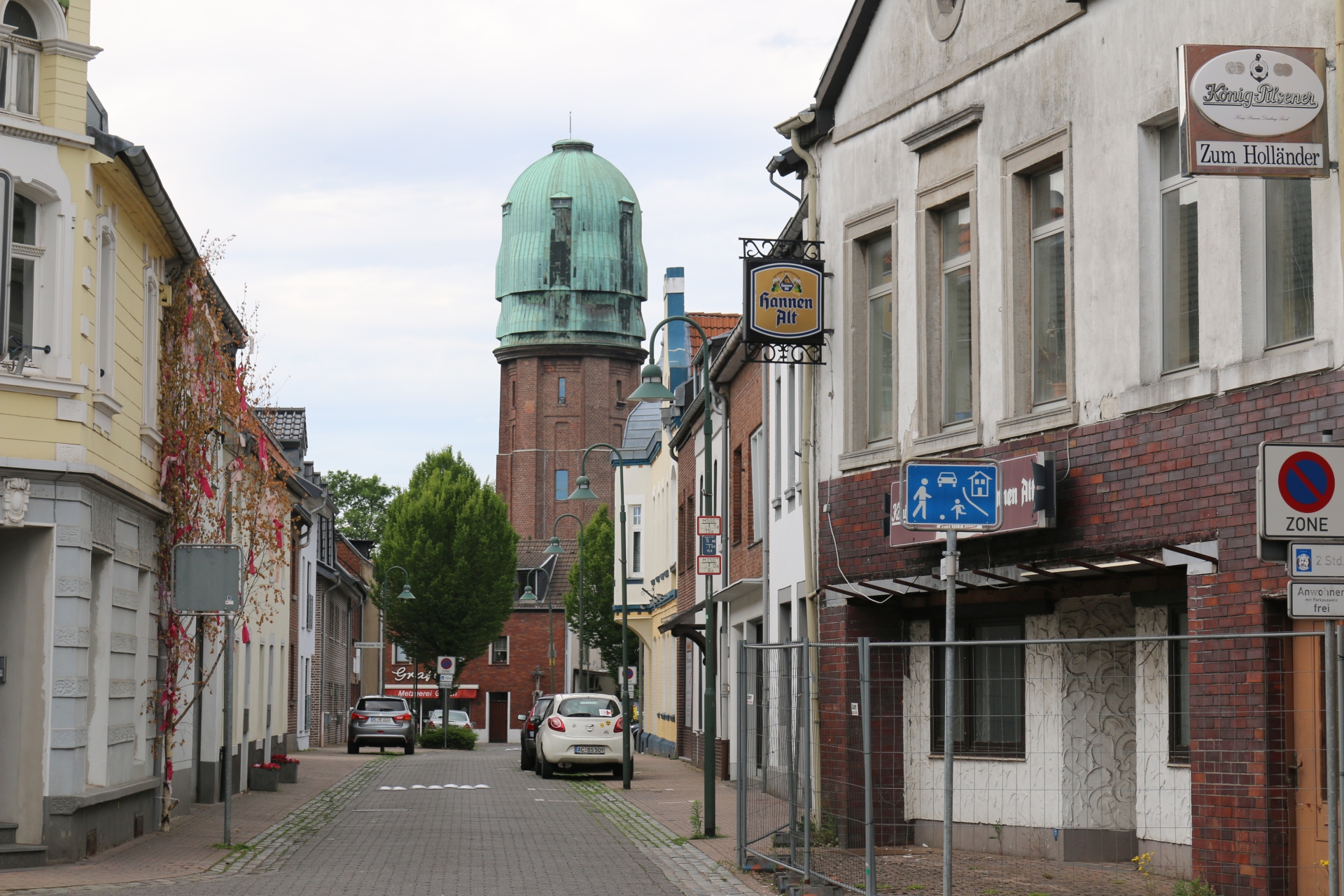
Water tower of Bardenberg
Category: Business
District: Bardenberg
![]() 6,11398° O 50,84128° N
6,11398° O 50,84128° N
31.05.2017, KWH
Karneval monument in Bardenberg
Category: Monument
District: Bardenberg
![]() 6,11543° O 50,84068° N
6,11543° O 50,84068° N
31.05.2017, KWH
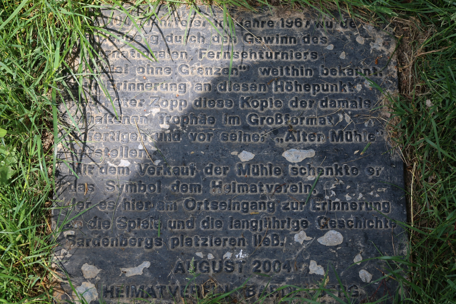
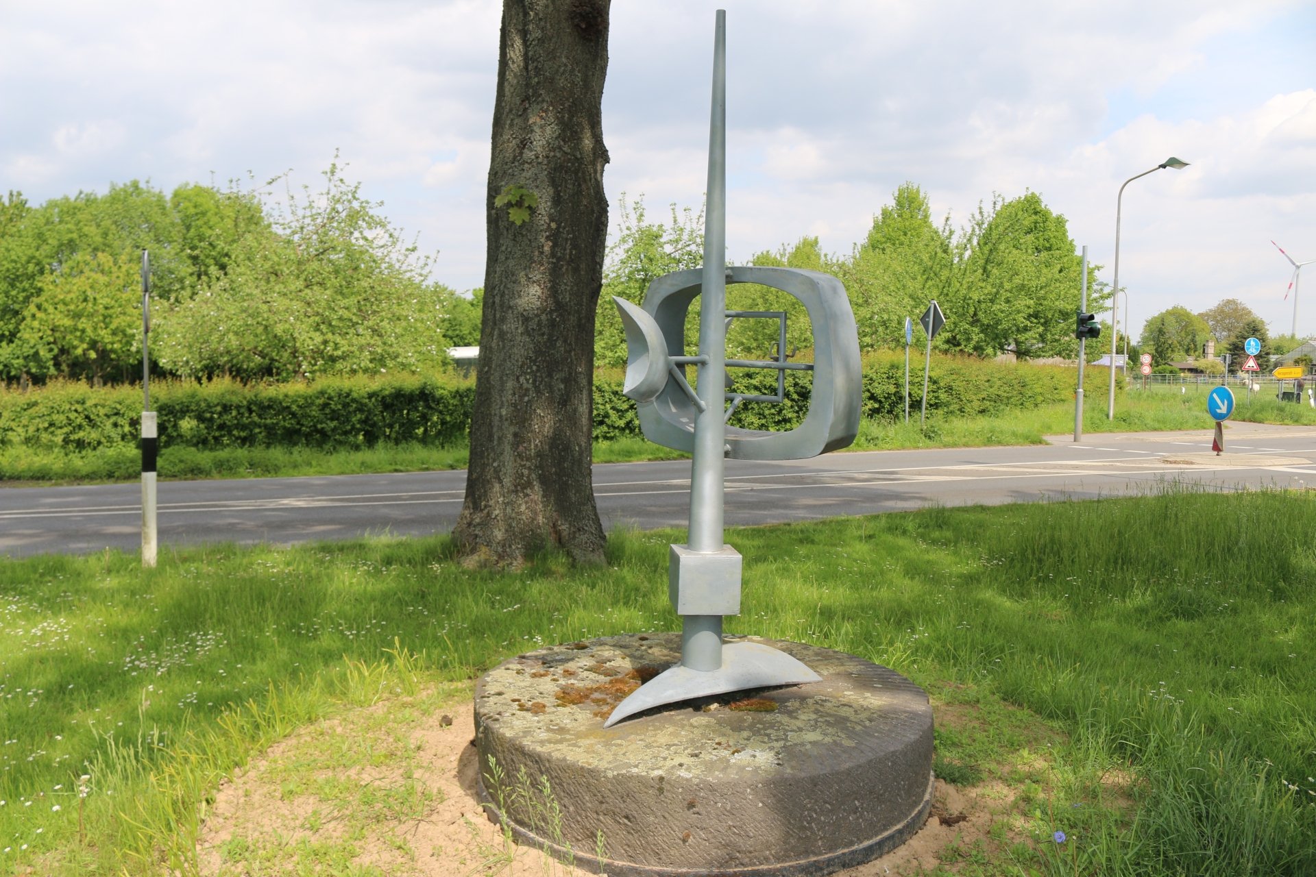
Reproduction of the trophy for the victory of Bardenberg in the contest Jeux Sans Frontières
Category: Monument
District: Bardenberg
![]() 6,11882° O 50,8433° N
6,11882° O 50,8433° N
30.04.2015, KWH
Memorial tablet of the trophy for the victory of Bardenberg in the contest Jeux Sans Frontières
Category: Monument
District: Bardenberg
![]() 6,11872° O 50,84329° N
6,11872° O 50,84329° N
30.04.2015, KWH
Theater Burg Wilhelmstein
Category: Business
District: Bardenberg
![]() 6,10181° O 50,84182° N
6,10181° O 50,84182° N
30.09.2015, KWH
Burg Wilhelmstein (Castle)
Category: Business
District: Bardenberg
![]() 6,10194° O 50,84194° N
6,10194° O 50,84194° N
30.09.2015, KWH
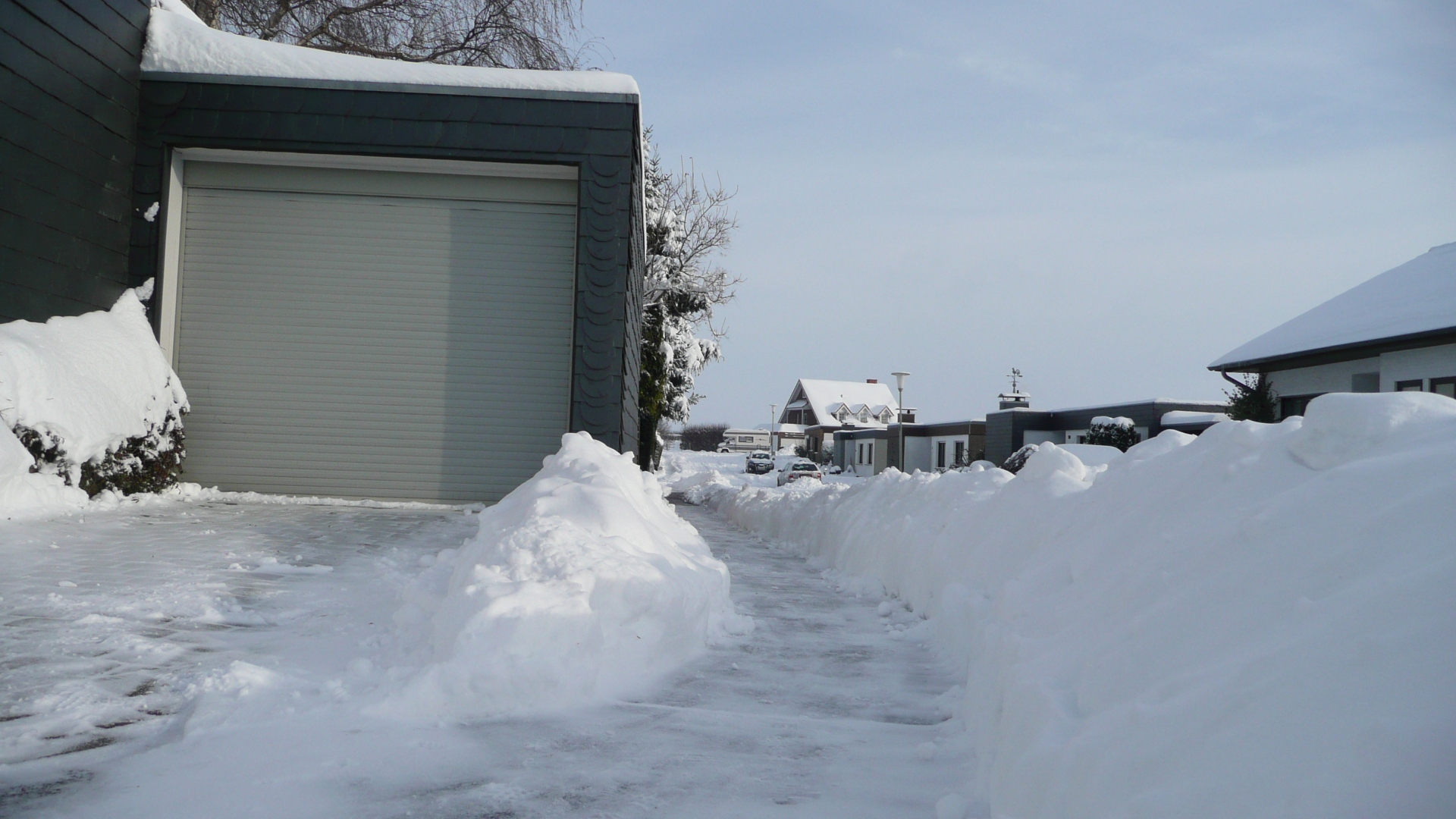
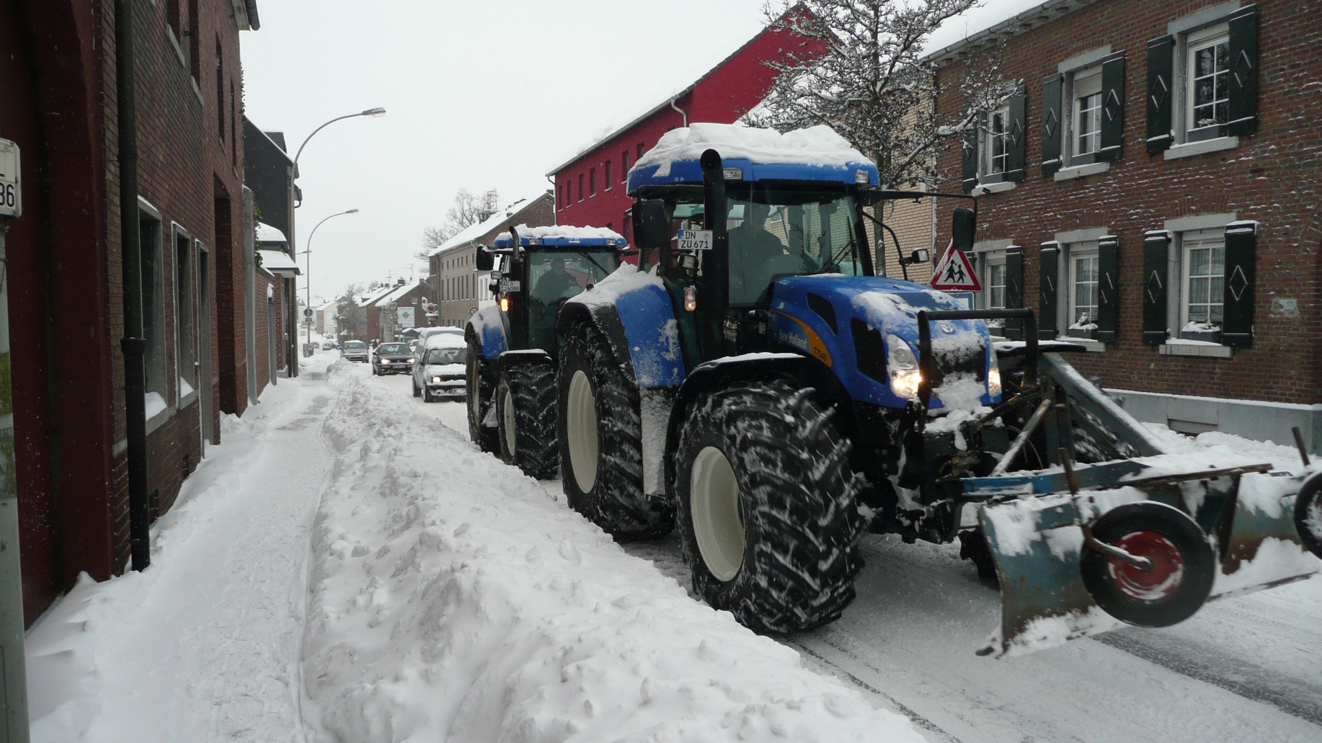
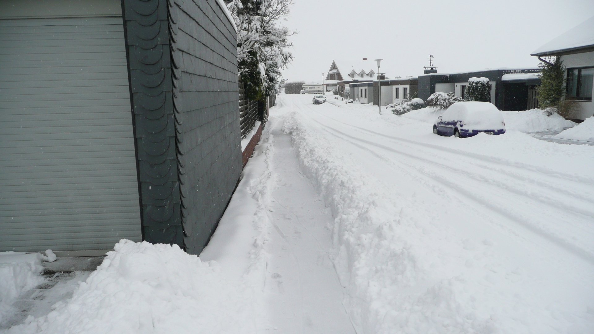
Snowy winter 2010 tractors as snowplough
Category: Street
District: Linden
![]() 6,17918° O 50,83728° N
6,17918° O 50,83728° N
30.11.2010, KWH
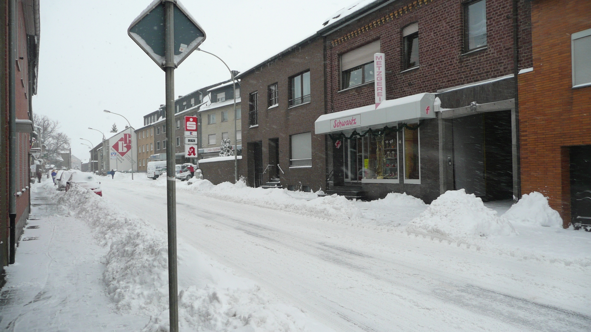
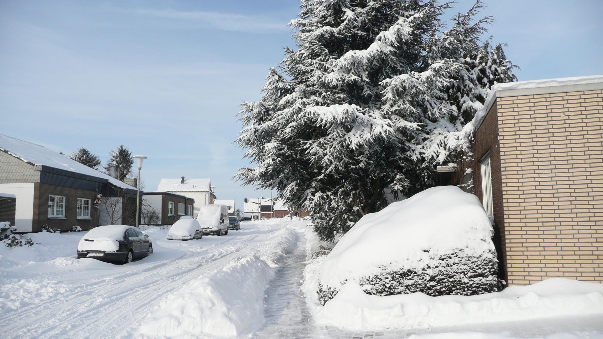
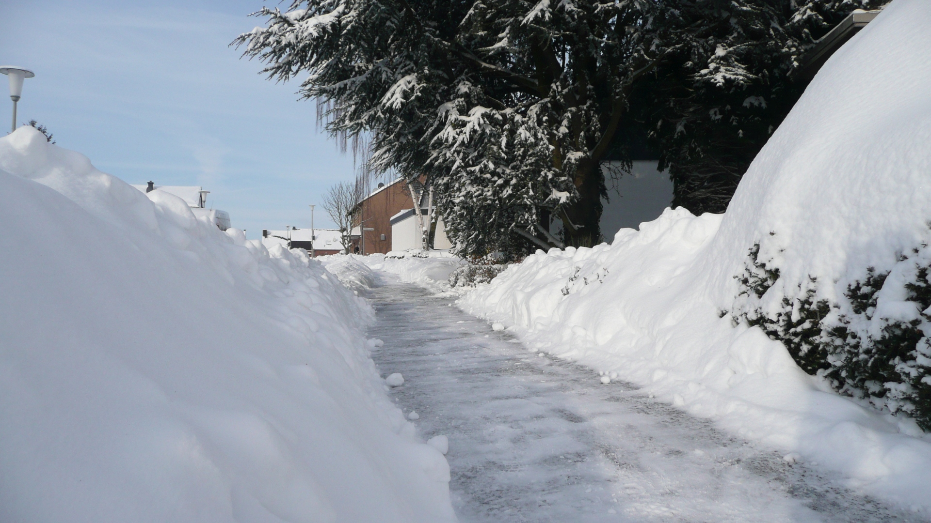
Snowy winter 2010 at Lindener Straße towards Neusen
Category: Street
District: Linden
![]() 6,17958° O 50,83757° N
6,17958° O 50,83757° N
30.11.2010, KWH
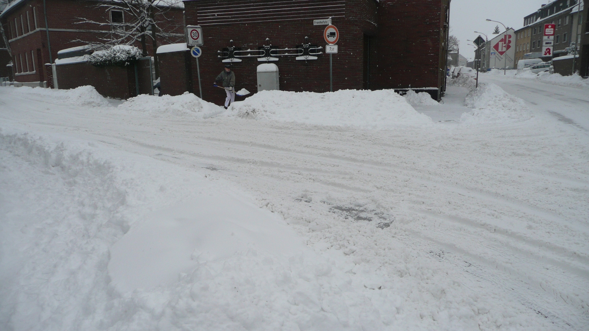
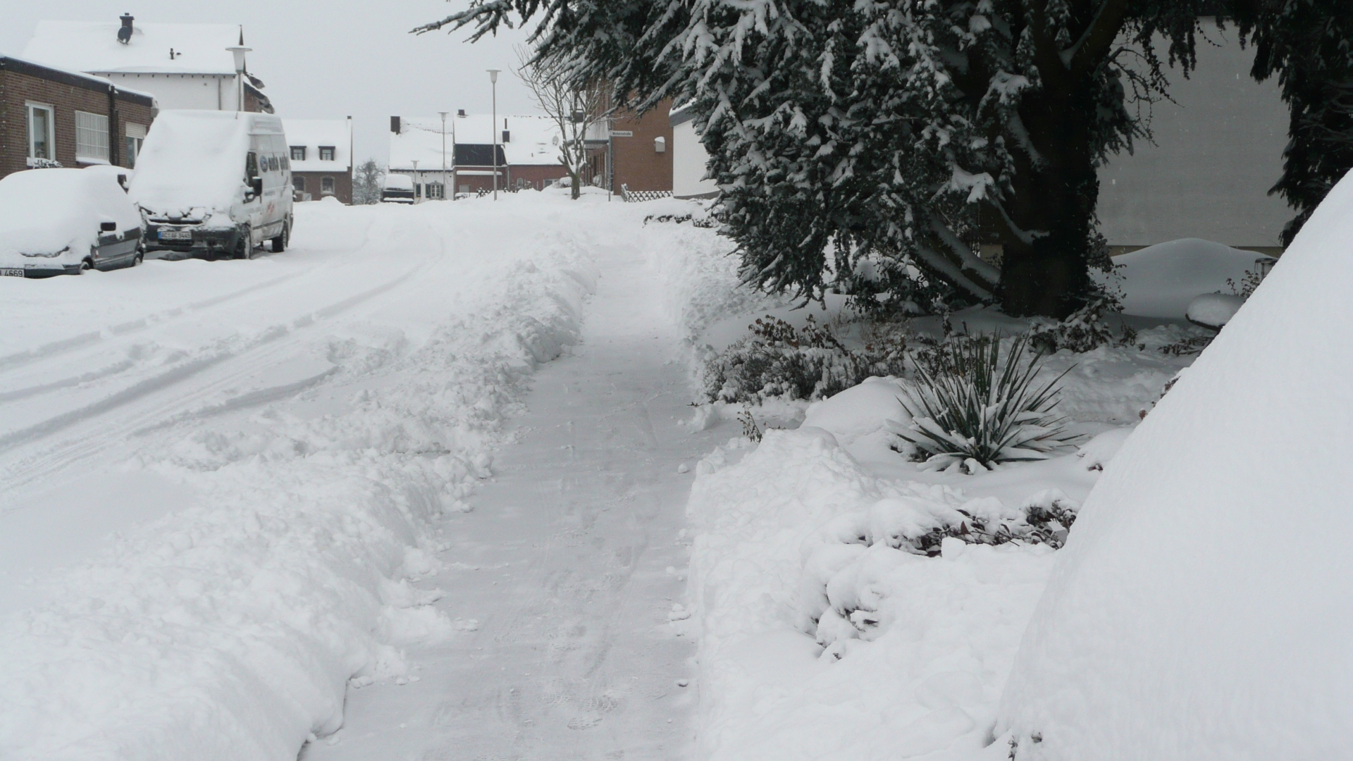
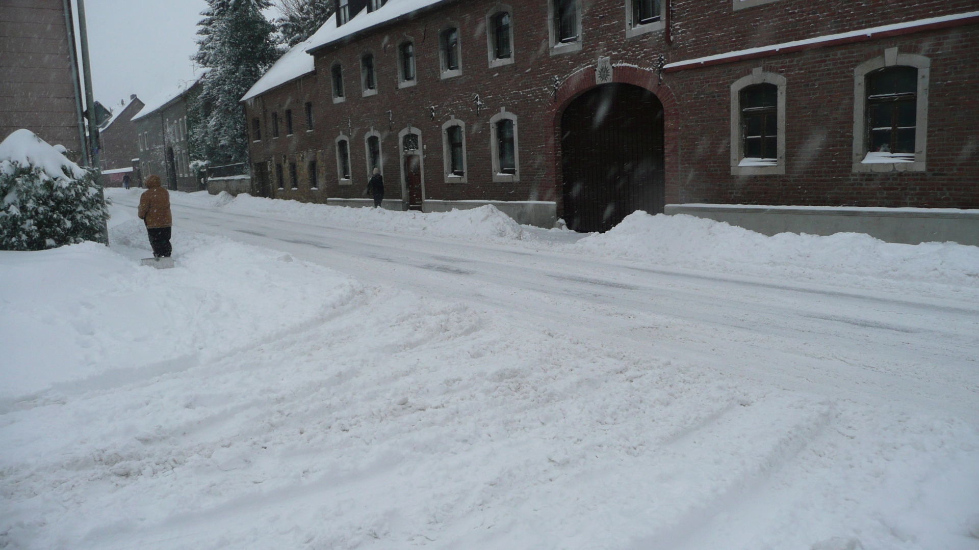
Snowy winter 2010 snow clearing on Fronhof Straße
Category: Street
District: Linden
![]() 6,17946° O 50,83751° N
6,17946° O 50,83751° N
30.11.2010, KWH
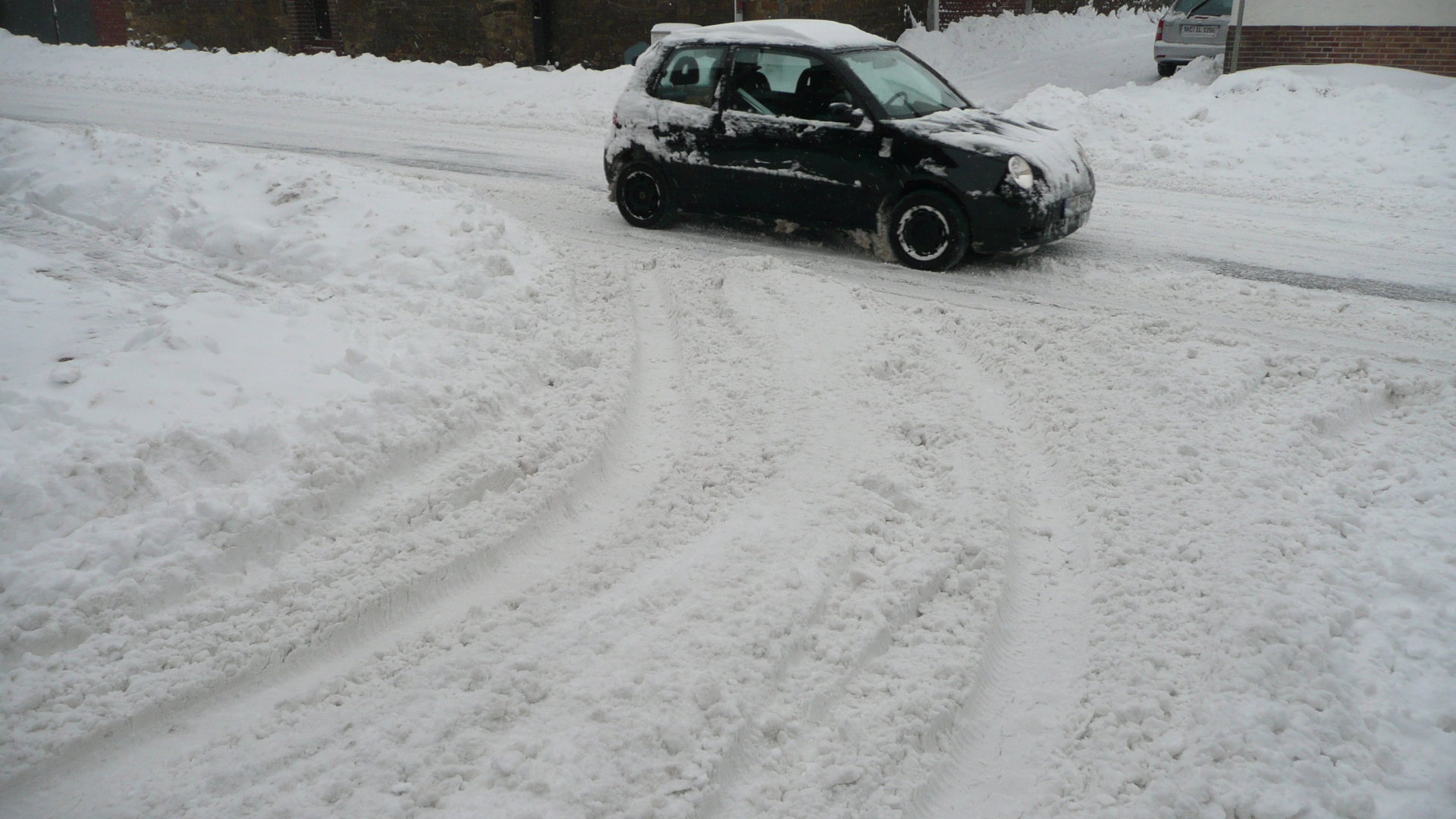
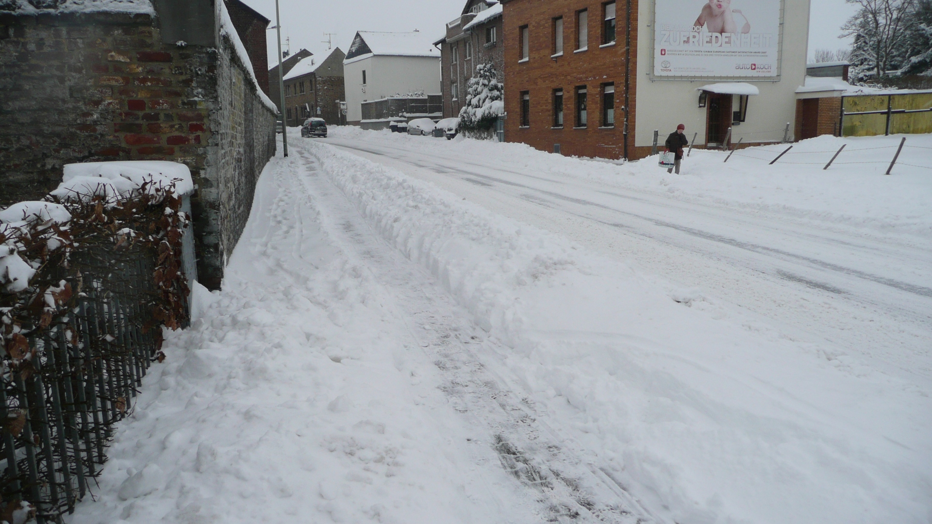
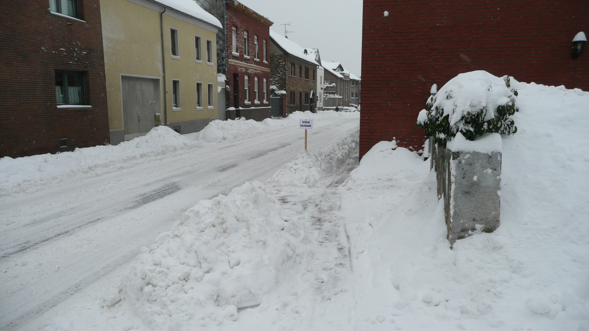
Snowy winter 2010 Römerweg T-junction to Lindener Straße
Category: Street
District: Linden
![]() 6,17492° O 50,83354° N
6,17492° O 50,83354° N
30.11.2010, KWH
Snowy winter 2010 Kolpingstraße towards Römerweg
Category: Street
District: Linden
![]() 6,17522° O 50,83364° N
6,17522° O 50,83364° N
30.11.2010, KWH
Snowy winter 2010 snow maases at the side walk Kolpingstraße
Category: Street
District: Linden
![]() 6,17509° O 50,83365° N
6,17509° O 50,83365° N
30.11.2010, KWH
Snowy winter 2010 in the Kolpingstraße
Category: Street
District: Linden
![]() 6,17503° O 50,8337° N
6,17503° O 50,8337° N
30.11.2010, KWH
Snowy winter 2010 Lindener Straße towards Fronhofstraße
Category: Street
District: Linden
![]() 6,17908° O 50,83722° N
6,17908° O 50,83722° N
30.11.2010, KWH
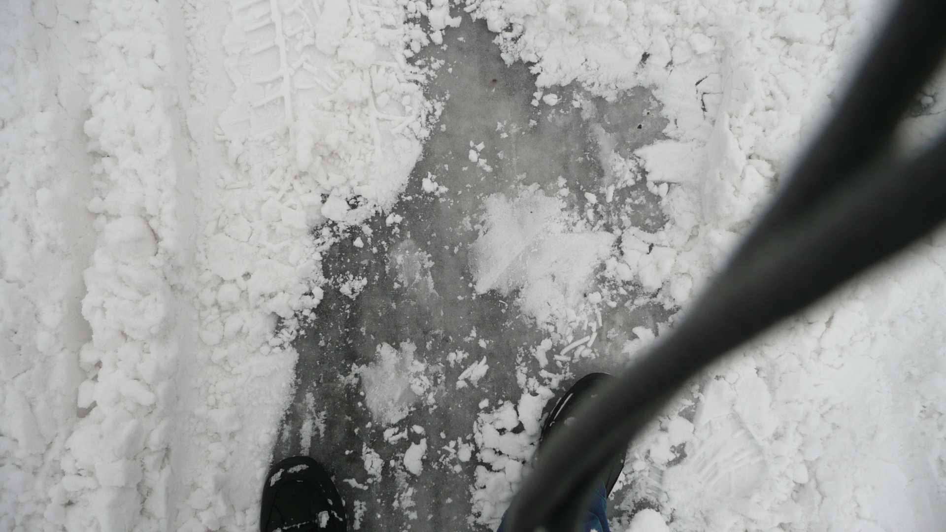
Snowy winter 2010 thick ice beyond the snow cover of the Fronhofstraße
Category: Street
District: Linden
![]() 6,17955° O 50,83749° N
6,17955° O 50,83749° N
30.11.2010, KWH
Snowy winter 2010 St. Nikolaus from Lindener Staraße
Category: Street
District: Linden
![]() 6,17936° O 50,83744° N
6,17936° O 50,83744° N
30.11.2010, KWH
Snowy winter 2010 Lindener Straße T-junction Kolpingstraße
Category: Street
District: Linden
![]() 6,17367° O 50,83458° N
6,17367° O 50,83458° N
30.11.2010, KWH
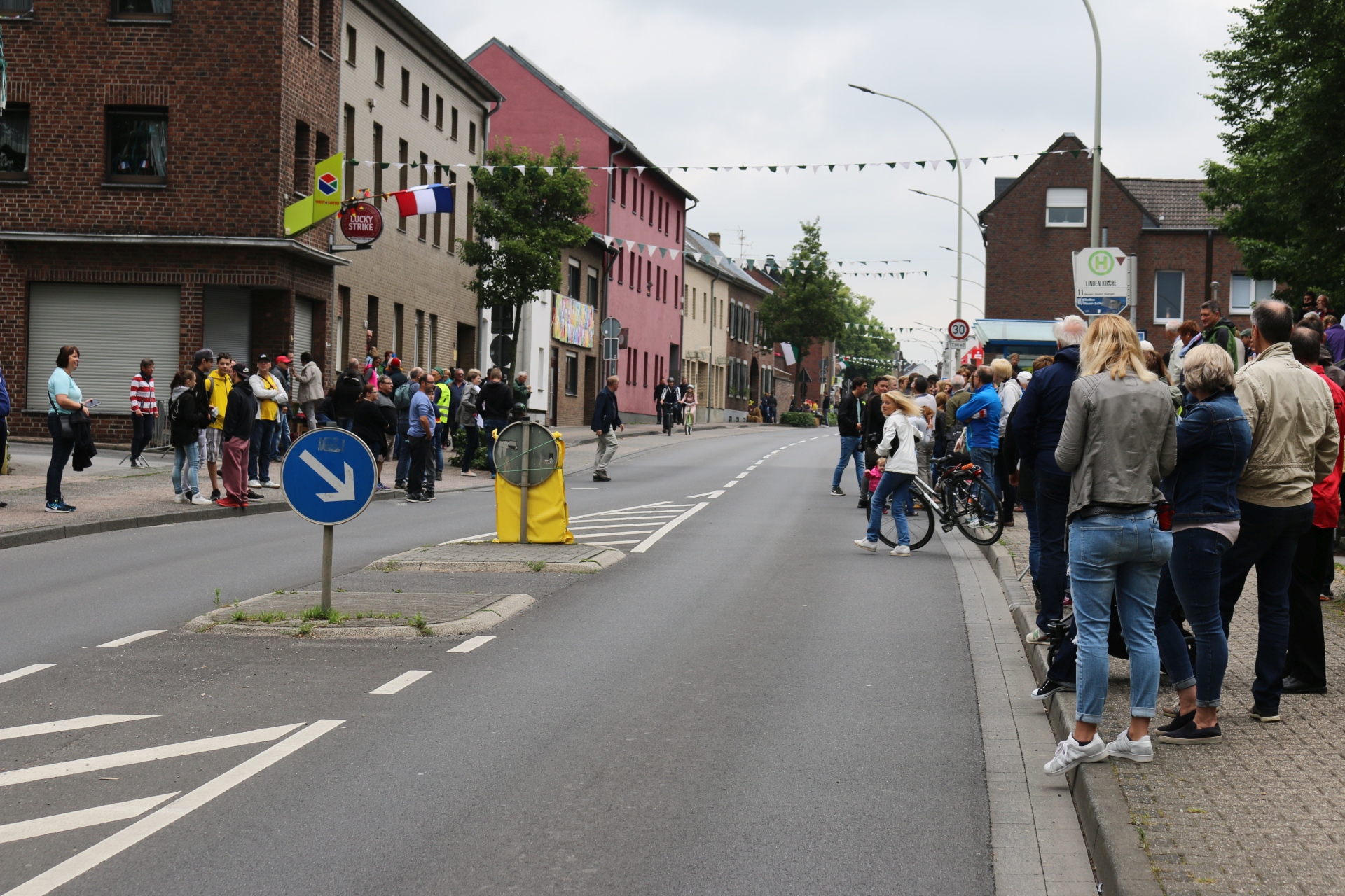
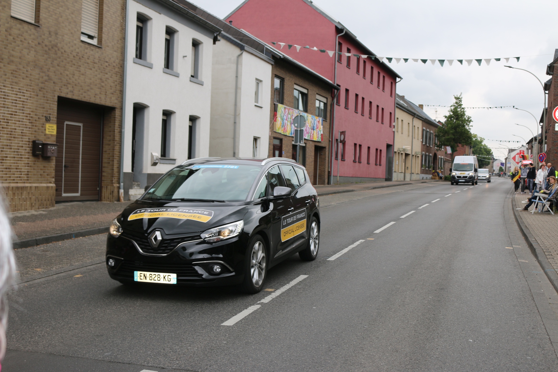
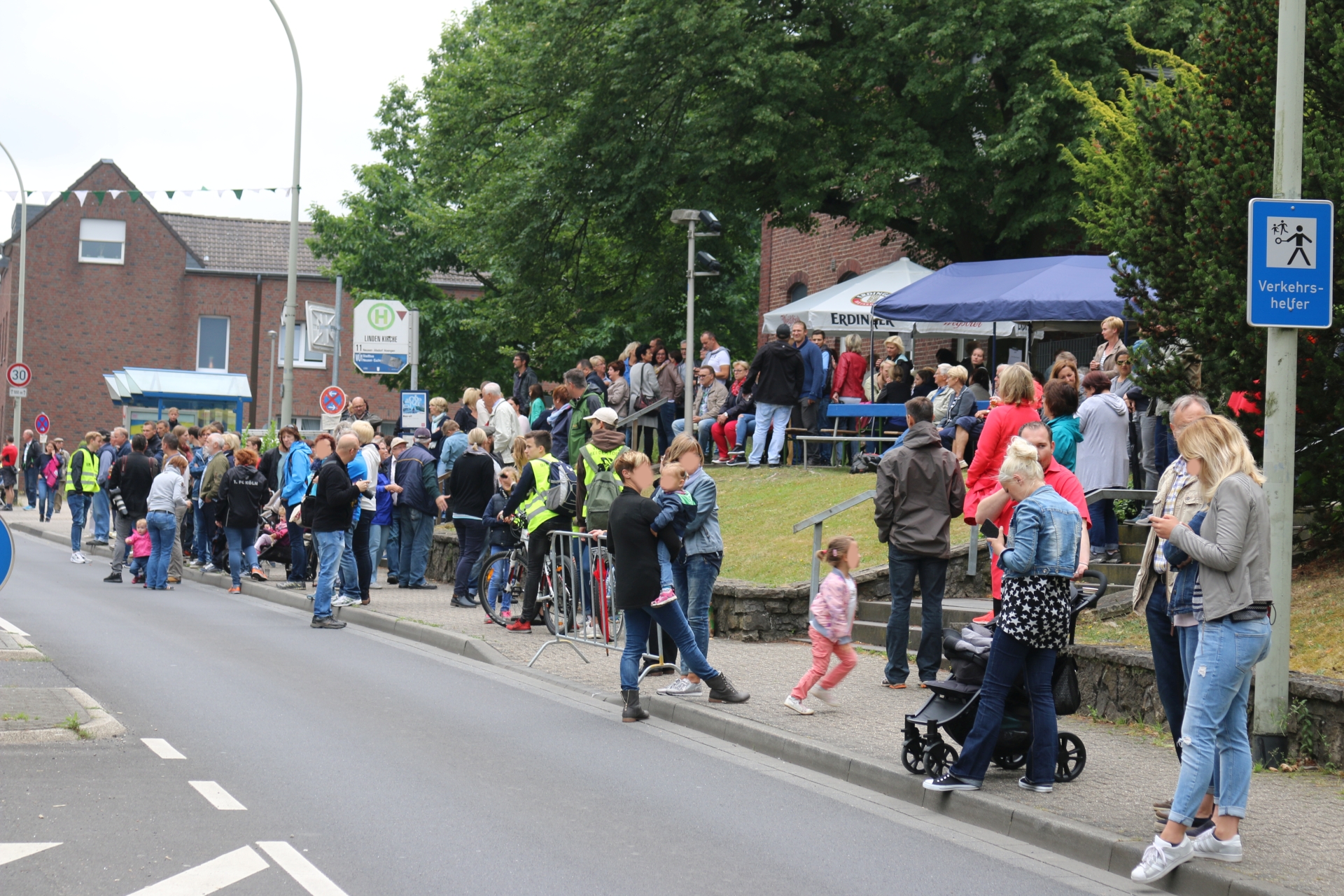
Festivity in Linden-Neusen Tor de France
Category: Street
District: Linden
![]() 6,17772° O 50,83666° N
6,17772° O 50,83666° N
30.06.2017, KWH
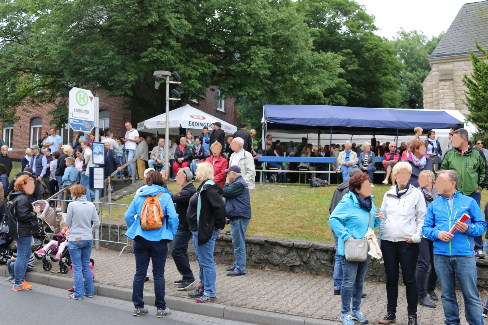
Festivity in Linden-Neusen Tor de France
Category: Street
District: Linden
![]() 6,17853° O 50,837° N
6,17853° O 50,837° N
30.06.2017, KWH
Festivity in Linden-Neusen Tor de France
Category: Street
District: Linden
![]() 6,18734° O 50,84178° N
6,18734° O 50,84178° N
30.06.2017, KWH
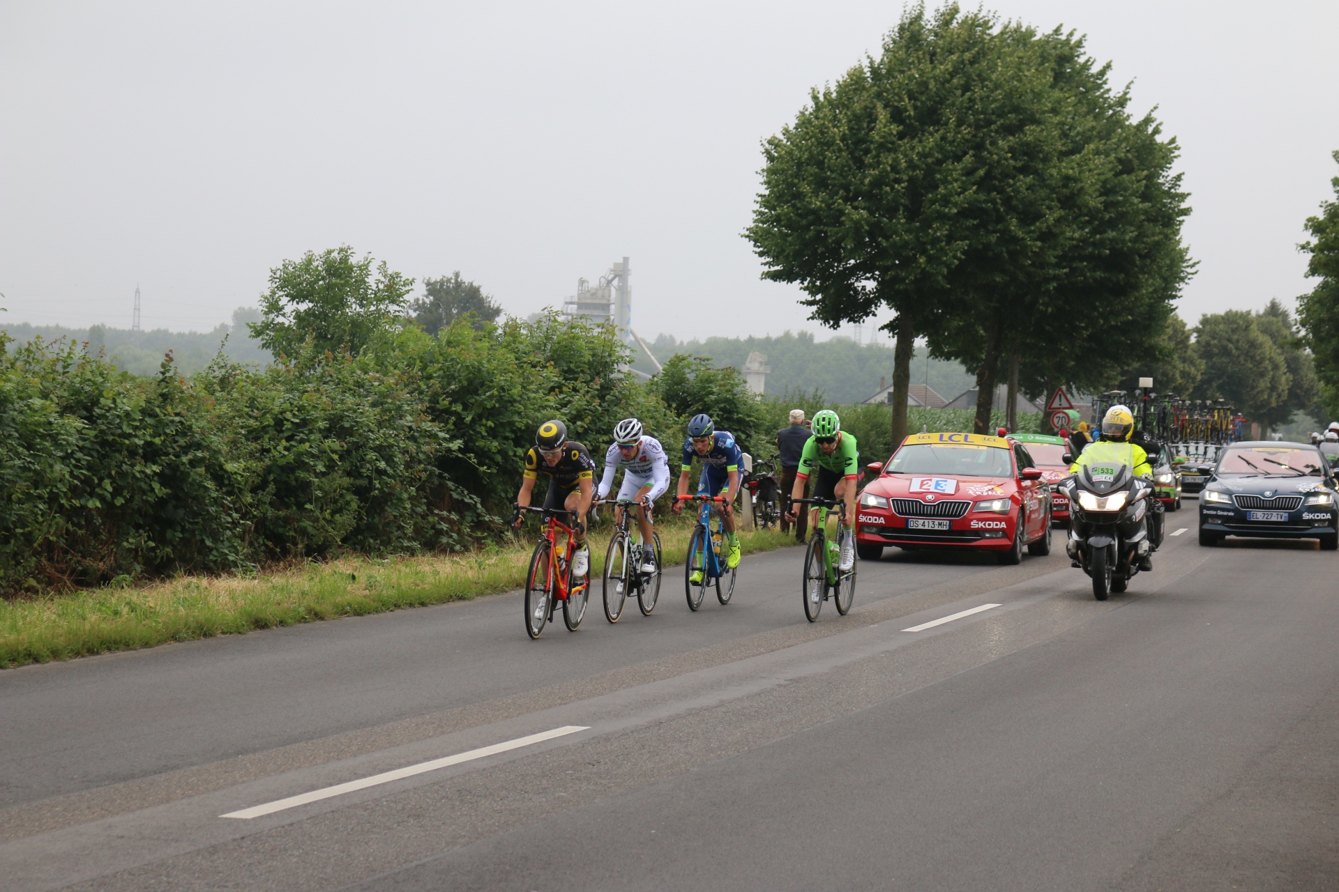
Tour de France in Linden-Neusen 2018
Category: Street
District: Linden
![]() 6,18736° O 50,84175° N
6,18736° O 50,84175° N
30.06.2017, KWH
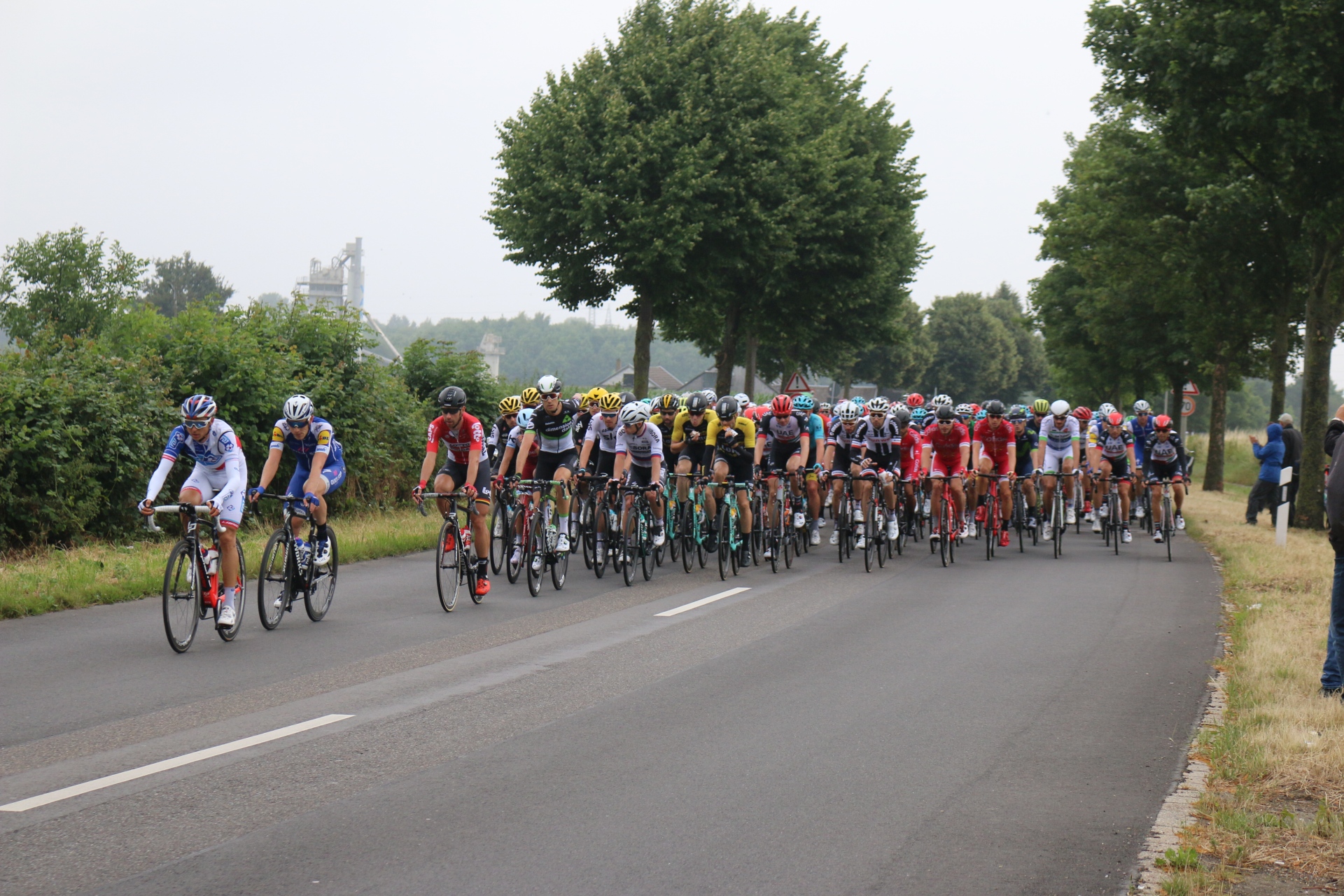
Tour de France in Linden-Neusen 2018
Category: Street
District: Linden
![]() 6,18735° O 50,84172° N
6,18735° O 50,84172° N
30.06.2017, KWH
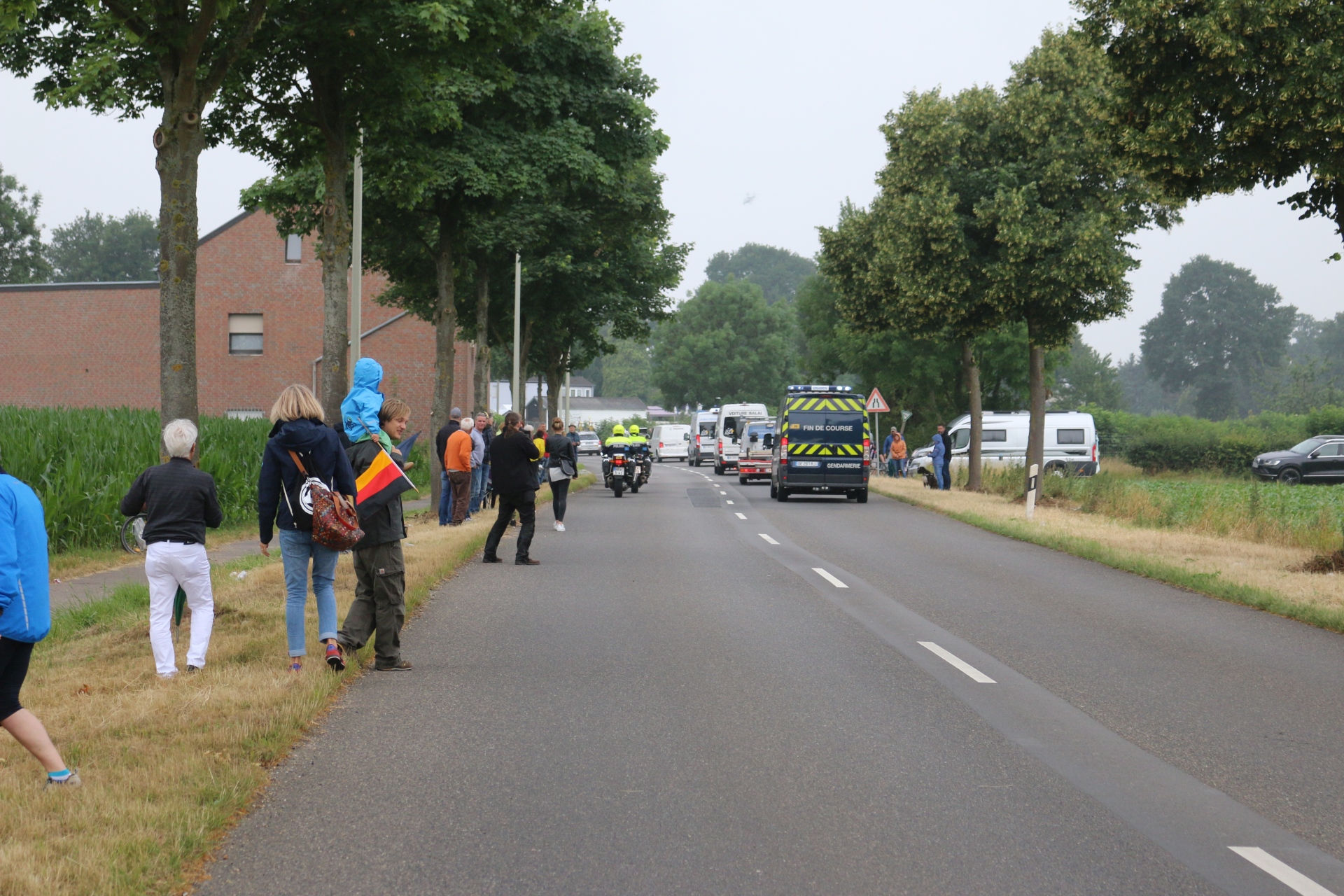
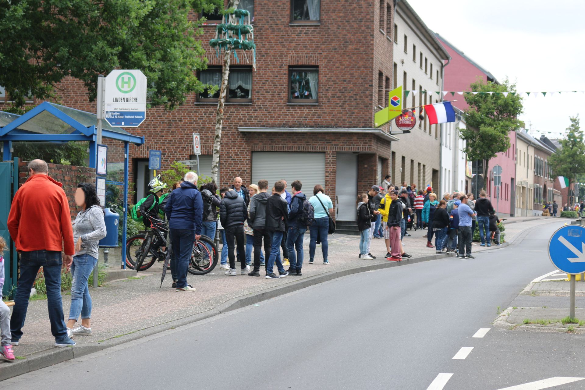
Festivity in Linden-Neusen Tour de France
Category: Street
District: Linden
![]() 6,17763° O 50,83669° N
6,17763° O 50,83669° N
30.06.2017, KWH
Festivity in Linden-Neusen Tour de France
Category: Street
District: Linden
![]() 6,17759° O 50,83669° N
6,17759° O 50,83669° N
30.06.2017, KWH
Festivity in Linden-Neusen Tour de France
Category: Street
District: Linden
![]() 6,17771° O 50,83673° N
6,17771° O 50,83673° N
30.06.2017, KWH
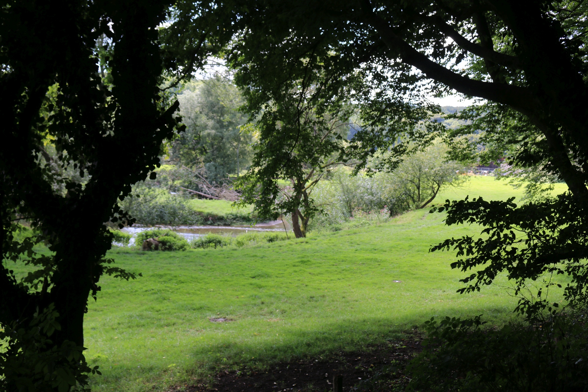
Valley of the river Wurm near Adamsmühle
Category: General
District: Schweilbach
![]() 6,1081° O 50,8193° N
6,1081° O 50,8193° N
31.07.2017, KWH
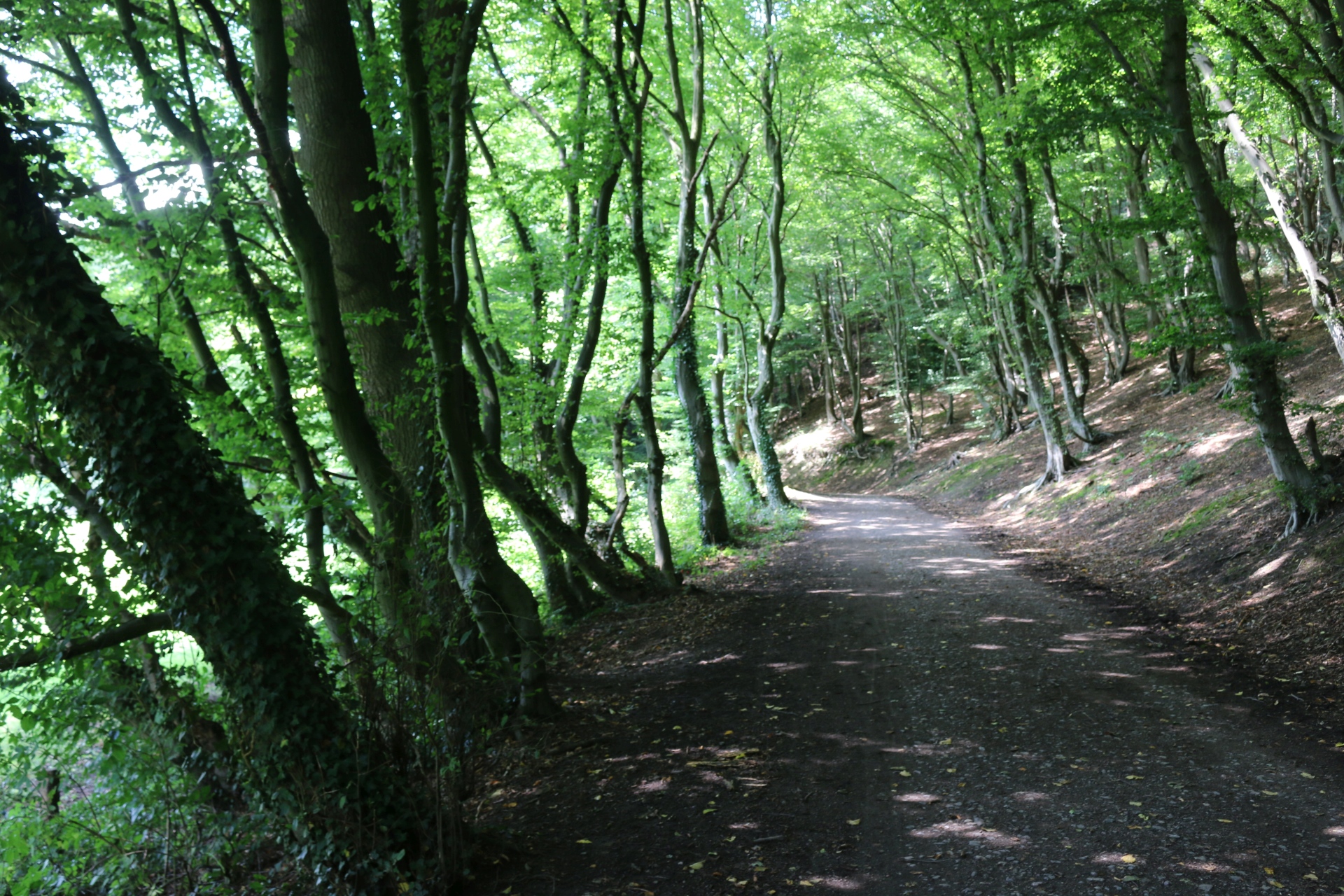
Valley of the river Wurm near Adamsmühle
Category: General
District: Schweilbach
![]() 6,10806° O 50,81933° N
6,10806° O 50,81933° N
31.07.2017, KWH
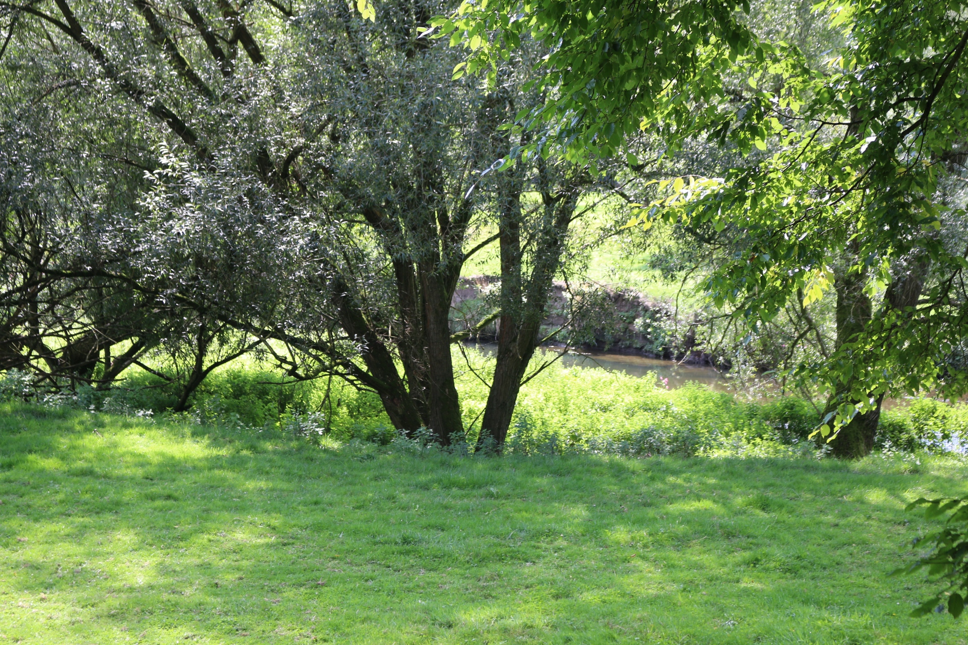
Valley of the river Wurm near Adamsmühle
Category: General
District: Schweilbach
![]() 6,10803° O 50,81934° N
6,10803° O 50,81934° N
31.07.2017, KWH
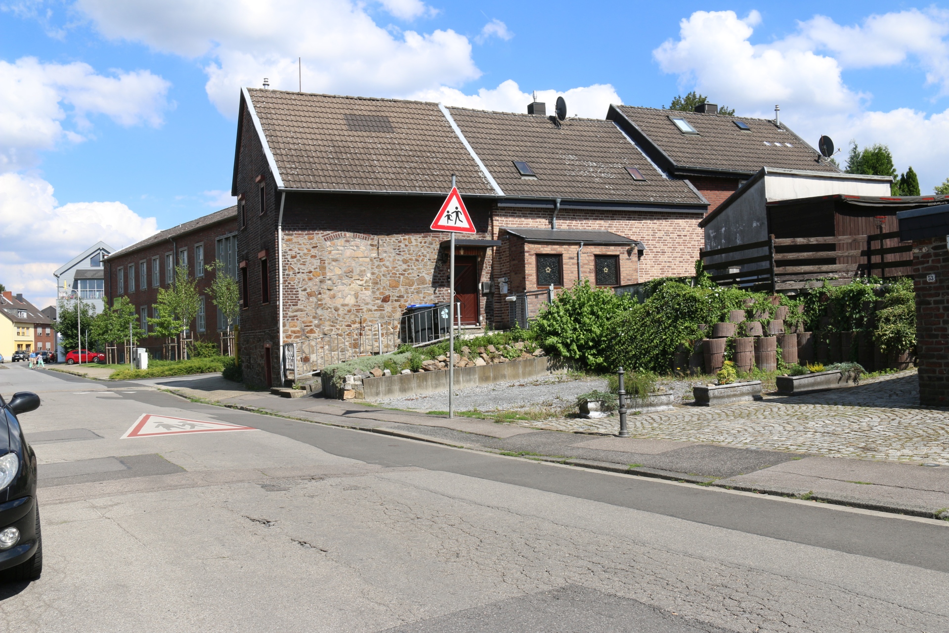
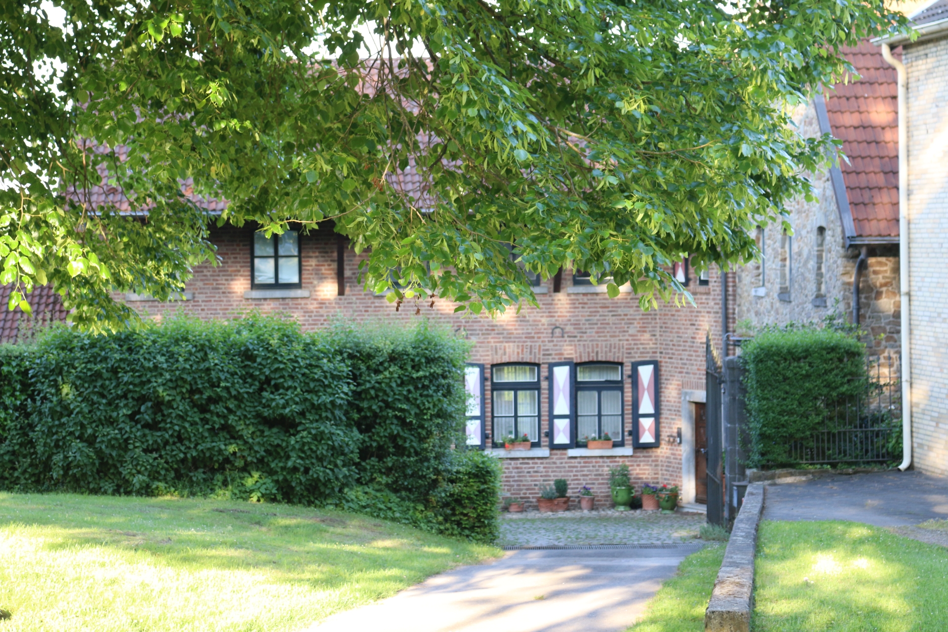
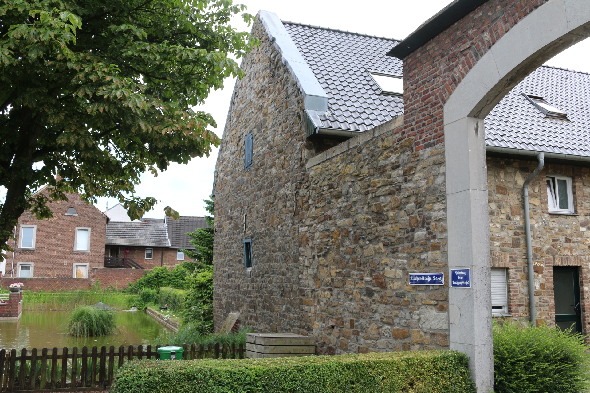
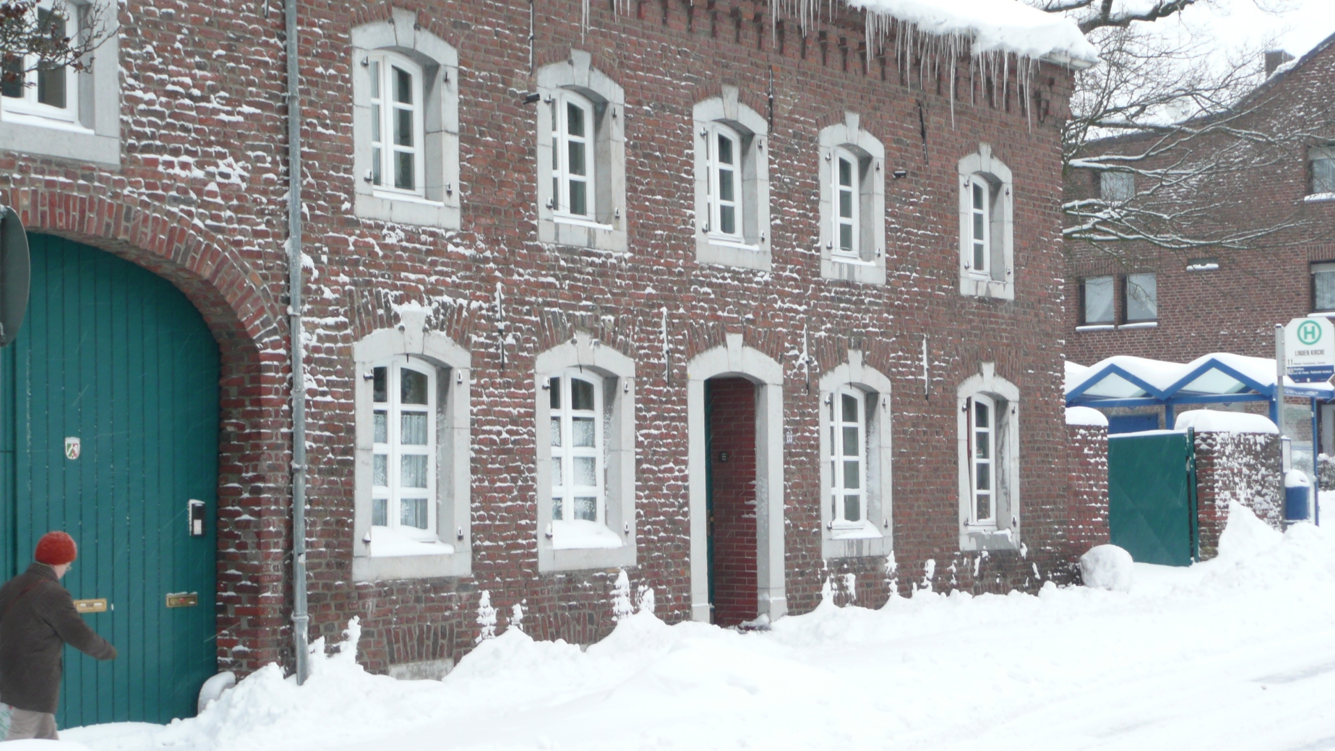
Building with historic fabric in Scherberger Street
Category: Business
District: Scherberg
![]() 6,1173° O 50,8191° N
6,1173° O 50,8191° N
31.07.2017, KWH
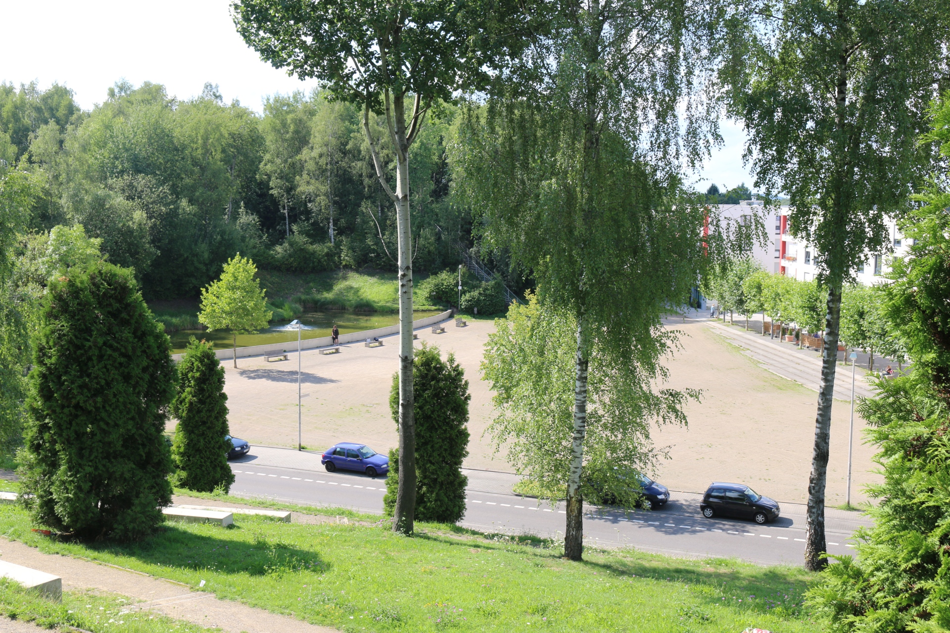
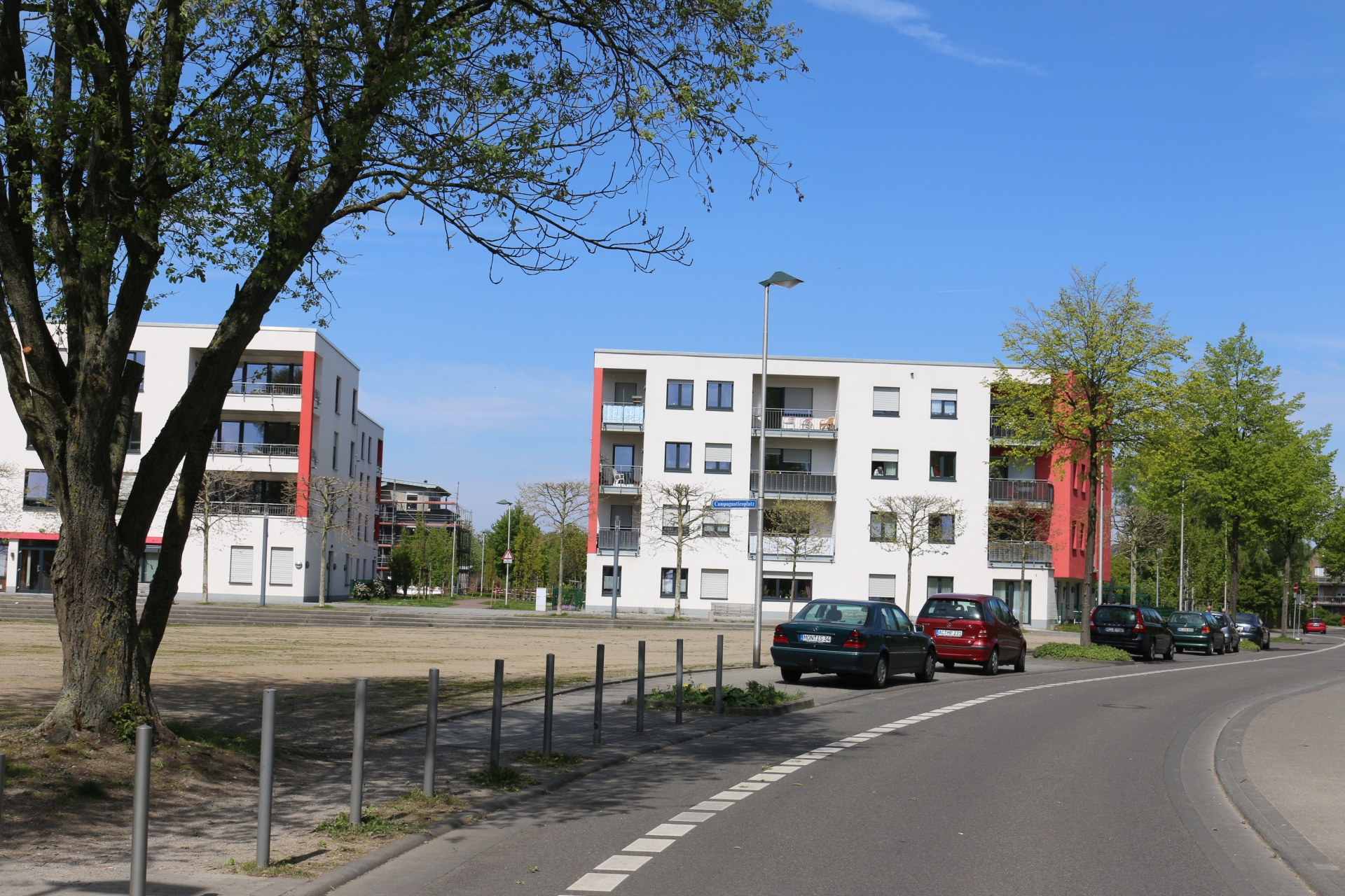
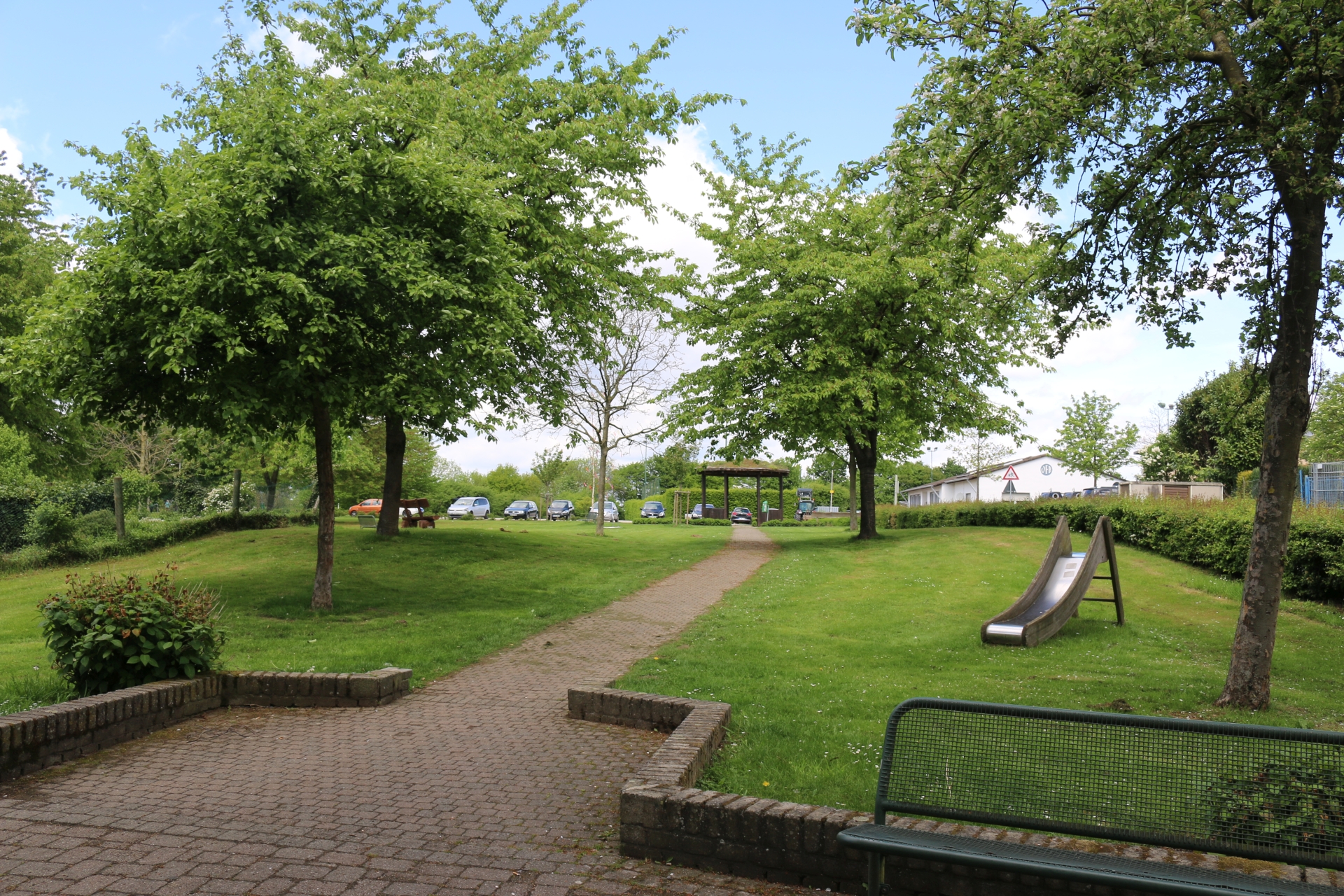
Lime heap park (Kalkhaldepark) from the heap
Category: Street
District: Elchenrath
![]() 6,13149° O 50,82509° N
6,13149° O 50,82509° N
31.07.2017, KWH
Village exit Würselen-Euchen Hüpchensweid
Category: Entrance_Exit
District: Euchen
![]() 6,15401° O 50,84359° N
6,15401° O 50,84359° N
31.07.2017, KWH
Village entrance Würselen-Euchen Hüpchensweid
Category: Entrance_Exit
District: Euchen
![]() 6,15392° O 50,8437° N
6,15392° O 50,8437° N
31.07.2017, KWH
Village entrance Würselen-Euchen Schleiberger Weg
Category: Entrance_Exit
District: Euchen
![]() 6,15557° O 50,8444° N
6,15557° O 50,8444° N
31.07.2017, KWH
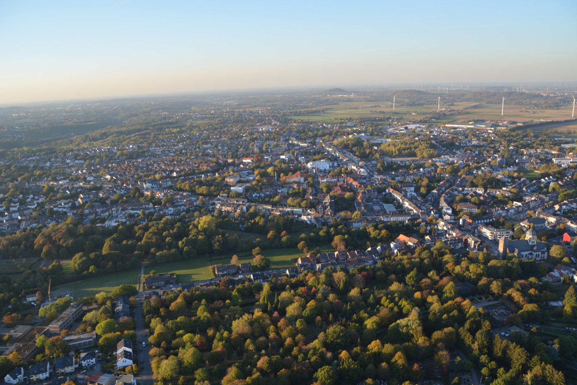
View over the center of Würselen, Tittelstraße in front, Alsdorf in the background
Category: Arial_Photo
District: Würselen Zentrum
![]() 6,12908° O 50,81288° N
6,12908° O 50,81288° N
05.10.2018, IE
Secondary school Wisselsbach, urban park, Bardenberg in the background
Category: Arial_Photo
District: Würselen Zentrum
![]() 6,13346° O 50,81385° N
6,13346° O 50,81385° N
05.10.2018, IE
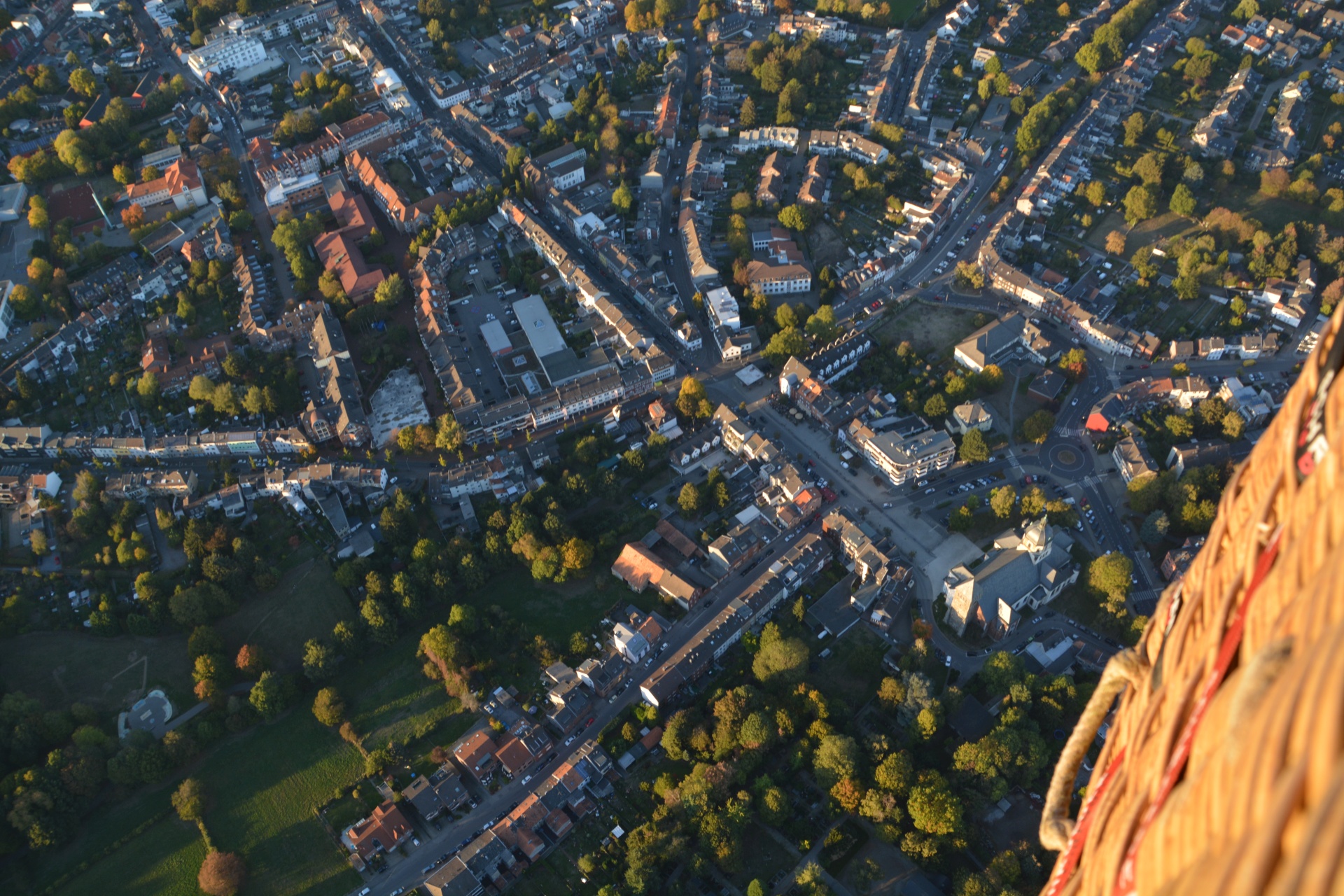
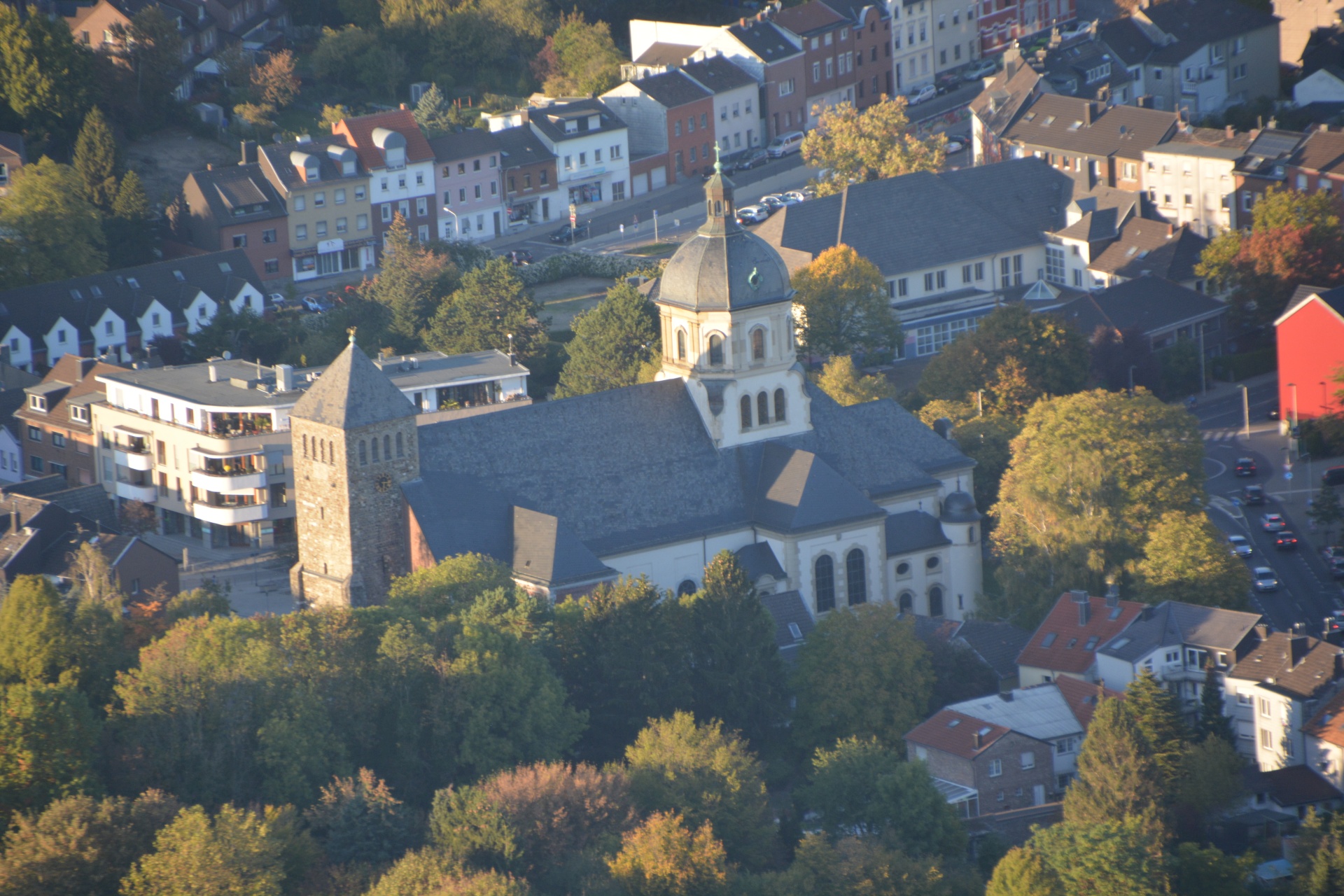
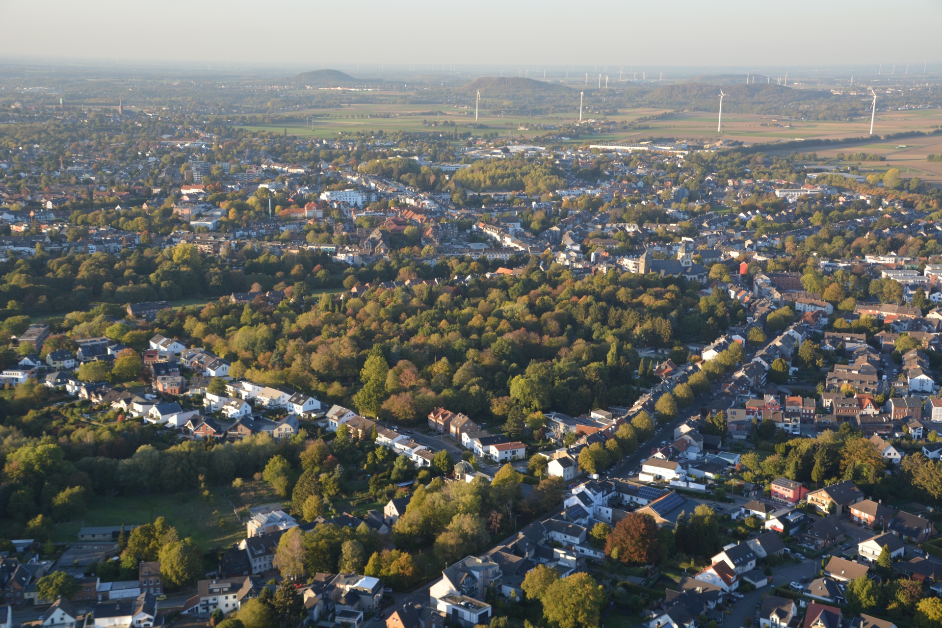
Center of Würselen, Markt, Morlaixplatz (top left), St. Sebastian (bottom right)
Category: Arial_Photo
District: Würselen Zentrum
![]() 6,13398° O 50,81619° N
6,13398° O 50,81619° N
05.10.2018, IE
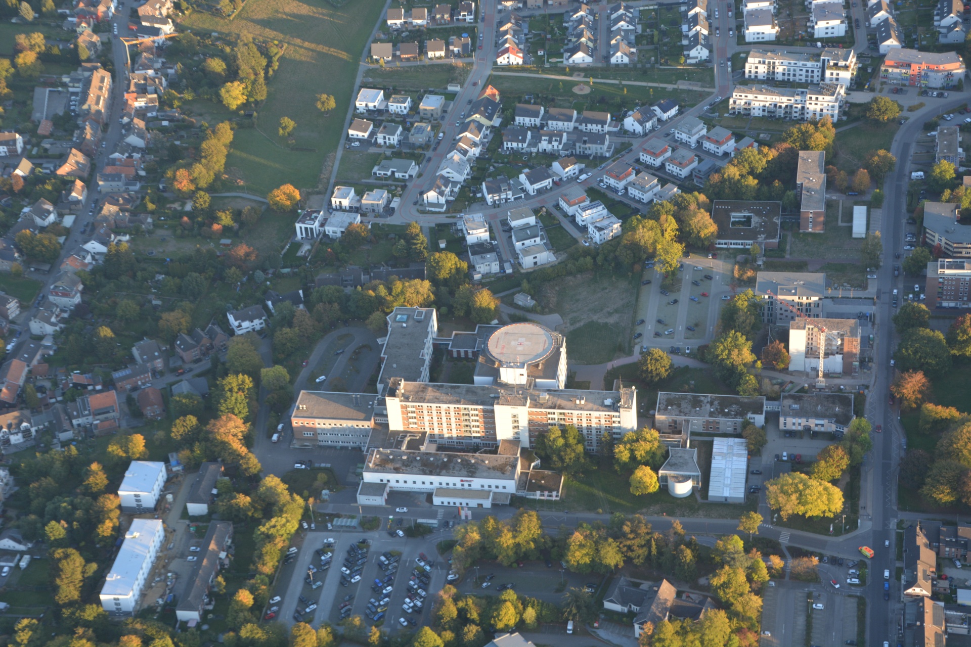
Hospital Rhein-Maas-Klinikum
Category: Arial_Photo
District: Würselen Zentrum
![]() 6,14123° O 50,81421° N
6,14123° O 50,81421° N
05.10.2018, IE
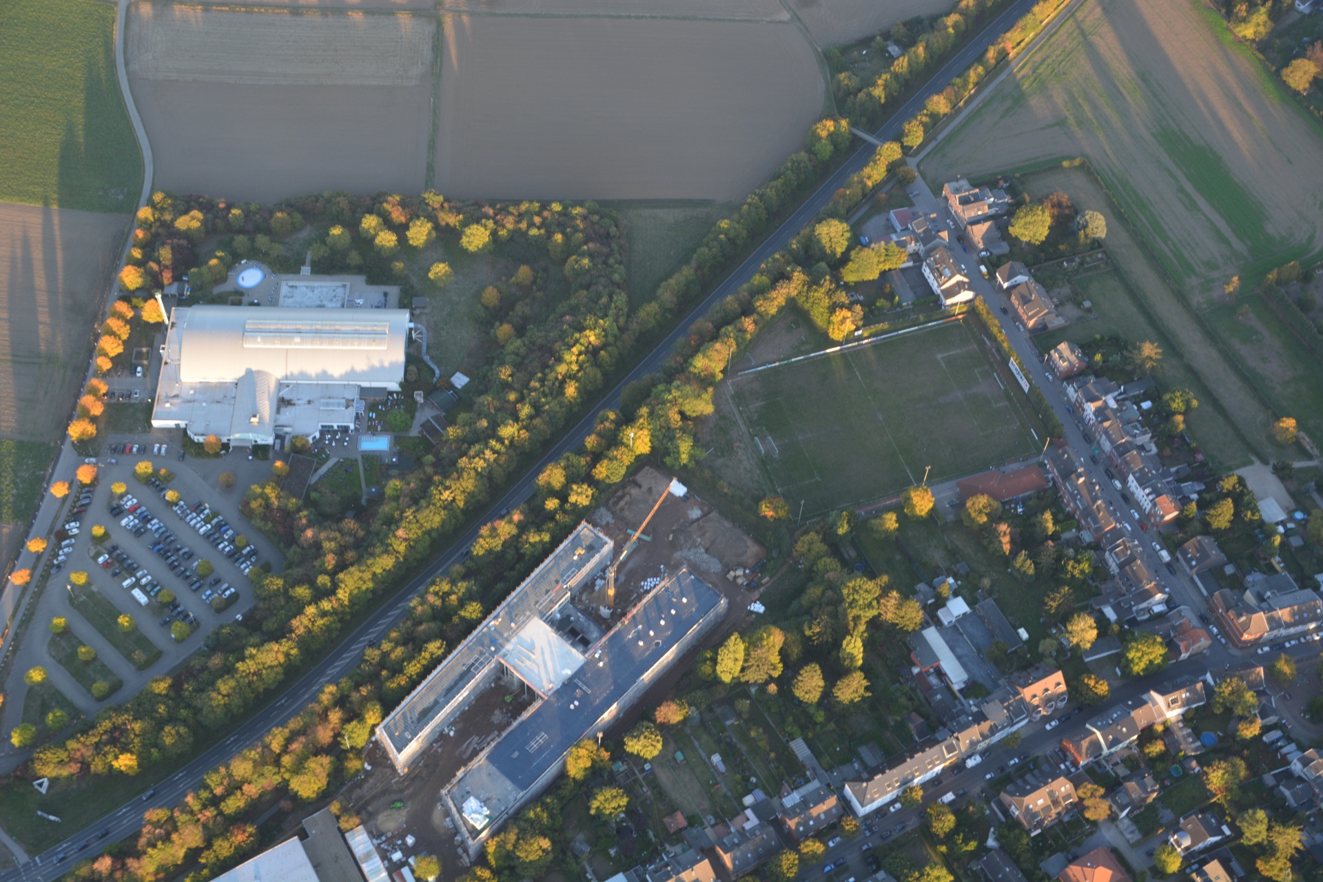
Comprehensive School
Category: Arial_Photo
District: Würselen Zentrum
![]() 6,14061° O 50,82004° N
6,14061° O 50,82004° N
05.10.2018, IE
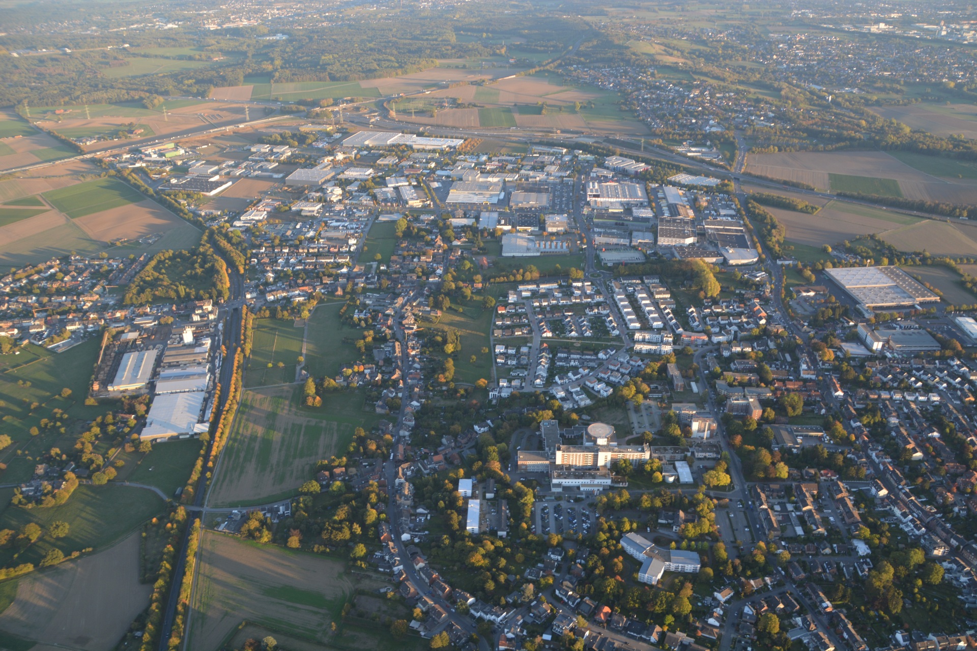
Rhein-Maas-Klinikum, industrial area Aachener Kreuz
Category: Arial_Photo
District: Würselen Zentrum
![]() 6,14196° O 50,81616° N
6,14196° O 50,81616° N
05.10.2018, IE
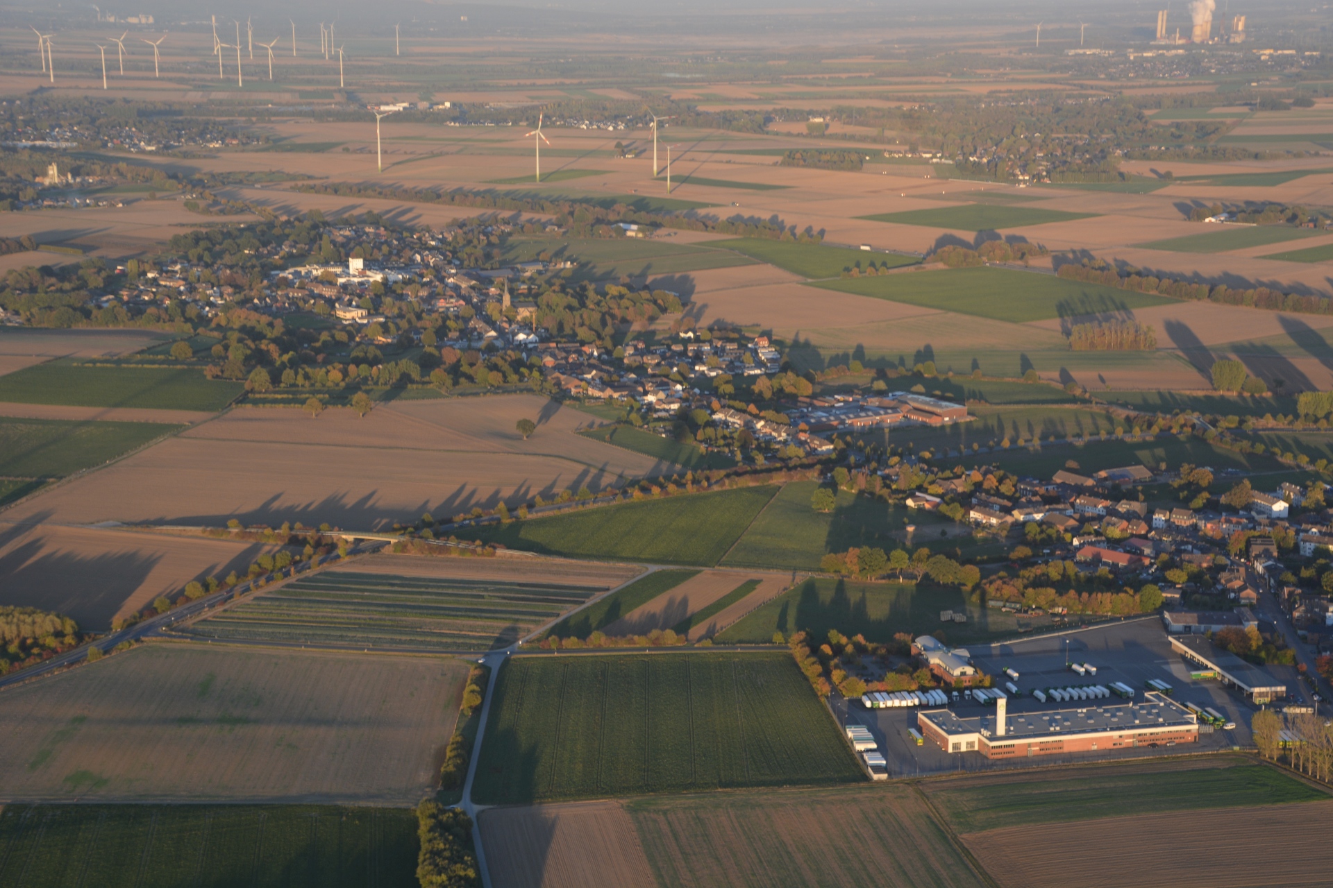
Linden-Neusen from the west
Category: Arial_Photo
District: Linden
![]() 6,16668° O 50,83126° N
6,16668° O 50,83126° N
05.10.2018, IE
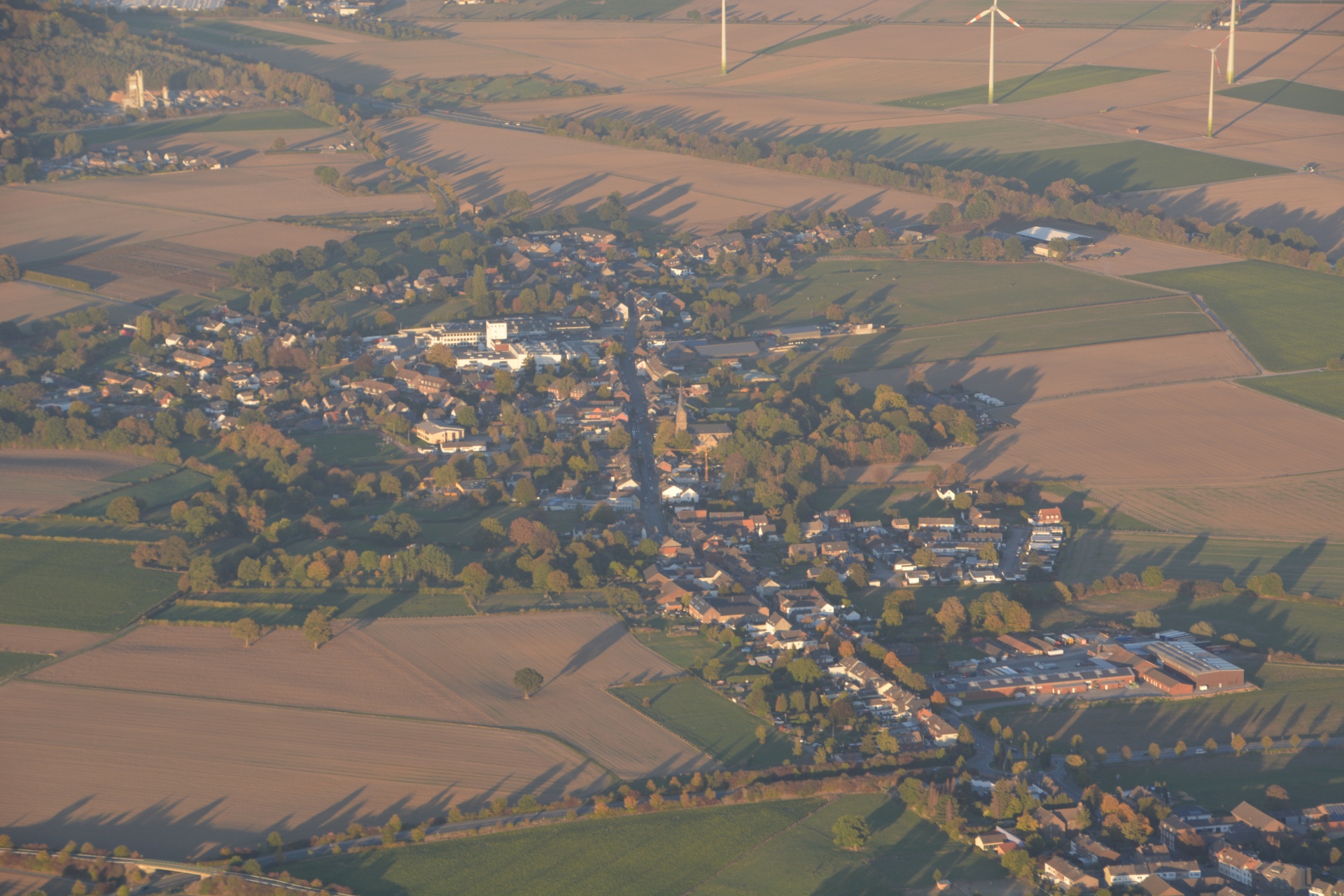
Linden-Neusen, in the background upper right power plant Weisweiler
Category: Arial_Photo
District: Linden
![]() 6,15458° O 50,83337° N
6,15458° O 50,83337° N
05.10.2018, IE
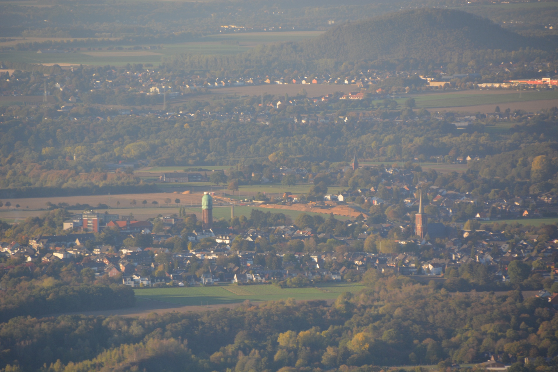
Bardenberg with water tower
Category: Arial_Photo
District: Bardenberg
![]() 6,11664° O 50,83456° N
6,11664° O 50,83456° N
05.10.2018, IE
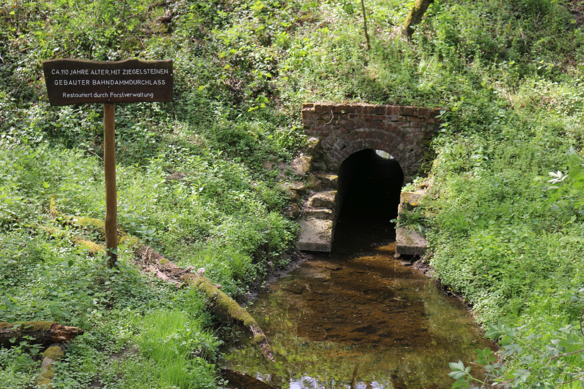
Old water pasage through an railroad embankment (built ca. 1900)
Category: Historic
District: Weiden
![]() 6,18852° O 50,80414° N
6,18852° O 50,80414° N
22.04.2019, KWH